La Cumbre Peak
Los Padres National Forest
Locate the trail head.After Knapp's Castle, we continued down Camino Cielo to the east. Besides hiking up on Tunnel Trail, I think I've managed to miss this section between Knapp's Castle and Gibraltar Road. I realized that La Cumbre Peak and its fire lookout is along here. This is another place with a little extra history. I had to stop and since I was operating the wheel and pedals, so did everyone else. This is another very brief hike and while Knapp set himself in a spot with primarily back country views, the vegetation on the peak tends to make it good for primarily front country views, making a nice complement. We parked below the paved road that loops up to the lookout and started up past the locked gate and a foolishly parked SUV blocking it. Arrows on the pavement indicate we should keep left, so we did, walking up under the young pines along the north side of the peak.
 |
|---|
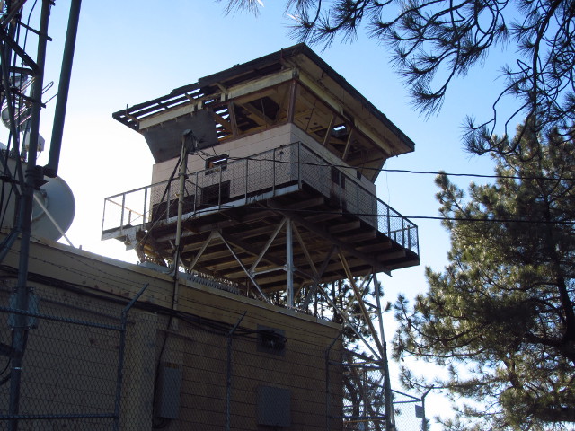
| The La Cumbre Peak lookout seems to be missing a bit of the roof, but still has a storm shutter. |
 |
|---|
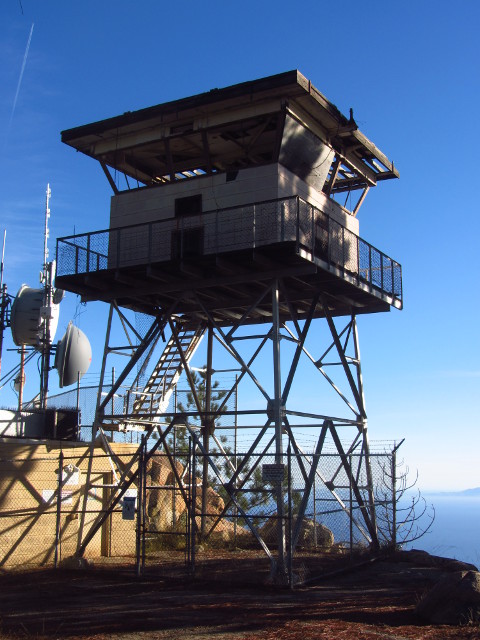
| Another view of the fire lookout. |
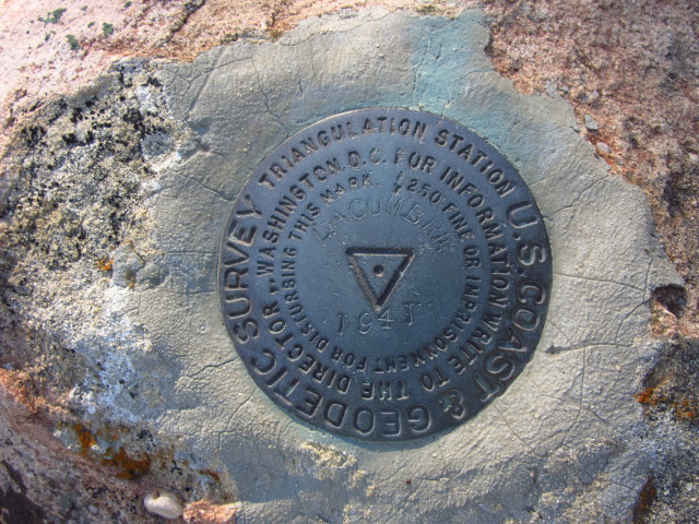
The peak isn't very high, coming in a few feet short of 4000, but it is the highest point for a while along the ridge. An obvious benchmark beside the road proves to just be marker #2, but I follow its arrow easily to the primary benchmark on the shady and rocky peak.
 |
|---|
| The primary benchmark at the top of La Cumbre Peak. |
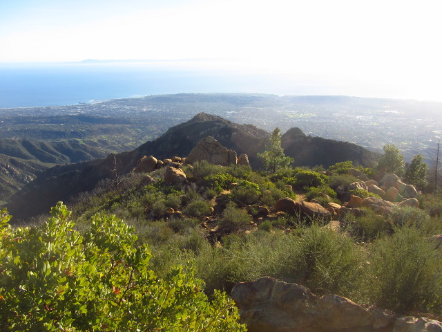
Following the looping road around means stepping out into the sunshine and views of the front country. There are a few spots with picnic tables for the lunching crowd. The islands from Anacapa to San Miguel are clearly visible in the bright ocean below.
 |
|---|
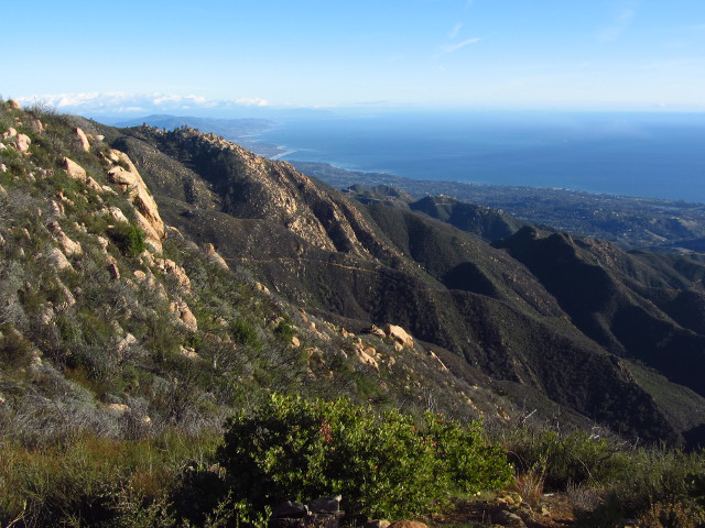
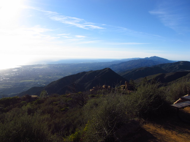
| Looking east along the mountains, we can see Tunnel Trail cutting its way up to the sky road and Gibraltar Road along a bump further east. |
 |
|---|
| To the south, Cathedral Peak sticks up. The islands are getting lost a bit in the bright ocean. |
 |
|---|
| To the west, there are a few more mountains before it all drops into the sea. Also, here is one of those picnic tables. |
Then we finished the loop and continued to Gibraltar and down again. The state of the road in that last section hints that I'm not the only one who has been neglecting that part.
©2012 Valerie Norton
Posted 25 December 2012
Liked this? Interesting? Click the three bars at the top left for the menu to read more or subscribe!


Comments