Posts

Showing posts from August, 2012

sketches

Image
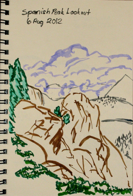
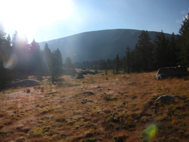
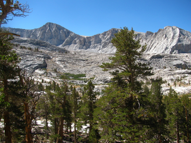
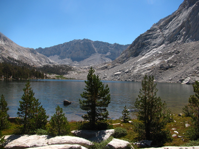
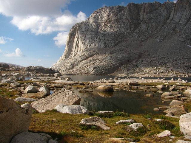
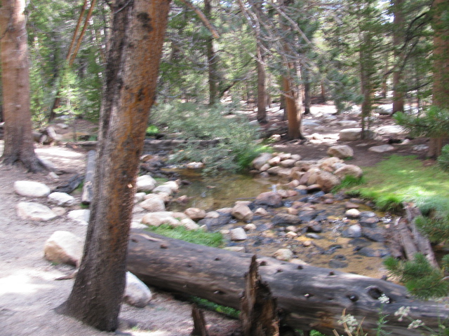
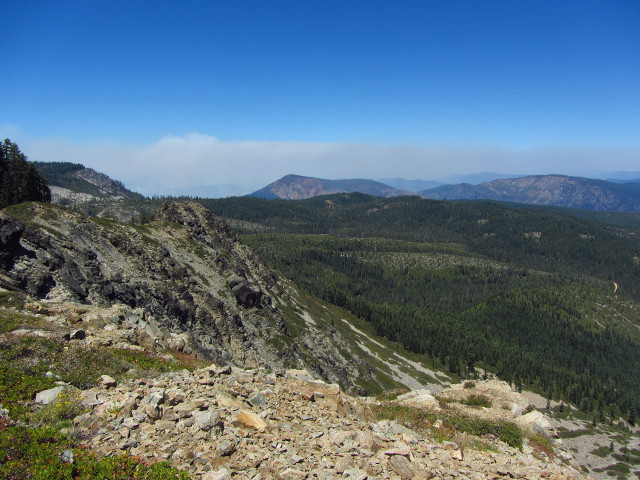
Sketches from the wild places of August treks. Chips Fire smoke from near the previous location of a fire lookout on Spanish Peak . A few of the lakes from along the Granite Gap trail . It may be heavy, but the big sketchbook ended up going with me backpacking. The watercolor book only has four pages left. At least the water brushes filled with ink are light. The last lake with trees on the first day backpacking . Neighbors fishing across the lake on the second day of backpacking . Found a tree above the treeline on the third day of backpacking . The trees near the treeline all have stories to tell as this one along the Crabtree Lakes . The meadow by our camping spot on the fifth and sixth day of backpacking . The lake we sort of planned to camp by on the fifth day of backpacking, but only passed on the seventh day . And some pictures from heading to the beach for good measure.

Sierra: Cottonwood Pass

Image
Sequoia National Park and Inyo National Forest Purple line for day 9. Map link. DAY 1   |   DAY 2   |   DAY 3   |   DAY 4   |   DAY 5   |   DAY 6   |   DAY 7   |   DAY 8   |   DAY 9 The sun starts to come up and we get up for an early start. We were thinking we might meet the other two of our group, back from Sky-Blue Lake, at Soldier Lake, but it as it is so near, they had gone on for more adventures. The secondary meet point is the trail head at 2 PM which is still 10-12 miles off, depending on our choice of route. I'm not too set on the importance of getting down by 2, but I suspect 3 PM is a good target to leave enough time to return my bear canister, so I'm running a little more slowly. We all get out before the sun hits our campsite and head up the trail we came in on, going toward Cottonwood Pass. Near the junction between the Army passes and Siberian Pass, the trees are already thinning out again. We turn off our inbound route again quickly, t

Sierra: Rock Creek

Image
Sequoia National Park Dark blue line for day 8. Map link. DAY 1  |  DAY 2  |  DAY 3  |  DAY 4  |  DAY 5  |  DAY 6  |  DAY 7  |  DAY 8  |  DAY 9 Clouds have moved in again for the morning as it dawns. There isn't much sun to enjoy, but we make the most of it. I feel already worried about the rain we may be getting for today. The sky seems to say, "Not yet, but soon." We find our way down to the south going trail and start to climb, quickly coming to a stock gate among the rocks. We make our way up, along the flat, and over a short pass to drop down into Rock Creek. Looking back over Crabtree Meadow as we climb up into the rocks. Guyot Flat, which seems like an easy land except that it is so high up. Some more of Guyot Flat. Off in the distance, someone is getting rained on.

Sierra: Crabtree Meadow

Image
Sequoia National Park Light blue line for day 7. Map link. DAY 1  |  DAY 2  |  DAY 3  |  DAY 4  |  DAY 5  |  DAY 6  |  DAY 7  |  DAY 8  |  DAY 9 I wake up to find that my play for sunshine in the morning is ineffective. The brightening sky is covered in clouds, particularly where it is brightest. I get a little bit of sunshine, but only for a few minutes. We have our various breakfasts and head out across country to rejoin the Pacific Crest Trail using three spots where the rock juts out from the cliffs on the south as a guide to our route, dropping only a little way as we go. We are aiming first for a large lake in the next drainage over. We come to the higher drainage and make our way past a few small ponds. Another meadow along the drainage that carries a deep puddle of water.

Sierra: Wallace Lake

Image
Sequoia National Park Dark green line for day 6. Map link. DAY 1  |  DAY 2  |  DAY 3  |  DAY 4  |  DAY 5  |  DAY 6  |  DAY 7  |  DAY 8  |  DAY 9 It seems to be a lovely day again, somewhere through the trees, as the sun comes up. It takes a very long time to hit us while locations across the creek where the passing ranger had indicated there are more spaces got the sun long before we did. I pack up my stuff thinking it'll be nicer to stay up at Wallace Lake where, presumably, there are three more people, but the others only plan on a day hike. We continue up the use trail, sometimes losing it but always finding it again. The rolling granite slopes of a wide glacial valley. A pond along one of the tributaries to the south of our route.

Sierra: Crabtree Lake to Wallace Creek

Image
Sequoia National Park Light green line for day 5. Map link. DAY 1  |  DAY 2  |  DAY 3  |  DAY 4  |  DAY 5  |  DAY 6  |  DAY 7  |  DAY 8  |  DAY 9 The new day dawns nice and sunny. Only the very smallest dots of clouds are in the sky to cause any worry about weather later in the day. Reports that our missing group member had set up at the end of the lake turn out to be true. Our old neighbors turn up again, one with a pack and the other two without as one is hiking out over Whitney by trails while the other two stay for more off-trail adventures. We set out our stuff to dry, then pack it up more carefully for protection from water. I leave my sleeping bag in the bivy as it is stuffed. The good dry bag being used to hold lunch gets the clothing in it instead and a smaller sack is used for the lunch food. Really, a simple arrangement to keep dry the things that it is most important to keep dry. We head out, down the trail that comes up to the lake. The lower Cr

Sierra: Crabtree Pass

Image
Sequoia National Park Tan line for day 4. Map link. DAY 1  |  DAY 2  |  DAY 3  |  DAY 4  |  DAY 5  |  DAY 6  |  DAY 7  |  DAY 8  |  DAY 9 The day dawns with beautiful skies. Puffy clouds play their way over the sky. The optimist can claim that there will be no rain today, but the realist suspects that these clouds will have friends soon and together they'll all have a party later. I untie my line and set everything out to dry again. The wet sleeping bag hood wasn't too horrible in my synthetic bag, especially while wearing my wool hat that ties on. Today, we go over Crabtree Pass and down to one of the Crabtree Lakes where we will have trail again. Poking around the day before determined that the direct route up wasn't very accessible, so we plan on making a lazy loop to the left and back around to the higher large lake instead of climbing the outflow. Our neighbors, a group of three hidden around a bump of land, headed out before us with a more direc

Sierra: Arc Pass

Image
Sequoia National Park Orange line for day 3. Map link. DAY 1 | DAY 2 | DAY 3 | DAY 4 | DAY 5 | DAY 6 | DAY 7 | DAY 8 | DAY 9 The day dawns sunny but with clouds again as I get up. Most aren't moving until the sun hits them again, and I was happy to follow suit. When it does, I untie a few knots and push my makeshift roof aside to let it dry a little and started putting other things out as well. The day was quite cold without the sun on me, but with the sun it warms quickly to something very pleasant. I pull my camera out of the bivy's waterproof stuff sack to find that I should have made sure it was drier when I put it in. There is now moisture on the inside of the LCD and it turns right back off when I try it. Today is a layover day and we are entertaining thoughts of going up one of the peaks although we don't know any of the routes. First, we'll go up to Arc Pass for a good look at Whitney. I tuck the camera into the mesh side pocket on the su

Sierra: New Army Pass to Sky-Blue Lake

Image
Inyo National Forest and Sequoia National Park Red line for day 2. Map link. DAY 1  |  DAY 2  |  DAY 3  |  DAY 4  |  DAY 5  |  DAY 6  |  DAY 7  |  DAY 8  |  DAY 9 The sky seems to get a little bit brighter all through the early morning hours with a planet or two, one quite large and bright, rising followed by a sliver of moon. Finally the brightening seems to really get going and the day dawns with a few clouds but plenty of sunshine to be found to dry out the wet stuff. I reach out to untie two knots holding the roof up and fold it aside and out of my way of getting up. My sleeping bag feels wet in the bottom where the bivy sack pocked out from under my makeshift roof that I was really only trying to put over the top half of me and give me some room to store boots and rain gear. I worry for a moment that it has not held, but inspection shows no moisture, only cold. My sockless feet weren't happy about it, so I decide to wear my thinner socks of the two pair I&

Sierra: Cottonwood Lakes

Image
Inyo National Forest Pink line for day 1. Map link. DAY 1  |  DAY 2  |  DAY 3  |  DAY 4  |  DAY 5  |  DAY 6  |  DAY 7  |  DAY 8  |  DAY 9 I have a chance to go into the high Sierras for a bit over a week, and although I'm feeling a mite irresponsible to take it, well, I have a chance to go into the Sierras for a bit over a week. The trip is set for nine days and goes from Horseshoe Meadows around the back of Whitney to Wallace Lake by a route including cross country sections. The original plan continued out via Shepherds Pass, but there was some mumbling about that particular pass, so it was decided to return to the Meadow by the trails to make a loop out of it and forgo the car shuttle. Permits to go into the "Whitney zone" were long gone when the permit was reserved, so Hitchcock Lakes and the mountain were out for legal reasons, but I went there back when we didn't need anything more than to fit into the quota of some trail head and the resources

Spanish Peak

Image
Bucks Lake Wilderness Plumas National Forest Locate the trailhead. I found a nice loop to go on, estimated it to be at least 17 miles, and found the trail to make it a nice smaller loop to go on instead. This one had seemed small, so I added in an excursion to a couple lakes at the side. And then I battled a printer far too long to get a map out of it and got to bed far too late before starting the hike the next day at Bucks Summit where the Pacific Crest Trail crosses Bucks Lake Road. I found the trail marked "closed" due to the fire north of the wilderness and across a large river canyon. At the top of the trail post was a copy of the forest order closing the trail. I found that it only applied to places north of highway 70 while I was south of it and wouldn't be going near it. Sign at the trailhead, which is only the summit in the sense that it is the high point of the road. As I decided to ignore the "closed" signs that were clearly oversta

follow by email