Posts

Showing posts from November, 2012

sketches

Image
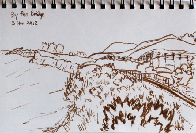
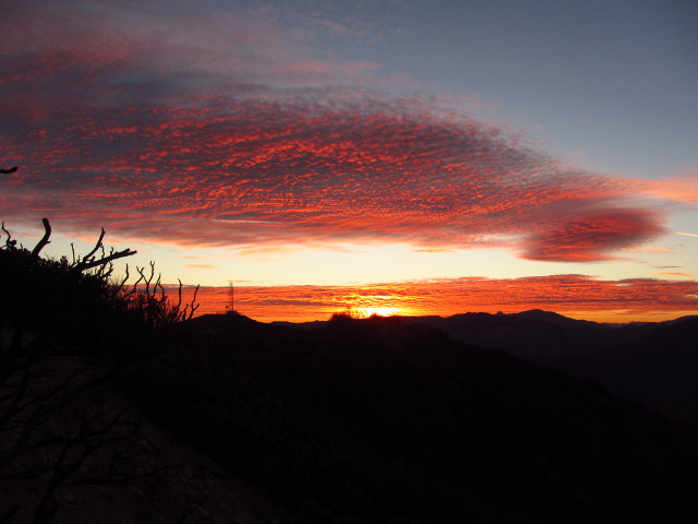
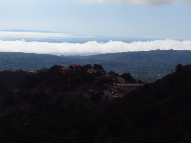
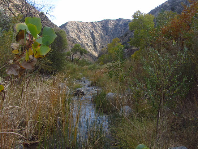
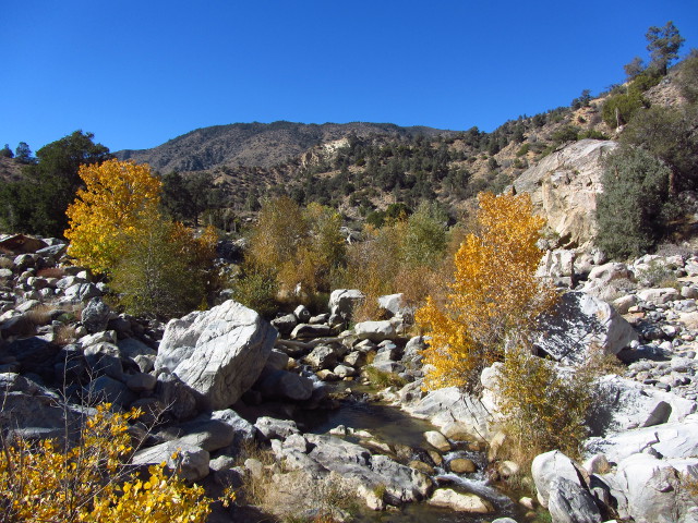
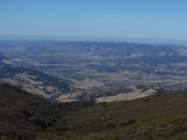
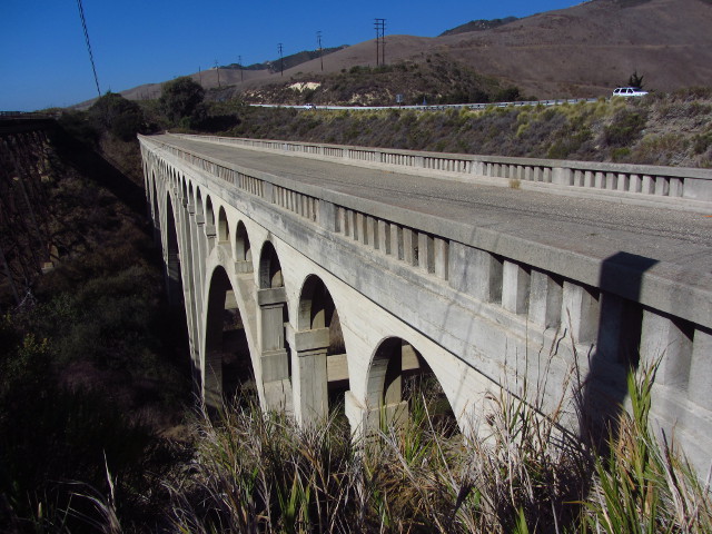
This month, I've been challenging myself to paint or sketch a tree a day, so the hiking sketches tend to feature a tree.  I think manzanita qualifies as tree, anyway. Some distant trees along the coast from near the Arroyo Hondo bridge . An oak next to the closed road down the north side of the ridge while driving a 4x4 road with inappropriate wheels . Some fall color along Piru Creek . A dry tributary with a waterfall that spills into Piru Creek . The tail end of fall color while exploring some more of Piru Creek . Mission Falls, nearly as dry as usual, hiked to by way of Rattlesnake Canyon .

Whitaker Peak

Image
Angeles National Forest Map link. Failing to get a group to come out for the moon on Sunday, I decided to take a hike up Whitaker Peak on Tuesday when the moon would be fullest. The mountain is tucked away in the Los Padres administered section of Angeles National Forest. I found rumors of a lookout at the end of the road, for instance it is labeled on the 1988 revision of the Whitaker Peak quad, but that has been completely removed now. The peak itself is off the road and does not have a good use trail. There was rain planned for Wednesday, so it would already be clouding up. I found a prediction that it would be 38% cloudy and deeply suspected it would be the wrong 38%, so was a bit slow to start off. The dithering cost an hour of hoped for hiking time, but there turned out to be plenty of time. I found a faded sign along the old Golden State Highway pointing to Whitaker Peak and turned up it to park by the gate. Starting up it, I found it to be paved and smooth, which wo

Rattlesnake Canyon

Image
Santa Barbara Front Country Locate the trail head. Every year after the first big rain, I seem to go out to some local waterfall hoping that it is somewhat more impressive than it was a few weeks ago. Invariably, it isn't. The first rain barely wets the soil, even if it is long and soaking eventually dropping about 1.5 inches as fell on the front side of the mountains on Saturday. I decided to hike up to Mission Fall by the nicer, or at least cozier with easier parking and fewer mountain bikes, Rattlesnake Canyon. The mountains did not drink up every drop that fell on them, the creek is a bit louder than it was in recent months, but it doesn't really look like more flow and there isn't any flow in the little tributaries. The mountains did manage to take in a lot of it. The day was fairly cloudy with a layer out on the water as well. It was a really good temperature for hiking, but the patchy sunlight sure makes photography difficult. There is construction in

Piru Creek from Hardluck

Image
Los Padres National Forest Hungry Valley State Vehicular Recreation Area Map link. I headed again to Hungry Valley, this time with multiple plans. The road is marked as open 1 May to 1 Nov, but was open for hunting season, but now that the deer are safe again, the road can't be expected to be open. At the entrance station to Hungry Valley, I found out that the forest doesn't keep the state informed about the local area or even supply them with the free OHV maps, so all I found out was that there was a bit of a rough spot at the start of the Piru Creek ford going up Alamo. I set off to try to get to the upper end of Snowy Creek trail, listed as closed but doesn't say if that's just to bikes or all or if that's the whole trail or just part. I found that the ford was easy enough to cross, but the road is looking a bit more like when I first drove it. I came to a ditch that I couldn't cross without plowing a lot of dirt with my front bumper and had to tur

Piru Creek from Gold Hill

Image
Los Padres National Forest Map link for when Google eats the embedded map again. There are threats that the various back country roads will generally be closed up on November 1 from now on, but for now they are open to allow access for deer hunters. I decided to take advantage of the open gates and cooler temperatures due to a coming storm to head up Gold Hill Road and stop just before the ford at Piru Creek where a trail follows the path of the creek upward. My map shows this route going out the back of a few dirt roads around Gold Hill Campground. I found it to be resplendent in autumn colors. I took a peek at the ford to be sure there was water in the creek since other reliable ribbons of wet seem to be drying out this year, then turned in and drove up the creek stopping near a bit of fence to discourage further motor vehicle traffic. I grabbed water and food and art supplies and headed out along the trail that snakes around the side of the fence to see what I could see.

Wildwood Canyon Park

Image
Burbank, Verdugo Mountains Map location. I headed down to hike with the geeks who planned on another attack up the steep trail that climbs from Harvard up to the communications site toward the top of the mountain. It is a short, steep, trail with a bit of a crowd in the morning until the heat gets to be a bit much. We start climbing when it is quite warm enough up the first of three trails that leave the road and head up, quickly catching a bit of view out over Burbank. The trail quickly gains a view of the nearby golf course and city beyond.

West Camino Cielo

Image
After failing plan A and plan B and finished poking around the old bit of highway bridge, I returned to Refugio to put plan C into motion. I would head up to Camino Cielo along Refugio Road and then see what it was like on the way to San Marcos Pass. As I start to climb, I come to a sign saying there is a bridge out 10 miles ahead and the road is closed to through traffic in 7 miles. It doesn't look so good for plan C, and I was thinking that the plan would most likely fail because the road isn't good enough to travel in a little car with six inches of clearance. I continue up the road anyway. Refugio is a tight, shady canyon. In the lower section, it crosses back and forth over the stream. It makes one crossing warning of a narrow bridge, widens back up for about 10 feet, then narrows down even further and pretty much stays that way. I have a fair amount of traffic coming down the hill at me including a small FedEx truck, but there were plenty of wider spots to allow passing

bridge over Arroyo Hondo

Image
I set out today to hike Dos Pueblos Canyon or Arroyo Hondo, but didn't end up at either. There is an exit for Dos Pueblos, but turning down the actual road means coming to a sign saying, "Private Road, no thru traffic". I have no idea what anyone would to "thru" or through on this road to. It is supposed to go up the canyon a ways and stop. A couple trucks passed me as I glared at the sign and my map, but neither felt much like helping. The road did not look in particularly good shape and since I had a plan B, I thought I'd go with it. Somewhere further is Arroyo Hondo. I found Arroyo Hondo Preserve very soon after, sooner than expected in fact. They do not want people coming in unannounced, though. I was expecting a friendly parking lot with a trail opened about a year ago, this isn't it. I continued along failing to find something promising or a sign to designate it. I turned around and did something I've kind of been wanting to do for a while in

follow by email