Posts

Showing posts from April, 2013

sketches

Image
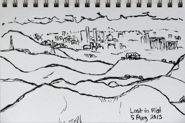
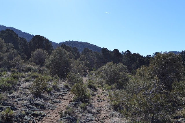
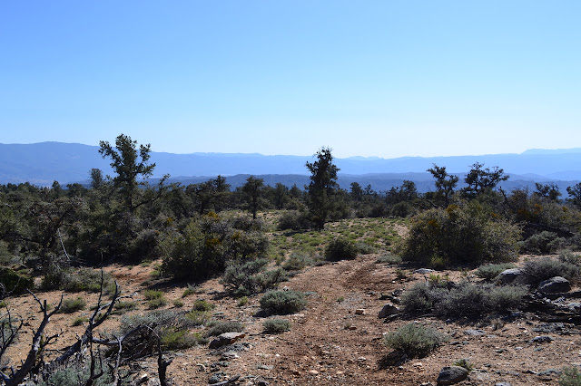
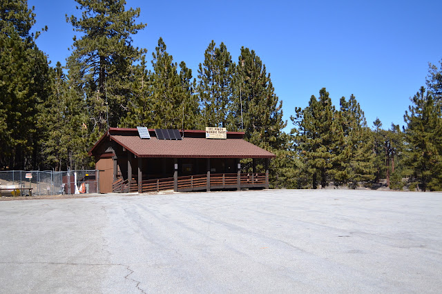
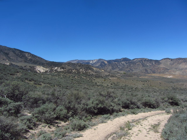
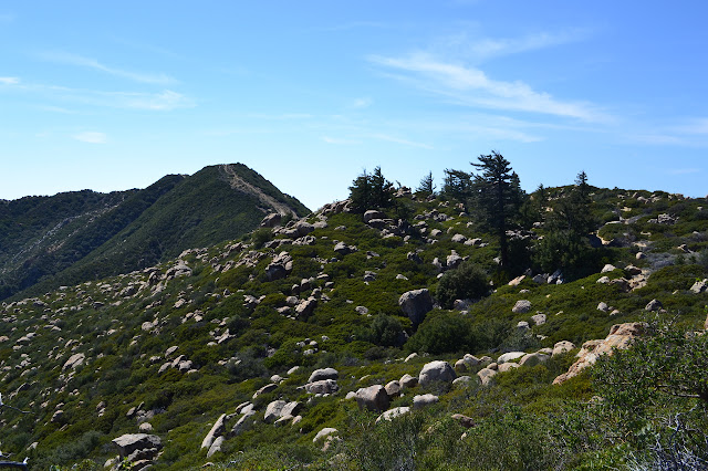
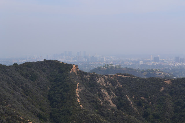
I took a hike around a trail I could see on satellite, but couldn't find information about on my way to LAX. A sketch from Divide Peak after accidentally climbing the highest peak in the Santa Ynez Mountains. I had an exercise in pure randomness . A moment sitting out of the wind at the top of Sawmill Mountain . After Sawmill Mountain, of course I had to go for Grouse Mountain . On the way back, I sketched on Mt. Pinos as well. I made my way up Fish Canyon , the least remote part of a tough area in the Angeles.

Fish Canyon

Image
Angeles National Forest Locate the trail head. This hike begins on the other end of the Warm Springs Fish Canyon road I used for access to Warm Springs Mountain. Like on that side, this road is in good shape. Also like on that side, the trails nearby have vanished into the brush for decades without any sort of maintenance at all. Meanwhile, although it is easier to get to than many more crowded areas of the forest, it is thought of as remote. I expect this is changing, especially on this side where many of the trails are in the bottom of a tight canyon and could never have been very good, but also never very hard for route finding. The forces that wash away the trail will also wash out the plants. Also, when I parked by the side of the road at the locked gate, I parked behind another car and there was a group (of likely Boy Scouts) hanging onto it, waiting for their rides at the end of backpacking. I packed up, including some shoes for sloshing through water, and started

Cypress Point

Image
Out at the edge of the Wilcox Property, or rather the Douglas Family Preserve, there once was a tree... Cypress Point on 30 Dec 2009.  It was foggy. The wind came, and then there wasn't a tree... Today it is decorated with memorials of various sorts... But some day there will be a tree again...

HOWTO: download USGS maps

Image
The United States Geological Survey has been making their maps available to download for free from their store website for a number of years. Over the last year, they have been making many of their historical maps available as well. This is done from the map locator and downloader linked on the store page. To download a map from that page, you will need to place a mark on the Google map displayed, then click on the mark. This will give download links for each map available for that location from 7.5 minute squares to 1x2 degree monsters. This process could be more straight forward. Here is how to do it. There are two ways to place marks. The first uses navigation on the map: With the "navigate" radio button selected (the default when starting), move the map to the area you are interested in and zoom into the area until the zoom level is at least halfway to the highest zoom. Once in the desired location, click on the "mark points" radio button. No

Pinos: San Emigdio Mesa

Image
Los Padres National Forest Map link. DAY 1  |  DAY 2  |  DAY 3 I woke up well rested on day three. The night was colder than expected from the daytime temperatures, but still much warmer than the night before. Nothing was frozen. I got breakfast and broke camp and almost got out at a reasonable hour. It was feeling a little warm already once I got walking. The bit of trail I missed because I got interested in something off trail turned out to contain a sign with a better idea of how far this trail is, but some funny ideas further on. As with so many other trails, this one was also once a road. The names have changed to honor the interesting, but here are some destinations. It is 4 miles to Mt. Able Trail (with a road designation 9N25?), 6 miles to Sheep Camp, and 7 miles (a bit shorter than actual) to Mt. Pinos. As I traveled the trail back up, its route seemed even crazier. It was reassuring to see my own footprints coming down it so I knew I was on somethi

Pinos: Grouse and Abel Mountains

Image
Los Padres National Forest Map link. DAY 1  |  DAY 2  |  DAY 3 Ah, day two. I woke up on Sawmill Mountain, still warm under my quilt. One water bag was fairly exposed, having been tossed onto the ground cloth at my feet. I gave it a kick and it resisted, but eventually yielded. Much of the water in it had frozen overnight. The one by my head, sheltered by my tarp wind break, seemed fine and there were water drops on the inside of the tarp. I wasn't feeling hungry or hurried or anything to get me up and out into the cold. The sun came up and I got some direct sunlight for a while. Eventually, I reached out and touched one of those water droplets. It was frozen in place, even after sitting on dark brown in direct sunlight. I touched the water bag near my head, it had significant ice in it. I was thankful I'd cleared the tube of water before going to bed, it would have been frozen solid now. When I did get up and get started with breakfast, I found that the wa

Pinos: Sawmill Mountain

Image
Los Padres National Forest Map link. DAY 1  |  DAY 2  |  DAY 3 If you can't find chill next door, just go higher. Out to really test my new gear, I headed for Sawmill Mountain, elevation 8820. The predicted low (as of Monday) for Frazier Park on Wednesday, elevation 4640, was 34°F. What does that mean for up by the top of Sawmill Mountain? Something nasty, very probably, but this thing should go to zero, at least with reasonable clothing added in, and I can always bail. There's been a bit of wind blowing, so I made sure I could put up a wind break as a bit of caution, otherwise it's all up to the 6 oz. Climashield Apex with extra insulation in strategic locations. Well, also this silly insulated inflatable thing I've picked up and am a little bit worried about. Sure it says it's nearly twice as insulating as the old basic blue, but it could be lying. I made my way up Mt. Pinos and found a spot in the vast and empty lot at the top, elevation already

Random No. 1

Image
Hungry Valley State Vehicular Recreation Area Locate the trail head. This is an entirely random little hike. Some time ago, while taking an initially foolish but ultimately very nice hike , I nearly tripped over a benchmark labeled "Random No. 2". Although it does hint at there being at least one more random benchmark, I was willing to leave it at that. I even thought I'd seen it on a map somewhere, although I'd misremembered which. Then Craig R. Carey decided to help me out with that . Random No. 1 doesn't look that hard to get to, but even this wasn't enough to actually go looking for it. However, in a few more steps I almost tripped over a second survey marker, this one for the Los Angeles and Ventura County border. The small "entering Los Angeles County" sign next to it hinted that Los Angeles County surveyors probably set it. The Random No. 2 mark was set by USGS "in cooperation with Los Angeles County". It looks like th

Divide Peak

Image
Los Padres National Forest (map link) I decided to go up to Divide Peak partly because so far I have scorned the road that the forest service sends the public down instead of Matilija and partly because I wanted to see what the terrain really looks like about half a mile up from the end of this rather unsatisfactorily aborted attempt at White Ledge where the lines get a bit close together on the map. Sure, White Ledge doesn't haunt my background, I have other bumps to wonder about, but it is sitting there in the middle of everything being virtually unobtainable. The last few days, the marine layer hasn't been bothering to burn off, which tends to lessen the views of the ocean, but I decided to not worry about that. I added my car to those carefully ringing the dry Loch Lot and made my way down the locked road through Matilija Canyon Ranch listening to the squawks of peacocks, an action that now seems casual after the other trips from this trail head. There's a

MYOG: lens cap retainer

Image
I've been putting together a few bits of gear for various reasons. I'll probably get to saying more about them when they're better tested, but I thought I'd start with the one that I didn't even really think of as some gear: aretentioncord for the camera's lens cap. I've dropped a pretty penny on a bit of heavy camera kit and expect that I would lose the lens cap within a week as it comes, so had to do something about it. I found a cap for a Canon in Forbush, so it seems that maybe someone nearby needs a little help. So, get hold of a bit of cord and glue. I've got some from Michael's that comes in a dozen colors plusmetallic,but went boring and grabbed black. It's thin, tough, and not at all stretchy. The glue is some E-6000 I picked up in a pinky sized tube for even less. Locate a spot on the side of the lens that is far from buttons and doesn't move and cut a bit of cord to reach from it to a spot on the cap plus an inch or so extra f

Rivas Canyon

Image
Santa Monica Mountains National Recreation Area Map link. I would be in a stone's throw of a bit of trail I had located, but found no information online about. I would have sufficient time to investigate it, so I headed out to Rivas Canyon Park. This is a tiny bit of land sandwiched between Temescal Gateway Park and Will Rogers State Historic Park. People seem to consider this park simply as a holder for a trail to travel between the other two, but I had found a very distinct looping route around the ridge edges that define the watershed that is Rivas Canyon. In fixating on finding the road and making the left into it safely, I managed to miss that it is private. That and that there is virtually no parking at the end force me to recommend against starting in the same spot. Temescal offers a much superior starting point with plenty of parking, including free space along the roads near the entrance, and bathrooms at the start. Will Rogers is also an excellent starting po

follow by email