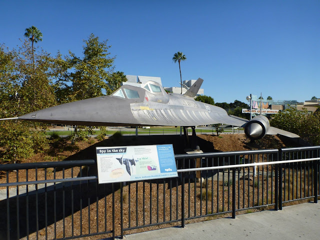
Posts

Showing posts from September, 2013

sketches

Image
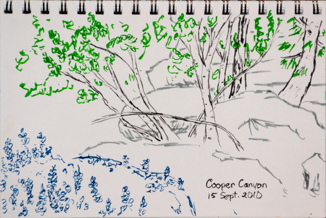
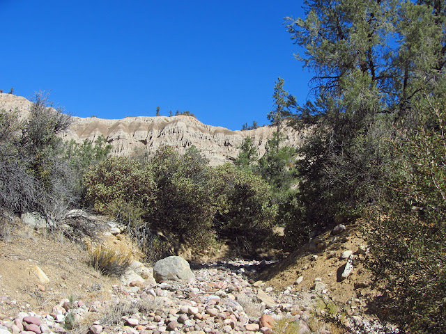
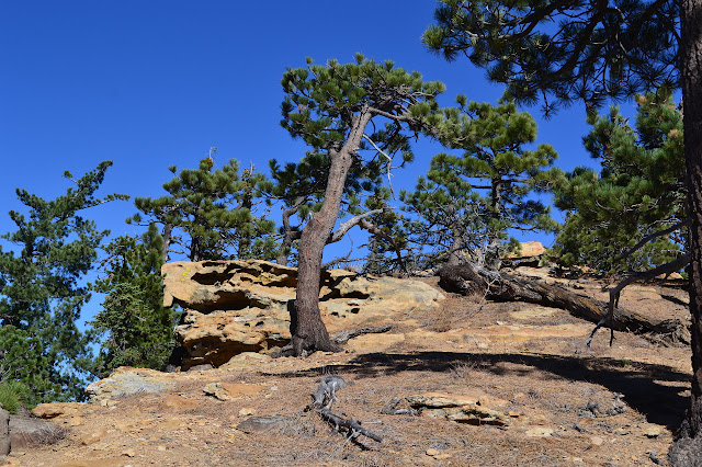
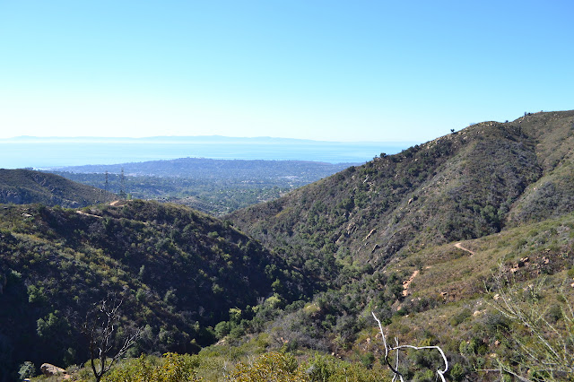
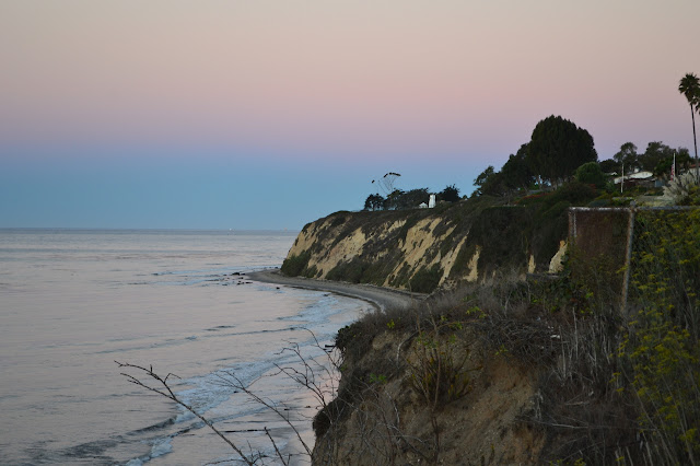
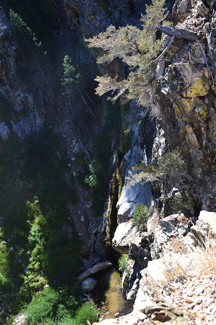
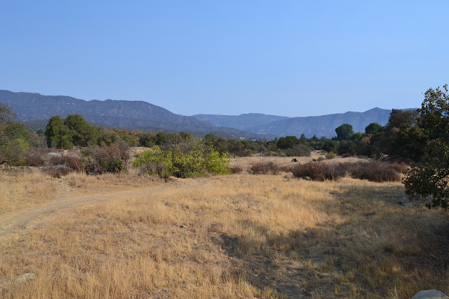
Sketches for the month of September were a bit more plentiful, at least in the second half of the month. Sketch made while at the waterfall in Cooper Canyon. One while sitting on the breakwater of the harbor. Down on the beach on a foggy day when we had a massive cruise ship in the bay. Up on the hillside just after entering Honda Valley as the fog is breaking. Sitting on Arlington Peak when the water looked a bit low. Hanging at Reyes Peak again.

California Science Center

Image
Los Angeles Deciding to go to see Endeavour doesn't take long. Sung and I arrive at the California Science Center in time for an early showing of Flight of the Butterflies, which is the first time I've watched an IMAX movie and the first time I've watched something in 3D. Yes, I seriously haven't indulged in either of these before. Shuttle viewing is free with the movie. (It is also free without the movie, but they try not to mention that.) I manage to arrive without my camera, so all of these photos are taken by Sung Byun. We park right next to the SR-71 and Sung is already happy he came. It means nothing to me, so he tells me of listening for the sonic boom every day as one of these would take off to fly over North Korea and Russia. We have plenty of time before the show to check it out. A massive chunk of titanium. Okay, I have to admit that this does look like a pretty special plane. It does Mach 3 and seems to be all wing. This is the training mode

Dome Springs Campground

Image
Los Padres National Forest We head down the mountain in the morning to join with some folks from Habitat Works and take out tamarisk that are invading the Dome Springs area. There are many invasive species trying to crowd out our native plants, but this Asian plant is set apart by its incredible ability to suck water out of the ground. Although capable of surviving without any water for half the year, it takes up water at a rate far in excess of other plants when it can get it. Of course, salts from the ground also come up with the water and the plant tends to increase the salinity of the soil around it, which is part of why it gets called a salt cedar. The soil becomes too salty for other plants long before the tamarisk is bothered. To get rid of them, we simply cut off the tops. Unfortunately, they are very good at growing back. Spraying herbicide on after will decrease grow back quite well, but just cutting it a few times in the year will eventually be effective. We head

Reyes Peak

Image
Los Padres National Forest Locate the trail head. The 28th is National Public Lands Day, which comes with free entry to the National Parks and free parking in the local forests and quite a lot of trail projects. Finding out about the trail projects is a little hit or miss, but I gather it will likely get better in the near future. I decided to join one that was planning on working Boulder Trail, ending up with groups working a little more trail and removing tamarisk in the badlands. I head up Friday to camp out at Pine Mountain before the work and hit it a little early to give time to see the sights. The newly paved road feels narrower, but does make travel a lot easier. At the end of Reyes Peak Campground, the tar road ends and it is back to the familiar for the rest of the way. The sign at the end has gone missing and there is plenty of parking around the loop at the end of the road. I note the trail head kiosk is repaired as I start along what is left of the ancient pa

Arlington Peak

Image
Santa Barbara front country Map link. Down below the main ridge of the Santa Ynez Mountains that make a backdrop for the city of Santa Barbara, there are a few shorter peaks that jut out. They stand obviously shorter than the short mountains that don't even break 4000 feet in the part behind the city. I tend to think of these peaks in front as, well, not real peaks. I don't think any of them have proper trails to the top. Most of them don't even have use trails. Still a few are named and a few are quite striking when viewed from the city. Cathedral Peak is both, which might be why there is a well advertised use trail that climbs its flank. Being "striking" can translate into "difficult" when actually climbing and this trail and this one is said to be class 2 and sometimes easy class 3 climbing. The difference may depend as much on lucky path choices as on the skill of the traveler. I decided to head up to it and, once there, maybe continue

Douglas Family Preserve and nearby beaches

Image
Santa Barbara Locate the trail head. It seems a good time to greet the new season starting today. Winds have come through and broken up the marine layer to the point that we might actually have a visible sunrise today. I head down to the beach to find out. Thousand Steps is my go-to point of entry. They give a little exercise on the way up and hasn't been under a pile of rubble for a while. They have been drier than normal and only a little bit slick. Not so much that they feel safe on the way down, but better than usual. Their number is far less than advertised, but in the summer the wet steps and close rock walls offer a cool climb. After dusk, their lack of lamps and unwelcoming nature to any outside light leaves them a threatening and cold cave. The last four steps have almost been worn to a ramp by the ocean waves and as fall takes hold, the sand will retreat from the bottom so that that ramp leads to a few foot drop off. No other beach access has quite as much

Burkhart Trail

Image
Angeles National Forest Map link. The high desert. While the valleys below swelter, some respite is found in the high elevations. But this desert is not dry and springs abound in its high reaches. This is not apparent as we drive through Buckhorn campground to the parking for the trail. There are no sounds from the creek beside the road and the ford doesn't even have a trickle starting across it. By the time we cross over the couple wet spots by small springs beside the trail, there are sounds coming from the bottom of the canyon. For a short distance, a second trail parallels the main trail with many spurs down into the creek, but following this route while examining below turns out to be too little effort to find the first waterfall. Further along, an unmissable use trail angles steeply back and down to reach the top of the second waterfall. This one is as difficult to get a look at as before, of course. The second waterfall marked on the USGS maps and the only

MYOG: synthetic backpacking quilt

Image
There is no getting around it, my sleeping bag is a heavy object in my pack. It also needs replaced as it isn't warm when the frost starts. I hiked 10 August days in the Sierras as a 17 year old and every day I looked at the dinky little key chain thermometer as I got up and each time it read 32°F. This experience has given me this quirk: I think a sleeping bag must be warm enough to spend a night comfortably when the water is thinking about freezing. The current bag doesn't do that. Saving some weight and going to a backpacking quilt is attractive to me because there doesn't seem to be a lot of temperature range between too cold to sleep under the bag and too cold with the bag. Your quilt enthusiast will also point out that all the insulation that you are crushing underneath as you sleep isn't helping any and is therefore extra weight. This is only mostly true for synthetic bags, and going to a quilt may require a warmer mat. The sleeping bag can also be more reliably

Ventura River Preserve

Image
Ojai Valley Land Preserve Map link. I've been wondering how far the folks have gotten along Camino Cielo now, as well as how exactly one might approach it from the east side. The obvious answer is to just turn left off the highway onto Camino Cielo and start hiking where the road stops. It seems likely this will be someone's gate, since there is no obvious reporting on this route. Then there is Kennedy Ridge, hike 53 in Craig Carey's guide book, a many junctioned route that starts at the Ventura River Preserve and promises only to get close to Camino Cielo. The weatherman was making strange promises for Tuesday to be 9°F cooler than the days around it, making a very nice temperature on the coast. Then I checked what that meant for Ojai and decided it wasn't cool enough yet. Instead, I'd just poke around the preserve proper and maybe get mom to come along as well. She agreed and the weather kindly came in a bit cooler than predicted. We left the much co

Santa Barbara Mission (with PLSS marker hunting)

Image
Santa Barbara Scanning the map (Santa Barbara 1995 7.5' quad from USGS) westward for more benchmarks, I came upon another mark on the map that I've come to know since stumbling over one of them on Sawmill Mountain , matching it up with a mark on the map, and then looking that up on the topographic symbols sheet the USGS offers. There, the map indicates a meander corner, part of the Public Land Survey System . Here, the map indicates a found corner a short way up Rattlesnake Canyon just feet from the trail. Or maybe it's a weak corner, it's rather hard to tell if it is bold or not. There is another a bit further off Jesusita, but it may not actually have that trail in the correct drainage. The Rattlesnake one was curious since I expect I'd have tripped over the marker already if a marker was really along Rattlesnake Trail, but then I figured out exactly where it is. If it was not actually on the trail, it would certainly have an easily spotted trail to it jus

follow by email