Hurricane Deck: Potrero Canyon
Los Padres National Forest
DAY 1 | DAY 2
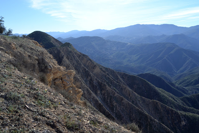
There is a light frost to greet us in the morning, but it burns off quickly. The snow on the higher mountains is already gone. The gale force winds that make this Hurricane Deck never materialized. Yesterday was all sorts of pleasant and it looks like today will be, too.

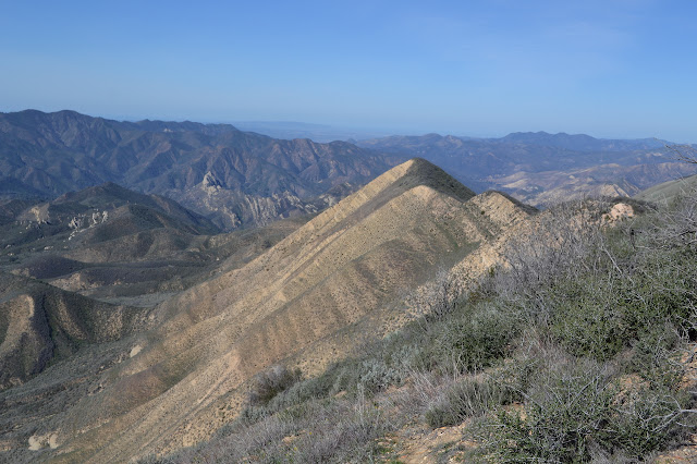
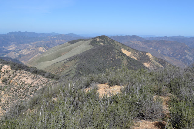
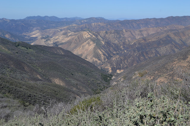
We make our way back down the peak to the trail. This side is a much shorter walk than the way up the east side. The trail does not drop much before taking us up the second peak that could be the highest. At the top, we look back and still cannot decide which is taller. USGS says it is the wider eastern peak we stayed on. My GPS seems to opine that it is the western one with the trail over it, but the barometer can change its mind easily.

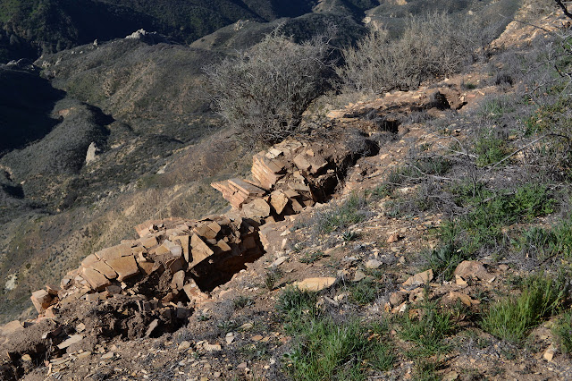
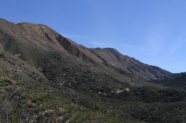
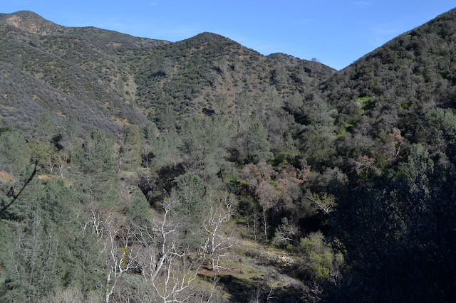
The trail sticks rather closely to the edge all the way down to the junction with Potrero Canyon. The east side has its sections where it does not even follow along ridge, plunging into the chaparral and sometimes coming out on another line. The west side has its steep downhills right along the edge. I do not even see the abandoned switchbacks along this part the way I did west of the junction.


Someone has removed the remaining sign at the Potrero Canyon junction, but the sign posts remain. It is unkind of them, but the trails are clear, there are not many junctions to mix it up with, and I am back in the familiar.

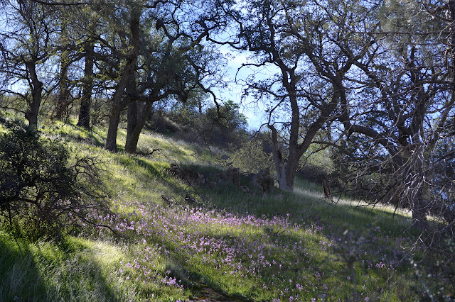
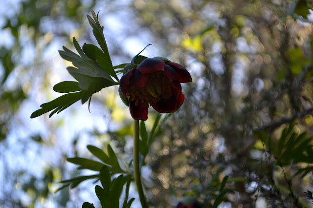
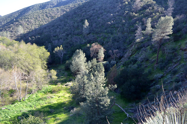
Down in the main potrero that the trail passes through, most of the oaks look much more alive today. Some take some close examination to see it, but there are buds on the tips of the branches. Spring is taking hold and it is actually already a little bit hot today. The shooting stars are thick among the grass on the north facing slopes. As we head down further, peonies have taken hold under the chaparral and are often blooming.

As we come down, there is a guy coming up brandishing only a small pair of pruning shears. He has dropped the rest of his stuff at the camp at the bottom and is thinking about where he will go tomorrow as he wanders up the trail to "give it a trim". The sign is still there at the bottom, and we turn past the staked out table and take the gentle climb back out along the Manzana.

One last little bit of road gets us back to Nira to finish the loop. I still have the better part of 2 liters left of my 7 liters of water and Mark has a similar amount from 5 liters. The leftover water is all down to having perfect climbing weather yesterday. The total for the loop is 20 miles, so we could have done it as a day hike. Got to plan for a big moon next time.
*photo album*
©2015 Valerie Norton
Posted 1 March 2015
Liked this? Interesting? Click the three bars at the top left for the menu to read more or subscribe!


Comments