Alder Creek Trail
Los Padres National Forest
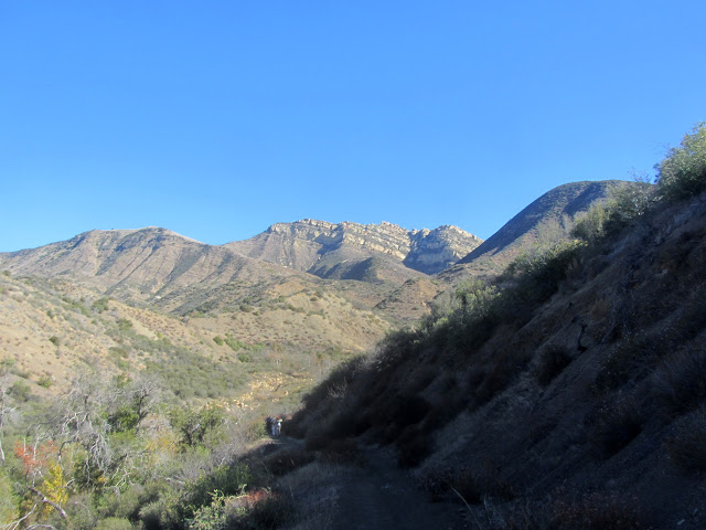
We meet in Fillmore and travel up to Dough Flat with a simple goal: to place signs along the trail marking the Sespe Condor Sanctuary that the trail travels through. It is a quarter mile wide corridor through an area that is otherwise closed to the public. We have a few tools to make sure the area around signs is clear, a tool to establish a pilot hole the signs will go into, and a second to drive the signs into the ground. The clearing tools are just loppers and a pick mattock, but the driver is some 26 pounds and the pilot is another 35 pounds. We also have to carry the signs, but only in one direction.

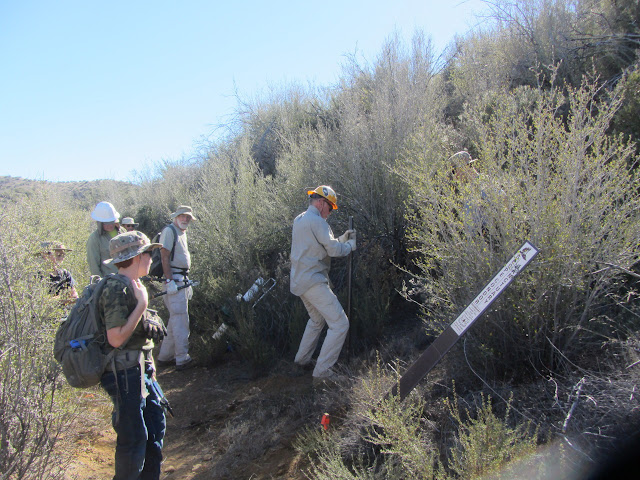
A little way into the sanctuary from the parking lot, we get a demonstration of how to use the tools. It is a simple procedure with a slight hiccup when an underground rock strikes the first placement attempt. We split into two groups, one that will drop signs as we go to the end, then start back driving them in, while the other sets to driving in the first ones. This way one set of tools should not need to be carried more than half the distance of the other. I grab five signs for my part of the load and we are off.


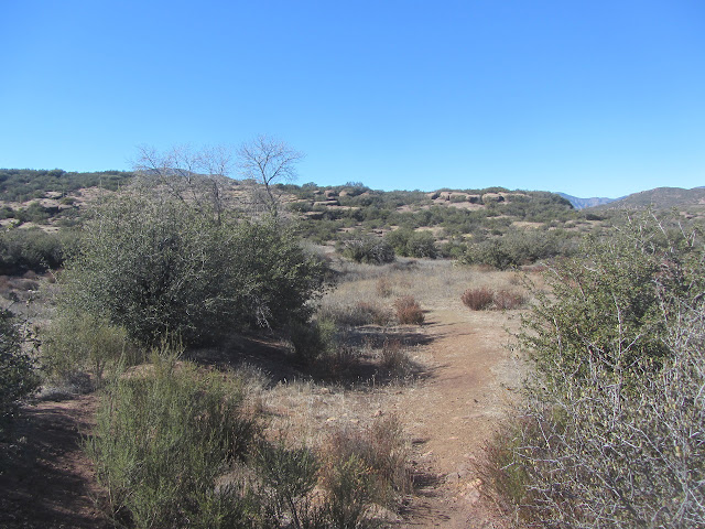
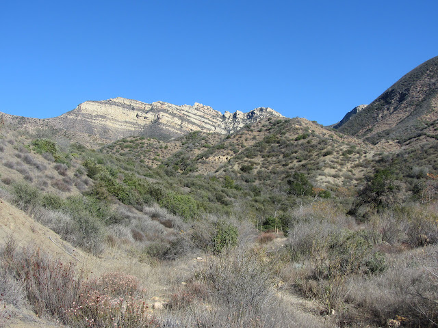
We make it up the hill without incident and take a brief rest before continuing on at a slight downhill. The signs did not feel heavy at first, but it is surprising how much the load lightens with each drop. A junction marked by a signs so rusted it is hard to make out any markings. I can guess at the word "Ant" toward the bottom and pointing to the right. Ant Camp is down there a couple miles. We turn left toward Cow Spring Camp. It is not much further. As we get to the camp, I am struck by the interesting rock slabs.


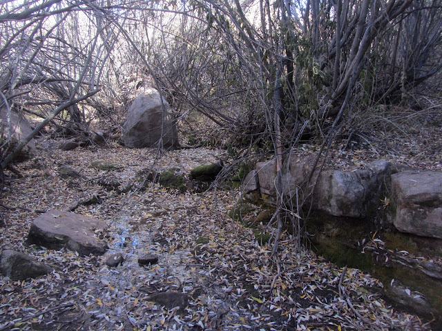
We check for water in the spring and then stop for lunch before driving in our first sign. The spring is dismal, but there is obtainable water. I notice a waterfall marked on the map and have to check for what it might be. The sign is just across from it.


We head back, now stopping a little longer at each spot to drive in the signs. It is an easier process than expected with very few sneaky underground rocks blocking the way. My arms may never be quite the same after carrying the driver for just a quarter mile over the top between two of the signs.


We are done before expected and head back down, grabbing the second set of tools as we go. We have enjoyed perfect conditions except for some promised cookies that went misplaced.
©2015 Valerie Norton
Posted 30 Nov 2015
Liked this? Interesting? Click the three bars at the top left for the menu to read more or subscribe!


Comments