Maxwell Trail
Angeles National Forest
The Powerhouse Fire closure may be expired, but there are still a few closed roads in the area. We decided to take advantage of one for a ride. It will be interesting to see what the fire has done, but most of this one did not actually burn. Finding the bottom to set up a shuttle is difficult as it looks like it is just some driveway in the middle of the town at the north end of Lake Hughes Road. There is some truth to this impression. The road does go to a home, then becomes a washed out mess on the way to the locked gate. There is plenty of room to leave a car there for a shuttle before heading up to the saddle by Burnt Peak to start. The air is a bit hazy today, reducing the views just a bit. We start off with a bit of climbing.
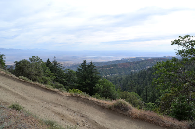

The road is nice and smooth and seems to be getting some travel by people with a key to the gate. There is some slow climbing at first, but it is soon enough done before the views seem to open up more and there is a bit of downhill.


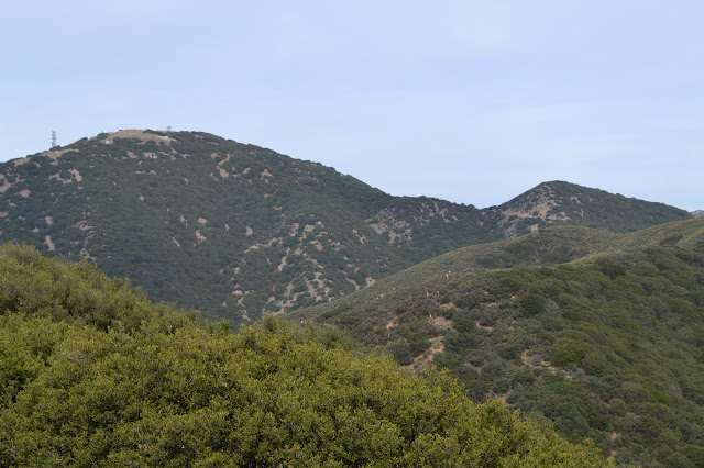
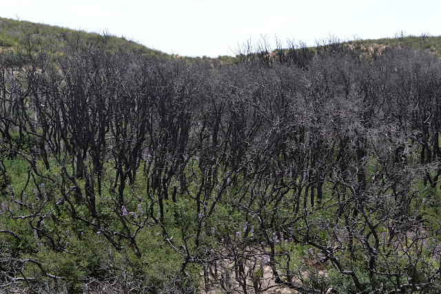
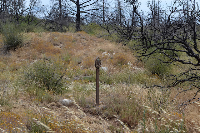
There starts to be evidence of some very wide fire lines along the ridges. We are looking for the geocaches as we go and a few points put us right in the middle of these lines. It looks like some giant came through with his sixty foot lawn mower. The ground is littered with the remains. The poodledog starts before the burn and is looking very healthy. It is easy to avoid while traveling the wide road. The tracks of cars have vanished as we find the burn. The burned sticks may not be so easily seen from a distance, but it is clear once near them.
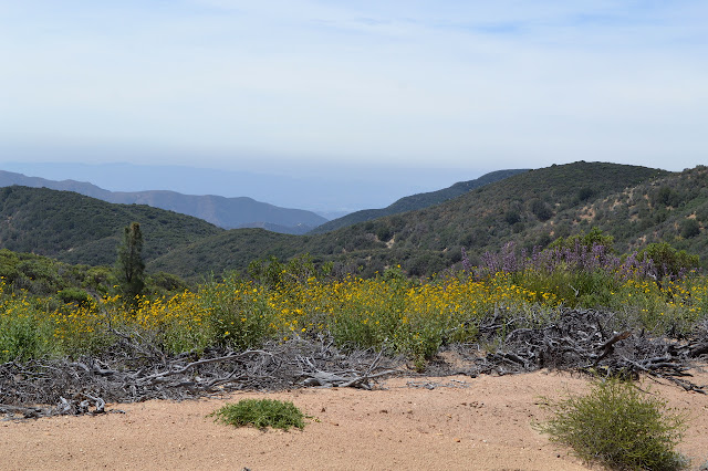


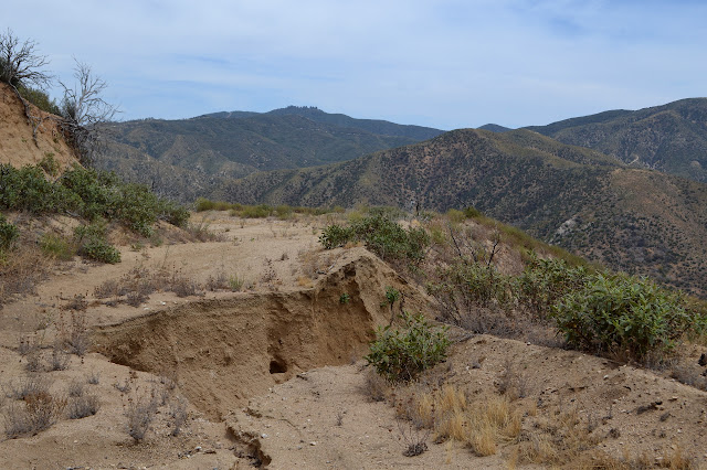
There is more and more erosion showing on the road once it does not have any heavy travelers.

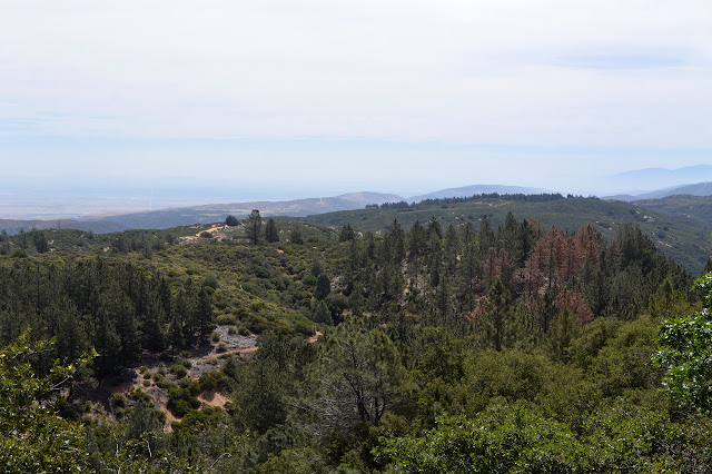
Even with the erosion, the road is pretty good, right up until the car swallowing hole. After that, there is a distinct single track developing along it. There are more huge holes in the road as it starts to drop more quickly to the paved road below. Meanwhile, across the local valley, the Pacific Crest Trial is beautiful after recent work along it. It is hard to believe people are being discouraged from using it when it has been repaired and could really use the feet. Perhaps the repair is not yet complete.


Quickly enough, we are back to Lake Hughes, the road and the town.

*photo album*
©2016 Valerie Norton
Posted 19 June 2016
Liked this? Interesting? Click the three bars at the top left for the menu to read more or subscribe!


Comments