Posts

Showing posts from January, 2016

sketches

Image
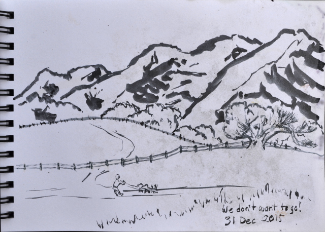
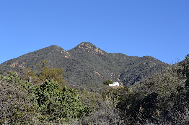
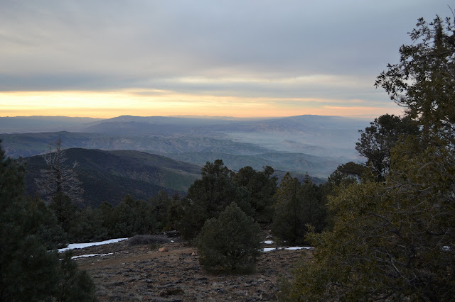
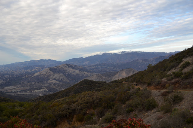
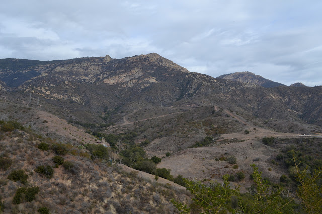
Too many big hikes or too many hikes with others, there does seem to have been a rather large break in sketches. All excuses, there should have been more. I should get back to something smaller than a super wide angle of the distant world once in a while, too. When I did finally open up the dry bag, I had a nasty surprise. Quite a lot of water had gotten in at some point. I am pretty certain when and I should not have left the bag in the pack for that incident. The old dry bag is a bit holed after the many years with various sketch books. The previous sketches are damaged. Less than I expected, more than I want. The rest will all be a bit dirty and the ink does not sit on the paper in quite the same way now that the sizing has been washed. It is a cookie, it has crumbled, and this is the way of it. I took the last day of the year to wander up to San Marcos Foothills and try out a new brush pen. These dogs walked past, more interested in looking around than moving back to the car, a

Saddle Rock

Image
Santa Barbara front country I finally stopped searching for a "light weight tripod" and tried searching for a "one pound tripod" instead and this search has yielded much better fruit. I found a backpacking light post to help me out. Well, a little. The original information is actually on a blog and the writer just links to the blog rather than the particular post that is of interest. Wherever that blog post is, I do not know, but a post about making the original tripod lighter is pretty easy to find. Not so easy to understand why it wouldn't come up with the original search. Anyway, that seems a dead end because the tripod (Giottos RT-8150) is not available anymore. On it goes. But the price on the tripod does give a clue to finding the lightest of them. They are also the cheapest. Well, compromises must be made to get the lightest, usually. I tried digging through the tripod offerings of a large online camera shop and found many at about 1.3

Twin Peaks

Image
Ojai front country After just over five miles of hiking, I was not quite ready to say I was done. It is only 2PM. Anyway, I had a plan for finishing early: check out trails on the western side of the main trail. Back so soon? Heading out along Horn Canyon again. Quickly, there is an unmarked trail to the left that shows quite a lot of use. This crosses the creek and wiggles up first unused, then used road. I was not looking for a road, so when L. Moore promises to parallel the lower trail up the canyon, I go for it. From it, there is a trail marked Twin Peaks. I am not really looking for something all the way up to the local peaks, so keep on going. L. Moore tops out at a spot marked "Parkers Corner" then clearly heads back down into the canyon. Well, there was a sign for it down there, so that makes sense. This is not what I want either, so back to the last trail and start climbing. If you want a trail, here is a trail. Getting climbing past

Thacher Canyon

Image
Ojai front country Hike along Horn Canyon and it is difficult not to notice the many trails that wander away from it, most of them with signs. They wander about a bit in loops, but where do they go? What do they see? My memory of how to get to the trail did not fail. It is easy enough, just through the gate and keep right onto some dirt, across the ford, and there are parking spots. It is Sunday and there are a few other cars. A sign at the start informs me that The Pines is closed and I should pass through with great care because so many of the trees have died but still stand. The canyon is still cool and there are a lot of people coming and going as I start up it. A short conversation with one hiker about where the trail goes has me confused as he asks, "And that's the end of the hike?" This trail connects with others and those connect with others. There is no "end" to this hike. As I am waxing poetic about the nature of trails and ends in my

San Emigdio and Brush Mountains

Image
Los Padres National Forest On one side of the San Andres Rift, Mount Pinos rises more than 8800 feet to be the highest point in Los Padres. On the other side of the rift, there seems to be a little less crumpling where the mountains only rise nearly 7500 feet. The seed of desire to go up San Emigdio Mountain was probably planted while I recorded my newly climbed Hundred Peaks Section listed peaks after I traversed from Mount Pinos to Cerro Noroeste (AKA Abel) then dropped down to the San Emigdio Mesa. Next to my new mountains was another with the same name of the mesa and I rather liked the mesa. Then I found out the mountain was not there, but on the other side of Mount Pinos and much of the desire fell away. Somewhere, a little bit of the seed remained. More recently, I was looking at some geocaches set in the area and thinking about the mountain again. There are two listed peaks in the area and San Emigdio is practically a drive up at just 0.2 miles round trip from th

Sulphur Mountain Road

Image
Ventura County Park Zooming down the 101 and then zooming down the 33, it is odd to just turn a corner and find myself facing a gate in a dark bit of canyon with very little around me. A calf on the road (on the wrong side of the gate) hints at what is to come. The gate is my starting point for a long climb a mere 2200 feet in about ten miles. This should be a better place to try out my new mountain bike. It is a bit long, but I could certainly handle it walking. It is just walking the downhill that I dread. That slow, slight downhill makes my legs want desperately to get it over with and I can definitely get out of it with the bike. Some of the information at the gate at the start. More is on a kiosk to the side. Although the overall climb might not be much, the road does seem to be making a serious start at it. A ditch down the side is full of water, which is not odd considering the recent rains. Everything is wet at the moment. Under it, the dirt is dark with

Fremont Ridge

Image
Los Padres National Forest I headed up the pass and over to Fremont Ridge to try out my new mountain bike in the late afternoon. It is pretty much a toy. I somehow overshot the gate and found myself at Knapp's Castle instead, so went high and took a few photos. It is nice to see a bit of snow out on Little Pine and some more distant, taller peaks. Makes one think there may be such a thing as winter, at least at 6000 feet and above. Just a little bit of snow up on Little Pine Mountain. Still nearly an hour to sunset, but there are colors over the ocean. More of the Santa Ynez Valley. On my second pass by the gate, I did manage to notice it and stop in the parking. Someone else stopped too, which turned out to be the present owner of the castle wanting to meet his neighbors. There are a few down there. Presented with a great opportunity to ask if we will see the castle in its splendor again soon, I completely failed to ask. There is certainly activity over t

Arroyo Burro

Image
Santa Barbara front country The rain did not start at midnight and it is still somewhat warm and sunny and I could jaunt at least a little way up the hill before the green shadow passing Lompoc on the weather map gets to here. I almost take the turn for Gibraltar Road before remembering where I am headed up by the water filtration plant. So off I go, on the still quite dry trail. The poison oak is almost entirely dormant making the picnic table in the middle of it look much more inviting. The junction to start up Arroyo Burro instead of Jesusita is still marked. There is plenty of dirt beside the steep paved road to walk on and it remains well marked, too. With the utility road section, it all seems steeper and harder than I remember. Maybe that easy slope yesterday spoiled me for this. Whatever, it does give ample opportunity to just turn around and try to take in what may be the most expansive views of the city that the trails have to offer. The cathedral sized cav

Juncal Canyon

Image
Los Padres National Forest If the gate was open, it surely would not be closed until evening and I could surely get out before that, was my thinking as I popped over the hill to find it open. There is just that little bit of road from the lake to the top that I have not seen and I am aiming to put that to right now. It should be a very easy hike, just a bit long. I get moving over the first couple miles that are virtually flat and then the climb to get higher than the dam before leveling off again. Standing on the ford of the Santa Ynez River below Juncal Dam. The mistletoe gives a bright and cheery green to the sycamores otherwise nude for winter. Looking down wide and flat canyon of the Santa Ynez River.

hikes of 2016

Image
 Juncal Canyon , Los Padres National Forest: Jan 3  Arroyo Burro Trail , Santa Barbara front country: Jan 4  Fremont Ridge , Los Padres National Forest: Jan 8

follow by email