Arcata Ridge Trail quick look
Arcata Community Forest
In the neighborhood again, so I thought I'd check on if the Arcata Ridge Trail is complete yet. The current map shows that the city owns the land, but no trail has been constructed. That was last updated in June, so there could be something more now. Anyway, it'll be partly built before it is fully built and they probably won't be updating the map for that. I have hiked the area before. (This is only the part marked with a black line in the previous hike.) The track for this hike is here, if you would like a map for this short hike. Since it is a short hike, I decided to see how Timmy would do on it and brought him.
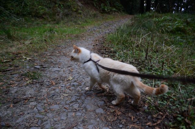
Timmy is learning this new walking trails trick at the age of 19. He has gotten to be a lot less timid over the years, but meeting people on trail is still not something he handles well. Luckily, he is easy to hold and he can handle bicycles and runners when he is in my arms. Most of the route has a choice of road or trail to follow up and we mostly took the trail. Usually this would be the short route but in this case it is the long way. But that is fine, because we are experimenting. He walks along trails pretty well. He doesn't do switchbacks so well. He tries to continue on his way instead of making the turn, but with a few hints he's off again in the right direction. He also tends to want to turn back after a certain distance. His usual exploration is to go out a bit and come back, getting to really know that area before going out further. This point to point thing is a little unnatural for him. We stopped halfway up for food and water and he only drank. He walked most of the mile or so up were we found, well, not a lot.
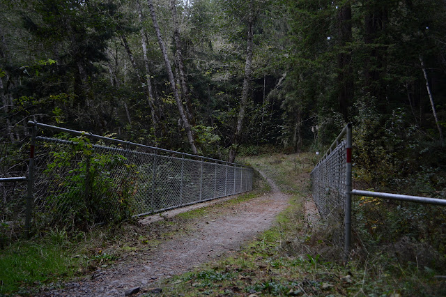
The same sign still marks the future home of the ridge trail, but there is no ridge trail. There is not even a bit of a cut line for where it will be built more elaborately. It definitely does not yet go through. The map does show trail built on the other side up to the road, so I'll have to have a look at the other side at some point. It is possible to get up to the road by continuing along the abandoned road and some use trails, but it gets a little iffy (or it did a little over a year ago) toward the end. We stopped again for food and water and he ate a bit this time. I did too.

Then we headed back down. This time we hit the road where we'd done the trail and the little bit of trail that we missed doing a little bit of road past the water tank.

We didn't meet any dogs on the way although they are quite common in this area. They are required to be leashed (which means Timmy is also required to be even if he isn't a dog) but there are a few folks who are sure that doesn't apply to them. He only did about half the way down again and he still wanted to turn around and get to know the area a little better a few times. It is just his way.
©2018 Valerie Norton
Posted 19 November 2018
Liked this? Interesting? Click the three bars at the top left for the menu to read more or subscribe!


Comments