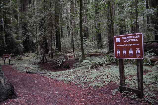
Rockefeller Loop
Humboldt Redwoods State Park
Click for map in new tab.
I stopped at the Rockefeller Grove intending to travel a bit of the River Trail until I felt like turning around. Well, I missed the narrow steep bit of road that looked like it might not even be paved and stopped a little further down the road, but close enough. Turns out the road is paved down to the parking, although very narrow. I pick a direction at random for the loop. One is surely as good as another.

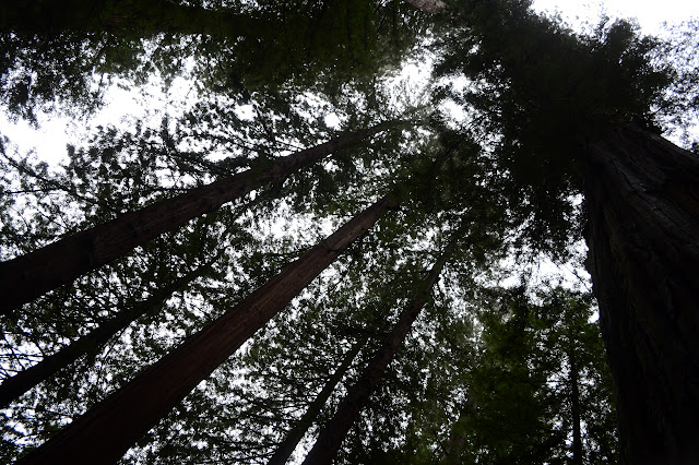
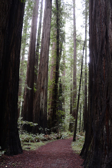
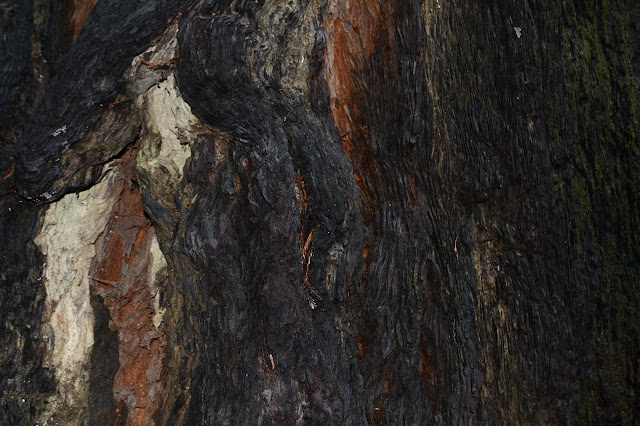
The trees are pretty big. None of them quite rivals the Big Tree at Big Trees just a couple miles up the creek, but that was a particularly impressive specimen. The overcast of the day is all sorts of gloom, but it seems to be higher than the trees, so the tops are only lost in their height, not the clouds.


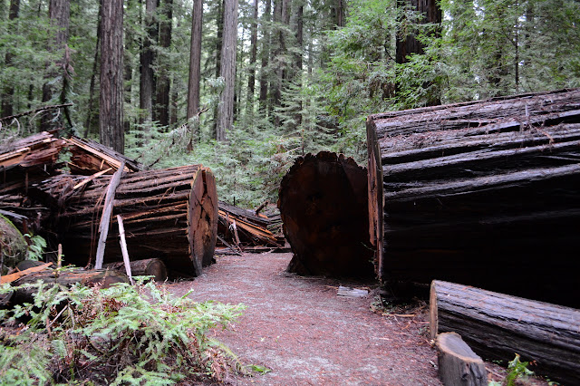
The bridge has been put away for the season, but I knew that already. Well, I suspected it. I follow a trail beside the creek for a bit wondering where I get to the crossing before realizing this body of water that is a fair bit bigger than it was a couple miles up and a few weeks ago is the creek and the taken up bridge was the crossing I was looking for.

Back to examine the crossing, the creek is not the little thing I could cross on a few built up rocks that I did before and higher up. There are crossing opportunities of sorts. Two trees cross most of the creek to an island that is easy to get to while one tree crosses it all in a broken mess. All these bridges of sorts look to have had people walking on them. The broken mess looks like the most reliable, especially as it isn't floating in the air on this side. It just has a bit of slope on the far side. The branches do not look to be much of a challenge.


As I look across the broken mess, it turns out I just don't want it enough. I will just have to settle for bathing in the bigness of the trees of the named grove. I head back along the other side of the loop.


Back at the trailhead is a sign with a map. Between the high fog, now almost burned off, the trees, and the roof over the kiosk, it is too dark to see without a flashlight. I examine the other bridges on the river that might allow me access to the river trail. They are all marked as red seasonal bridges. There is no other designation for bridges in the legend anyway. This will just have to have been enough wandering under the big trees for a while.
©2018 Valerie Norton
Posted 24 December 2018
Liked this? Interesting? Click the three bars at the top left for the menu to read more or subscribe!


Comments