Tunnel Flat and down to Trinity River
Six Rivers National Forest
Click for map.
There seem to be almost no hiking opportunities near 299 as it passes through Six Rivers National Forest. There is a trail way at the end of South Fork Road and then one at the end of Denny Road. That second one is actually in Shasta-Trinity National Forest though. You're supposed to come here to raft. There is also a point marked on the visitor map high on Hennessy Ridge that says "World's largest tan oak" and a rest area with mysterious trails in the back just 0.9 miles from it. It is also 1500 feet, give or take, up. If they don't have a trail up to the tan oak from the highway, I feel like they have missed a trick, but it would be reasonable to expect it to be marked if they do. Anyway, I am going to see where these trails go.

It doesn't take long to find where the trail goes. It goes to the highway again. There is a road above the trail and a spur climbs up to it, but it just goes to the highway a little further up the road. There is an old fuel break climbing steeply between the trees with a use trail up it. I wouldn't believe it was one, but someone has dug trenches across it to reduce erosion. It is so narrow, the trees touch above, but I guess if a fire were in the crown, a little bit of separation isn't likely to hinder it much. The trail is hard to follow up and just comes to some abandoned belongings. They look like the abandonment was not voluntary. Above that, there is a choose your own adventure of game trails, but I am not so sure I really want to do that for 1500 feet up, give or take. I am sure I could eventually, but I could just drive up instead. It does feel a little wasteful to drive 10-15 miles to get 0.9 miles away, but cold and clouds are sitting on the ridge I would be climbing to and other excuses.


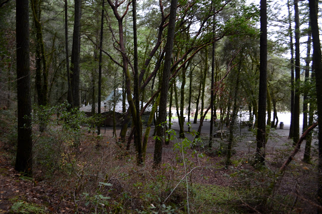
The tantalizing sign across the highway for "Tunnel Flat" seems more attractive. I wonder why it is called that. It says river access, so there will be a bit of elevation to climb out. The access road comes to a nice parking lot with trailer turn around and a gate across more road. The river is far below and quite near on both sides. It is a bit further on the left. The road just keeps on finding a place to go forward and not all that steeply.


The road ends without so much as a turn around area for a car. There were a couple spots not too far back that would serve. Much narrower trail continues off the end.

The trail is good at first as it finally starts climbing down toward the river instead of just drifting downward toward the point. Down below, there are some big pools that would be attractive in warmer weather. Ripples in certain spots show a strong current that hides in these apparently serene spots.


Near the bottom, the trail has suffered a slide of rock. There are a few ways people have found past it. I think a lower one looks the most stable. People have also dropped down to the river before the slide. That is only attractive if I am trying to find the fastest way to getting into the water.

The reward for crossing the slide is a rocky beach. The rocks are particularly smooth and I suspect it gets covered with water, at least as high as the rose bushes. The roses are full of such large hips that I find myself questioning if they are roses. They seem to have something isomorphic to thorns. I follow the beach along downstream and then up on the rocks again to see if I can spot this tunnel. The ducks run off and take flight, but a bald eagle alights into the water like another duck before climbing out onto a beach on the far side. It is rather a surprising sight.

As far around as I can get to have a look, there is no tunnel. Well, as far without getting into the water. It's cold for that. Anyway, a tunnel doesn't have to go all the way through. I head back, but see no good way to climb over to the other side to check for a tunnel. It does seem the more likely spot to find one. One day the river will break through and leave this long meander high. No more knowledgeable, I head back up and back across the highway to the rest area, the car, and the second way to see the world's largest tan oak.
©2018 Valerie Norton
Posted 7 December 2018
Liked this? Interesting? Click the three bars at the top left for the menu to read more or subscribe!


Comments