Ladybug Peak - the short way
Coronado National Forest
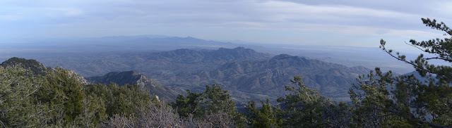
Click for map.
With a little bit of time and having been able to download information for the local geocaches, I decided to pop up Ladybug Peak again, this time the very easy way. The road passes through a saddle just below it and Bear Canyon Trail climbs just half a mile to its top from there. I missed three geocaches because I hadn't downloaded them prior to coming to the forest, but one is on the top. Admittedly, it looks like I should have found it while I was looking for the register, but it is so short that I may as well go for it. And I have this feeling I'll finish Ladybug Trail although I actually already did that when I got to where it ends in Bear Canyon Trail.

The trail climbs to what looks like a junction in just a few feet. All signs point right, so whatever continues left is unknown. One sign says 6.5 to Angle Orchard, which I think is more correct than the 6 it claims at the other end. The other, newer, one says 6.0 to highway 266, which is another 1/4 mile further than the orchard, so even more wrong. It makes no difference to me today since I am just popping up to the peak. The geocache description warns about the next switchback where people have missed. All the switchbacks here in the forest have animal trails going off the end as one might expect, but this one now has quite a pile of debris purposely placed on the end, so there might have been some problems with it. I wind upward.
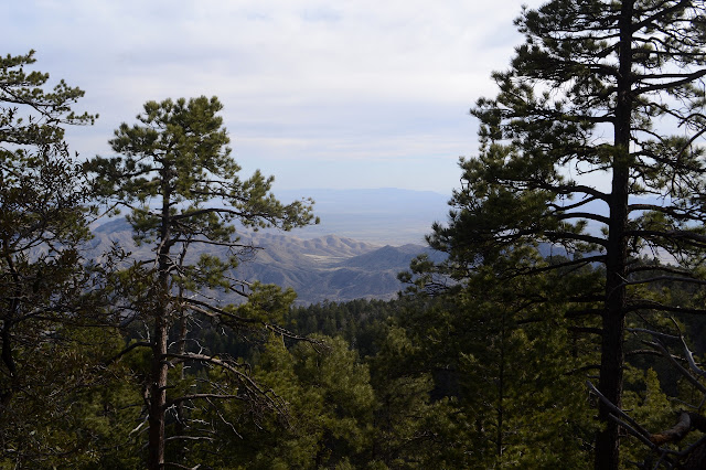
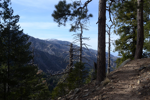
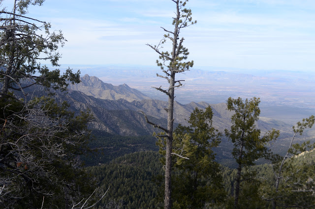
There seems to be a lot of extra trail on the way, but the right way is well traveled and easy to pick out. I wonder what all the other bits are for. It seems to just split at the peak. There are more footsteps across the other bit of snow now, probably from the other car at the trailhead which has been there all day. Good to see there are others not afraid of a little snow. I head up the last bit, now knowing where to go to get to the top. While it is short, at least it is all climb. Some peaks one ends up going down to when taking the easy way and that really doesn't feel like a peak.


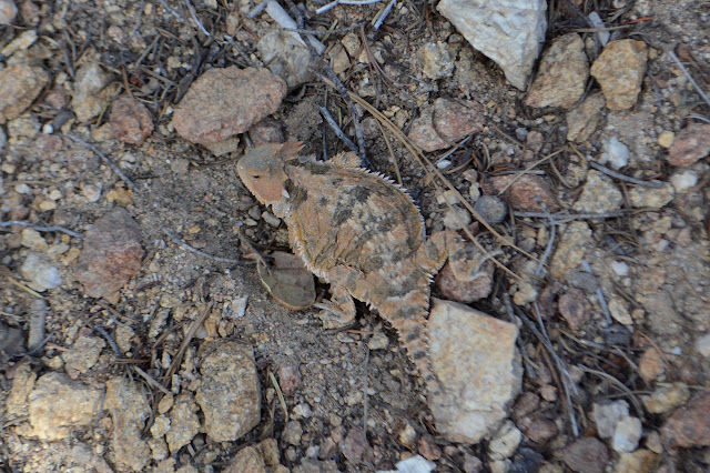
After failing to find the geocache again, I head back down the short trail. As short as it is, there are still some fresh trees down to hop over. Other than that and tiny bits of snow, there is nothing to slow me down. Well, maybe the occasional viewpoint.
©2019 Valerie Norton
Written 19 April 2019
Liked this? Interesting? Click the three bars at the top left for the menu to read more or subscribe!


Comments
Also what is the best time to see the festation of Ladybugs?