Junction Creek Colorado Trail
San Juan National Forest
Click for map.
In spite of seeming like a worthy trail to hike end to end, my actual knowledge of the Colorado Trail seems to be certainty that it goes through Breckenridge, where I've chatted with a few hikers on their first resupply after a week on trail, and a general thought that it might have one end sort of near Denver and another kind of near Durango. Well, here I am basically in Durango, so it must be around here somewhere. These very last (according to the direction most people hike it) miles of the trail seem to have their own names. The finish is Junction Creek, which comes after a short Sliderock section, which comes after some Highline. I was tempted to start at the parking a mile up, but decided out of some misplaced desire for completeness to start at the bitter end. The lot is large and nearly full. Someone has left a cooler for the hikers that has collected some camping gear beside it. I wonder what they've stuck in there for celebrating the finish? Beer, probably. The trail is wide, but after crossing a ditch on a little bridge, canyon and trail narrow down quickly. It is high and dark and cool on a day that was already warming.


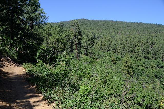
The entry a mile up has more signs to explain the CT and someone coming up behind me saying, "This is where [so-and-so] got off. You can see how she might have mistaken it and missed the last bit." Actually, I really can. The trail down looks like some use trail to the creek from here and only a small, easily missed sign shows there's a little more official trail rather than just this smaller parking lot. The trail goes high and stays high for a while and I think it might be time to flatten out some spots sloping out toward the cliff. And here I was expecting it to cross the creek.

So it drops a little and the creek comes up and suddenly, there is the crossing on a nice big bridge. More trail keeps on following the creek up. Strangely, the OpenStreetMap with all its extra trails marked just up the hill from here doesn't mark this one, which looks well used. I might have to try it, but today should come out around 16 miles, so I think I'll leave it to later. See how I feel then.

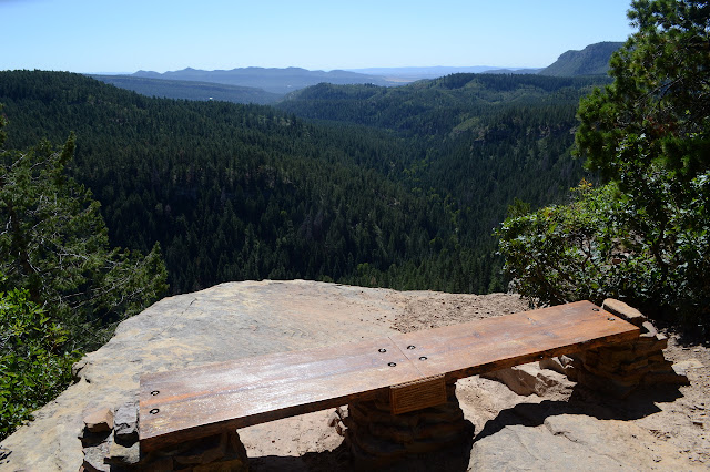
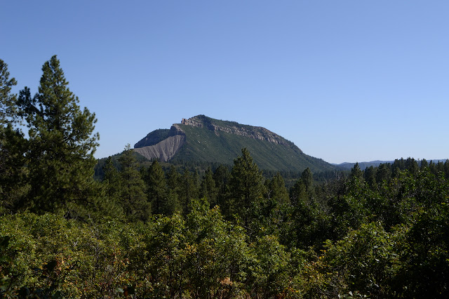
Once across, it's a climb up the other side. I can see little views here and there. I keep trying to see a mountain to the south a little better, but never quite make it until the very top. A bench with dedication to "Gudy Gaskill, mother of the Colorado Trail" await me to make the view spot even easier to take advantage of.


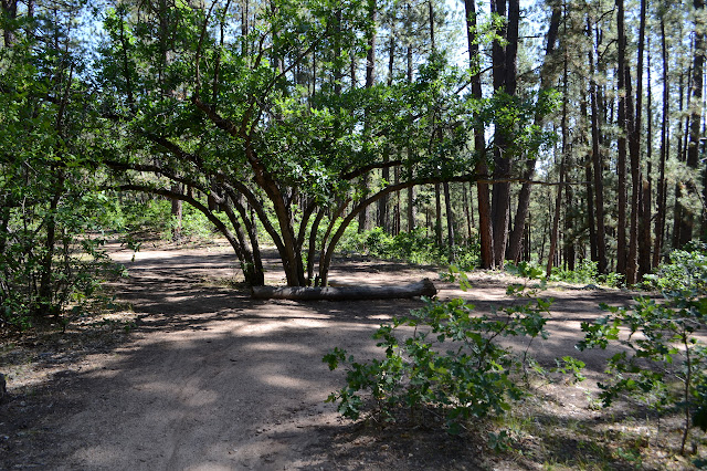
My plan is to make a loop that starts just a little past here, so it is good to see a sign and a well established trail as I am expecting an intersection. For now, I am sticking to the CT. A little further on is a piped spring muddled by cows. I see none of them, but they've signed their work. Their big, two-toed hoof prints are hard to miss. On I go, through forest that is primarily live, if a little on the young and small side.

Seeing firefighters in full regalia tends to make me worry. Seeing only three makes me confused. I thought they go around in bigger groups than that. As one reaches down and crumbles something, there is a strong smell of smoke. Probably on Saturday, there was a standing dead tree here. Lightning was striking very close to here then. I listened to it sometimes just one count away when I was just on the other side of this canyon. (Even Timmy notices it when the boom comes from a quarter mile off. He's surprisingly calm for anything further.) Now there are the fallen and smoldering remains and the firefighters are on the job. I'm still nervous, but it didn't catch anything else all Sunday. Still, it certainly does feel like a drying day today.


The second junction for the loop is also signed and well established. Good news for me trying to make the loop. I think I've seen about 8 people finishing their trek on the trail, but haven't actually asked them, so perhaps not. There have also been a lot of bikes and two more are coming up where I'm going down.

I turn down Dry Fork Trail, which clearly used to be a road. There is even an old gate on it, and, where it splits, another gate on the other one. Signs point out the way of the trail at the junctions with things let go. If I look carefully, there are more faint roads from when the area was logged. The char on the little trees shows why there aren't stumps. The downhill is so gentle, it is not surprising that there are a few more bikes coming up it. This must be a very popular loop for mountain bikes and I'm going the wrong way. The sudden sound of a tire bouncing wildly and stopping behind me says some of the bikes are going the wrong way, too. Nobody here has bells.

The junction away from the CT hasn't been signed quite so nicely. An old wooden sign marks Dry Fork, but my route on Hoffheins Connection is a blank post. I watch a bike zip past down the hill at a rather unsafe speed, but that is just the way it will be. No bells to alert and no expectations of others even though I do see one set of shoe prints in the dust so marked with tires. I am not the only one.
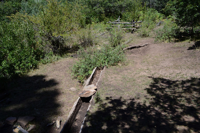
Guessing from the map, my best chance of seeing water other than Junction Creek is just past the junction. Even with the rain the last two days, the fork of creek is absolutely dry. I guess it really is Dry Fork here. There's more sun on the climb than there was on the descent. Perhaps that is why the bicycles like the other direction. I get better views of the local peaks. I wasn't expected that of the lower trail.

There are still enough trees to not get too hot on the climb. It ends before I expect it. Now I have 4 miles to retrace back to the bitter end of the CT meeting yet more bikes on the way.


I am just in time to hit the masses who have come to the trail from work. This includes a group of more than a dozen mountain bikes chatting away in at least five clumps. When the last says he is last, I can't help but show my relief.


And now I have had my first steps on the CT. Just 98.6% left to go.
©2019 Valerie Norton
Written 19 Sep 2019
Liked this? Interesting? Click the three bars at the top left for the menu to read more or subscribe!


Comments