North Fork Mule Canyon
Bears Ears National Monument
Click for map.
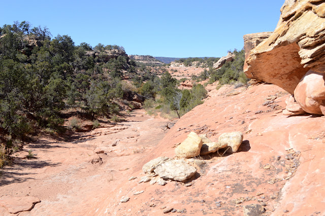
The "101 Ways to Experience San Juan County, Utah" brochure seemed to think that while going up the south fork for a mile was a can't miss, anyone spending more time in Mule Canyon would be rewarded for their effort, so today I'll try the north fork. I would have done it just after the south fork except for the whole losing my lens thing. While my hiking permit ($5 per person per week which can not be covered by an America the Beautiful pass) is still valid, I'll get in this one last hike in the covered area. There is a parking area just short of the bridge and it barely has enough space for me to squeeze in. Trail is marked on the other side of the road to go up the canyon, which isn't much more than a shallow ditch here.

I take a moment to find the benchmark on the far side of the bridge since that's how I roll, then start following the trail up. There are spots of water, huge rose hips, and ruins along the way. Well, at least the last little bit of a corner still standing in a sheltered rock separated from the canyon wall. There will be more. More water and more ruins and even more rose hips. Some of the water is still frozen. It got to 13°F in the campground last night and Timmy's water bowl froze for the first time in his 20 years.


A group coming down the canyon asks that same ruin that everyone seems to be looking for. Yes, I do. Back toward the pay stand and park where everyone else is parking. You can't miss it, unless you come up the wrong canyon. The second group asks if I'm looking for that same ruin... Nope, already been there.

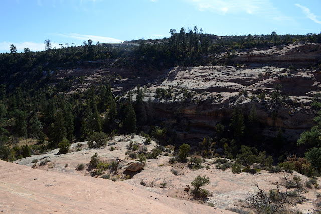
The canyon grows and I get to following the "sidewalks" along the edge. This can get me in trouble as they go up faster than the floor and sometimes there's no way down. Still, it's fun and the perspective is grand.


The third group says nothing, but the last of the fourth asks about that very same ruin. Other canyon. Should I have told the third group too? He says they asked everyone coming up with them and were assured they were in the right canyon. So probably. He adds that there is a good ruin coming up. There usually is. He didn't know there's more below. They missed all those.


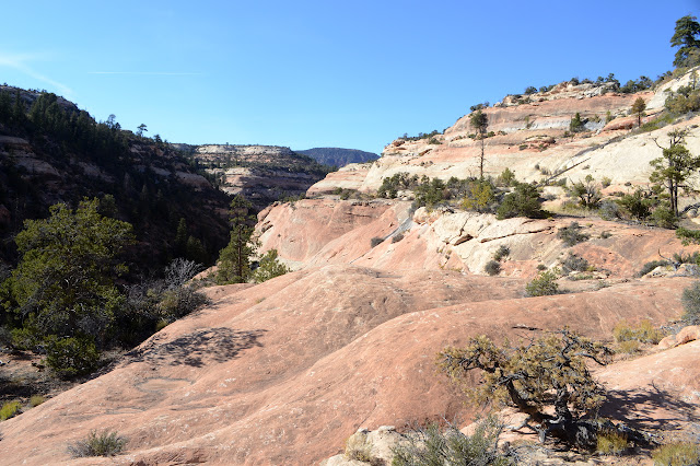
Actually, there's a particularly good ruin way up the canyon. I might not have gotten as far as it had I come up here after doing the south fork. I'm sure part of it being in such good shape is that it is unreachable today, at least by any obvious path. Educating people against touching or walking too close or going inside helps, but not quite as much as a smooth cliff. The canyon ain't bad either. It's getting particularly big.


I continue a little further, but seem to go about four miles down these things and I'm feeling like there couldn't be anything to top what I've found, so poke around canyons a little more and turn back.
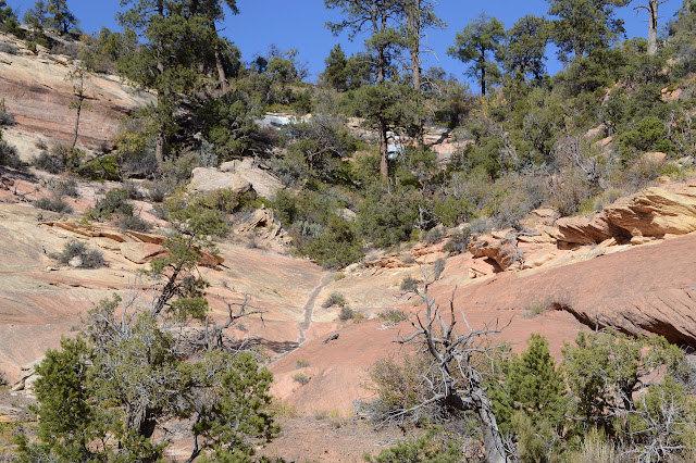
I stick better to the bottom of the canyon on my way down. It looks like I missed some on the way up, too. My, but there are a lot of things to see in this canyon.

So much good stuff. Did those people (Every single one!) coming down the wrong canyon know how lucky they were? Well, the last group seemed to at least realize they weren't unlucky. Somewhere along this canyon, I might have seen:
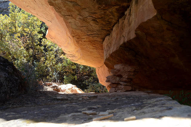
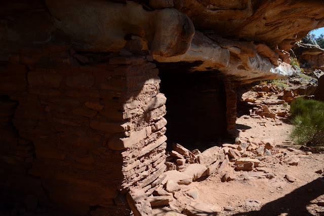


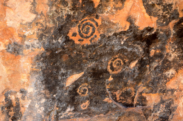
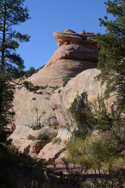
*photo album*
©2019 Valerie Norton
Written 17 Nov 2019
Liked this? Interesting? Click the three bars at the top left for the menu to read more or subscribe!


Comments