Ancestral Peubloan ruins of Wupatki
Wupatki National Monument
Since I am in the neighborhood zooming around a loop road, I stopped to visit the sites of Wupatki National Monument as well. The entry fee is usually $25, which gets one into Sunset National Monument as well, but today is the last of the year's five fee free days. It is a gamble that there may be crowds. Wupatki National Monument is quite a bit larger than Sunset Crater, but also bans any sort of off trail travel, so I am limited to just a few short trails for my visit. These all go to the well preserved ruins whose protection is the purpose of the monument.
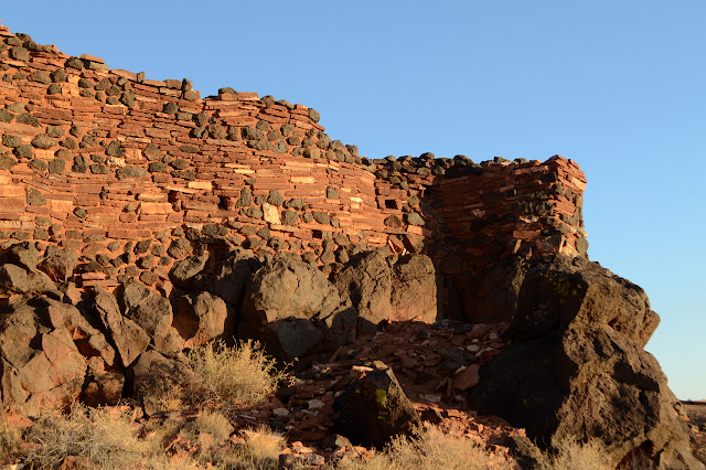
Wukoki (Big House)
Click for map.

The first ruin along when coming from Sunset Crater is Wukoki. This is off a spur road from the main loop. It is a very different experience from the ruins I have been visiting. Here a staircase has been cut to bring everyone right into the ruin and allowing them to wander the rooms and courtyard area. It's a rather disconcerting thing to watch as some dad stoops not quite far enough to get through a low doorway, scarping those few sand grains off the bottom of a supporting stone. How many times does that happen a day? Eventually it will wear thin. I refrain from touching anything and stay aware enough not to do so accidentally. I can attempt to visit with the least impact even if others do not.
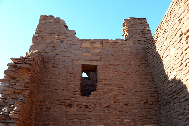

I still can't help but want to stand inside that tall room and look up.

Trail also travels around the bottom of the rock so that one may look at it from all sides from below.


Wupatki
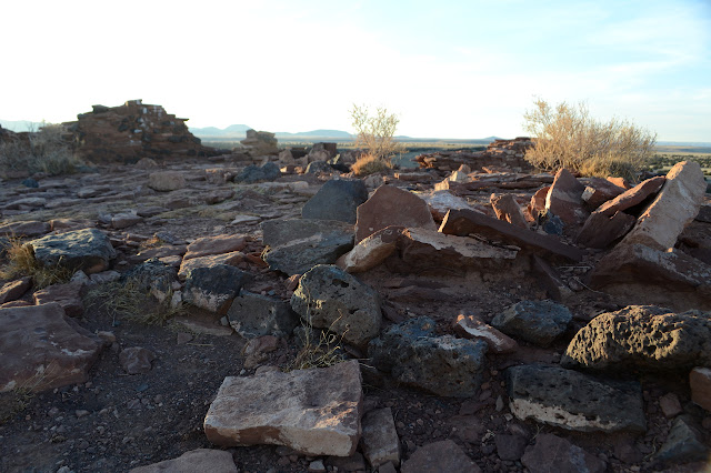
Next along the road is Wupatki, which is just behind the visitor center. This is a truly extensive ruin. This city is so large, it even has a convention hall and sports arena! Well, from a certain point of view. The visitor center has booklets to go with the numbers around the area for a self guided tour and signs for a quicker tour. This one is not quite so much a free for all with one area that people may enter while everything else is marked against entry. Artifacts are on display in some of the rooms, although in a variety that makes it obvious they are placed rather than left.


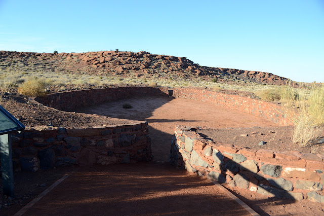
Beside the ball court is an interesting natural phenomenon: a blow hole. It is a small opening to what must be a vast space, although perhaps not one that can be traveled. As the outside pressure falls, it blows outward and as the pressure rises, it blows inward trying to equalize. I try to get a picture of my hat floating for the earth cache, but the breath of the earth is just a little light today and my hat extremely lopsided, so it rises an inch or two, then falls to the side and settles again.

Then I head back up and around the other side of the buildings. The upper level still seems a crazy extravaganza. They say there were 100 rooms here, but how can they really be sure what all was stacked up here? Especially with the way it wraps around and incorporates the rocks.


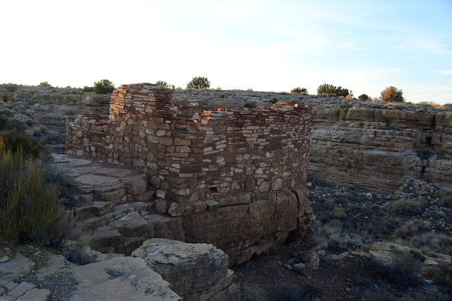
Citadel and Nalakihu (Lone House)
These two neighboring communities are the briefest walk from the road and from each other. Nalakihu is a row of rooms level with much of the prairie while the Citadel sits atop an igneous outcrop that has resisted weathering to remain high above the plain. It has also resisted the giant sink hole on the far side of it from Nalakihu.
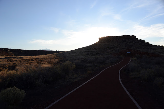


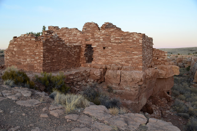
Box Canyon and Lomaki (Beautiful House)
The day is getting late, but there is just one more site left to see. Box Canyon is a pair of ruins that sit on either side of a small box canyon. Lomaki is a little further along the trail next to another earth crack. They are over 800 years old.


I'm back to the car as the sunset becomes official. Just in time. These are only open from sunrise to sunset. I'm glad I stopped for these new and different ruins and the fee free day wasn't too crowded.
©2019 Valerie Norton
Written 20 Dec 2019
Liked this? Interesting? Click the three bars at the top left for the menu to read more or subscribe!


Comments