Circle Benchmark
Kaibab National Forest
Click for map.
The weatherman was promising a day of possible rain followed by another of definite snow. I scuttled off and stopped 700 feet below the predicted snow level while the snowplows were mobilizing into position to be useful. I'm not sure how my position might be useful, but I'll at least get the nearby benchmark. I'd like to go up Bill Williams Mountain, but that's 10 miles back and 2700 feet above predicted snowline. And how did getting below the snow work? Well, when the sun went down, the rain turned to snow. Not as much as there will be for the second wave of storm, which will be a blanket of a few inches, but it's sticking a little.

There's a road of sorts heading up my way, but it is just someone's camp site. It hasn't been used much and the dirt isn't compacted enough to make walking through the mud any easier. The mud here is very friendly and enthusiastic to come with me. I walked across this dirt a little when it was still dry and found that although it compacted under my feet a little, it was steady. Now it compacts a lot and some steps are uncertain. I have more rocks away from the road and they make for better footing, so I'm not sad to see the road end.


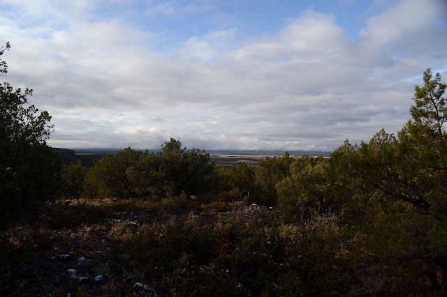
So I wander into the morning sun through the juniper to the top. Plenty of room between them. Some small structure once stood near the top. Past it, there is the benchmark, perched on a small rise of volcanic rocks with half a grand view. They do tend to like to put these things such that there is a view.


I swing to the south on my way back down. Somewhere on this wide, low hill there must be a view that way and maybe something better looking west as well.


©2019 Valerie Norton
Written 24 Dec 2019
Liked this? Interesting? Click the three bars at the top left for the menu to read more or subscribe!


Comments