Old Caves Crater
Coconino National Forest
Click for map.
Old Caves Crater boasts a different sort of ruin, from people who made their homes among the small "caves" of gas bubbles in the old lava rocks. Unfortunately, some of the different character of this one is "heavily disturbed", as the kiosk at the start warns me. This was the last known Sinagua settlement in the area, but there are a couple more "excavation-quarry settlements" like this one in the area to the east. Anyway, it's a short trail, so no harm in going to see. I'll tag the peak, too. The settlement is quite close to the top.
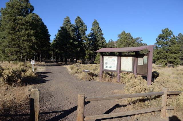
It's a wide path through the cinders surrounded by ponderosa. There seem to be quite a few extra paths as well. It's generally clear which is the official one. There are signs for the loop around the bottom to the west and later the one to the east. I follow the arrow for the crater summit rather than the loop.

The climb is gradual at first, but then gets going in some long switchbacks. Never particularly steep, but it'll make you work a little.
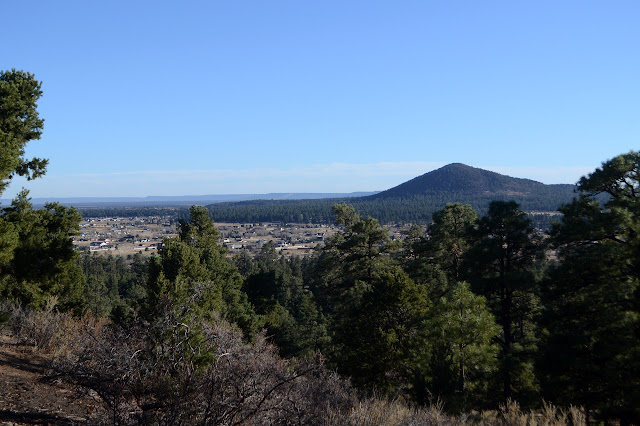

Near the top, I am struck by how completely the juniper have taken over leaving almost no ponderosa. This is particularly odd because the ponderosa are the ones that usually take over in the higher elevations. The rocks are undoubtedly to blame and they are changing too.

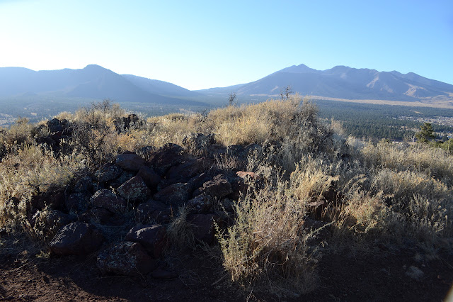
There is no sign to point out the junction near the top of the crater. I go right to get out onto the shoulder where the settlement once was. There is nearly nothing left of the walls of the 30-40 rooms that were once up here according to the sign below.

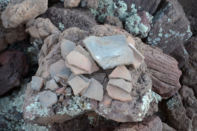
The lack of walls doesn't mean there's nothing to see here. There are still the caves and tunnels. I don't see it at first, but after looking through a few caves I finally notice that the tunnels are all very regular. The scramble through would have been a belly crawl, but they have definitely been cut that big. They aren't natural.


Then I head up to tag the peak. It's not all that much higher.

I had planned to go over the top and come back along the eastern side of the loop trail, but notice there's supposed to be a benchmark on the shoulder with the caves. I head back and spend some time wondering what a "4x4x4 foot vertical cave" might be. I can't find it or the benchmark that is a certain distance from it. Then I head down the way I came and explore a little of the unofficial trails around the bottom.


©2019 Valerie Norton
Written 23 Dec 2019
Liked this? Interesting? Click the three bars at the top left for the menu to read more or subscribe!


Comments