Chamberlain Waterfall Trail
Jackson State Demonstration Forest
Click for map.
I heard there was a cute little waterfall and decided to go see it. Many of the roads in Jackson State Demonstration Forest are closed this time of year due to the wet, but the one to the waterfall is not. Signs for the various roads come after making a turn to give confirmation, but no direction. My offline OpenStreetMap shows a pair of roads getting where I want. I found a rather nice map at a picnic area showing the roads properly so that I knew which to turn up to get to the waterfall and which would get me to Chamberlain Creek Conservation Camp (AKA "the prison"). Besides the waterfall, the area also boasts some old growth within this working forest. I found the parking area empty of cars so should get to have it all to myself.

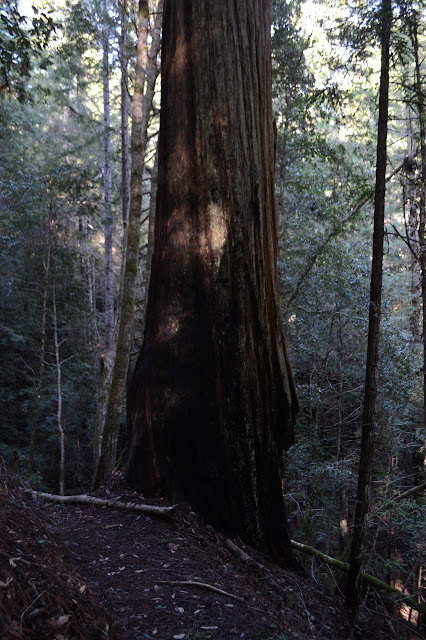
Wooden railing is all that marks the trail from the road, but once starting down it, there's a nicely painted sign. Confirmation for those already in the know, just like with the roads. I head down the steps and wiggles to quickly loose some elevation. The trees here are small and numerous. This is not yet the old growth. It gets a little steeper and that starts up. The trees were protected by the small canyon area which made them too difficult to harvest with the technology of the time when the rest were vanishing.


The waterfall has a look of a big choke stone sitting in the canyon. This time of year, it should be flowing much more heavily. It is still a pretty little thing.


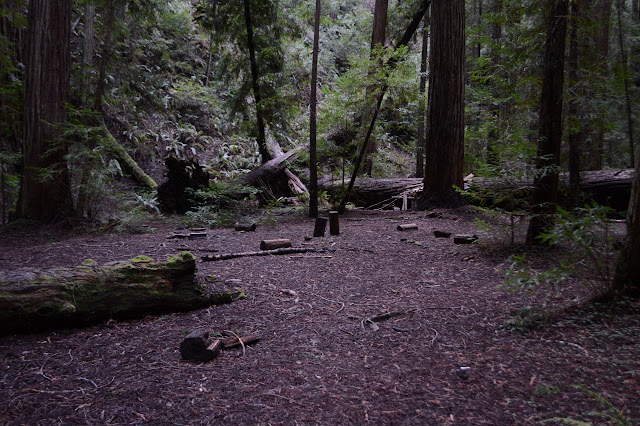
The map showed the trail wandering around a little bit and returning to the road. Finding where it continues after crossing the creek below the waterfall is not so hard. This gets me in among some bigger trees, but I'm not so sure they are old growth. It certainly doesn't have the openness of larger old growth areas. There is an open area in the bottom of the canyon, so there is some openness.


The trail up is sometimes very steep as it switches upward. It winds through thick forest before coming once more to Chamberlain Creek, crossing, and climbing some more.


Markings for the trail on the far side are easier to see. It is at a road junction, which probably increases the chance of finding the spot. Currently, the roads going right and left are blocked, but there is somewhere to continue to over the top.

I head down the road back to the car, but once back decide I should have one more look. It's very short from this side after all.


Then I head back. I still need to find camp and, while they don't mention it anywhere for the passer-by who was really trying to go to Mendocino National Forest except that takes 4WD, there is no dispersed camping in the state forest.
©2020 Valerie Norton
Written 25 Feb 2020
Liked this? Interesting? Click the three bars at the top left for the menu to read more or subscribe!


Comments