Hammond Trail to Clam Beach and the mouth of the Mad River
Clam Beach County Park
Click for map.
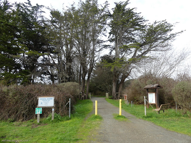
Back to the Hammond Trail on the end of Letz Road from (almost) where I ended the week before. Letz Road represents a road walk portion of the trail. Since it only goes to a few houses above the cliffs, it does not have a great amount of use. The trail parking is found at the north end by an information sign. I came equipped with an already downloaded Redwood EdVenture Quest brochure for the new bike quest.
I walked into the trees. A trail branches quickly to the left for a lookout point among them. A little further down is a lookout point accessed from the freeway. It was parked up from end to end when I arrived and I'd already seen about six people using the trail. There's a bit more visibility by the parking since there's a lot less tree.


I headed down the hill making the stops indicated by the quest brochure. Answering the questions for it served to emphasize that Strawberry Rock, seen in the distance, is an old sea stack as described on one of the signs along the way. I'd really like to hike to Strawberry Rock! At the bottom, I passed by grassy sand dunes with willows collecting in the dips.


Then I arrived at the end of the quest and Hammond Trail, for now, at the Clam Beach parking. People can continue along the road now, and later there will be a connector trail over Little River to Scenic Drive. The other end of the lot has trail to the beach. I knew I should go down the road a little way to take one of the drier trails there, but I decided to try the planking. Some of them are sinking and planks are coming off, but I managed to get along it without any soggy socks. It did take a little jump at one point.


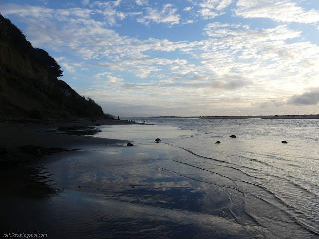
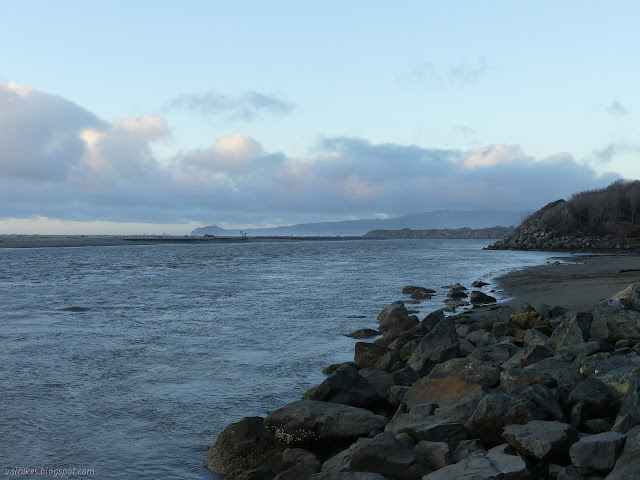
I turned to return along the beach. The tide was way out.

It was extraordinary how much wood had gathered around the end of Little Strawberry Creek. I'm not sure how things so large could have come through the passage under the freeway for it. It must have been shoved up from the ocean, even if it didn't seem to be climbing the dunes very far. I had to pull my shoes off to cross it. It was halfway to my knees.


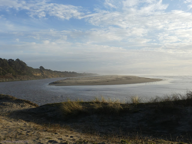
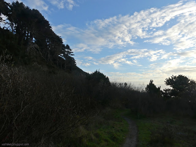
I got near the end of the beach as defined by the river. I thought briefly about crossing it, but it was disturbing enough crossing the creek. I couldn't tell how deep it was as I went. I found a trail up into and along the edge of the dunes instead.

I followed my way around the edge of the river. The trail looks like it follows a road built on fill. It's a pretty good trail with lots of room (and lots of cuttings from making that room). It ends on a beach, although if one is willing to step carefully along the rocks, there's another long beach (at least at low tide) to continue along.


There is a very steep, bad erosion causing sort of trail scrambling up from the beach. I felt no need to take it. I did start out over the rocks a little before deciding I didn't really want to do that either.
The sun was setting as I made my way up the hill and past the lookout. It was still parked end to end with cars, now mostly with people huddled against the wind watching the sunset.

I got back to the trailhead to find it was getting rather parked up, too. The whole area is probably the most populated spot I've been in a long time. It's really nice, but it does follow along beside the freeway. The waves drowned it out, but along the spur of the river was the only place the traffic noise could be said to be gone. I took pleasure in the relative quiet and could even hear birds along that section.
©2021 Valerie Norton
Written 18 Feb 2021
Liked this? Interesting? Click the three bars at the top left for the menu to read more or subscribe!


Comments