Ma-le'l Dunes, south and north, for the wallflowers
Arcata Field Office BLM
Humboldt Bay National Wildlife Refuge
(map link)
The wallflowers are blooming and maybe it's time to make a wander over the Ma-le'l Dunes once more. We spotted them on the way to pulling the invasive marram grass last week, little yellow pompoms in a large depression and spotting a few other places in the dunes. Since I seem to be using flowers as motivation to document a place again, the critically endangered Erysimum menziesii, Menzies' Wallflower, was as good an excuse as any. It really is just an excuse. I wanted to wander the dunes. Beware. There has been some rabies found in grey foxes in the northern dunes.

I like the forest portions of the trails here, so I headed past a rabies warning on a less obvious trail that climbs up the old dunes hosting the trees. It follows a long and narrow crest between valleys of surprising depth considering the substance of it all is sand.


The trail leaves the trees to drop in a broad ramp of sand. Wallflowers can be found at the edges. I followed ramp and then narrower trail down to the beach near where the most recent destruction of invasive marram grass has been. The trouble with participating in such things is that now the waving grasses are no longer pretty. They are choking out the native plants. There will be loads of flowers in the coming months, but only a struggling few can be found among the marram grasses and then only if you look hard enough.


There's not a lot of other flowers yet. Oddly, it's miner's lettuce that I find tucked onto the sides of little dunes that is blooming. Are these really so wet?


It's not all that long from where the last trail exits the south dunes to where the first trail enters the north dunes. As part of the wildlife refuge, there's no dogs or horses allowed on this part.


Finding the path is easy in the foredunes and wetlands, but not so easy across the sand. You've got to look for the posts with red markers at the top and they seem to be fewer each time.

From the top of the dunes, trail is impossible to miss. I dropped down to the old railroad grade and followed it out to the now end.


Then I turned back to wind through the trails among the trees between slough and dunes. The dunes are in a slow motion collision with the trees since a large earthquake hundreds of years ago, according to the interpretive signs along the trail. It is the same high wall of sand rising above some less healthy trees that is visible along these trails. I take them all to take in natures slow but inevitable fury.


All the trails just means going along a second spur trail. It ends at a red puddle that is Iron Creek. It pours out of the sand dune area and it is hard to understand where all the water comes from.

There's a few more flowers than just the wallflowers and the miners lettuce, although the rest are just getting started. I found a few of what will be more numerous later.


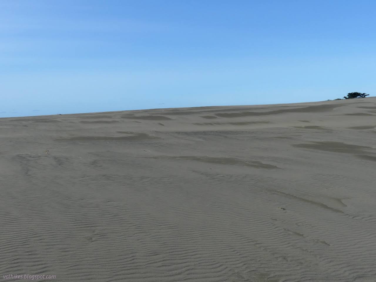
Then I crossed the mighty dunes once more. As usual, I went off in not quite the right direction to meet the trail on the far side. It is a mighty adventure, traveling this vast expanse of featureless sand!


I turned for a much longer walk along the beach back to the southern part of the dunes and the more direct walk inland from the beach to the parking lot. It's harder to see the signs for the trails along here, but many more feet make the spaces easier to find and there are no seemingly empty large dunes.


I dropped the little bit of trash I had found along the beach into the trash can and headed out on my way, happy to have wandered over the dunes once more.
*Ma-le'l Dunes album*
©2023 Valerie Norton
Written 29 Mar 2023
Liked this? Interesting? Click the three bars at the top left for the menu to read more or subscribe!


Comments