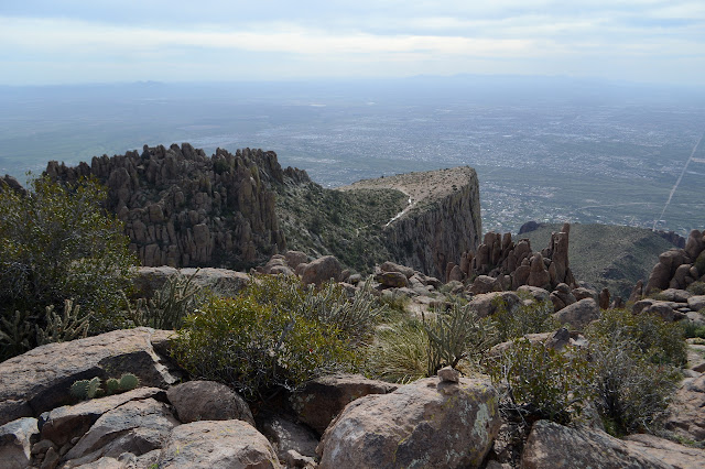
Ladybug Peak - the short way

Coronado National Forest Click for map. With a little bit of time and having been able to download information for the local geocaches, I decided to pop up Ladybug Peak again, this time the very easy way. The road passes through a saddle just below it and Bear Canyon Trail climbs just half a mile to its top from there. I missed three geocaches because I hadn't downloaded them prior to coming to the forest, but one is on the top. Admittedly, it looks like I should have found it while I was looking for the register, but it is so short that I may as well go for it. And I have this feeling I'll finish Ladybug Trail although I actually already did that when I got to where it ends in Bear Canyon Trail. This end of the trail has one of these fancy kiosks with a map. Turkey Flat Trail is shown on it, but not as a path. Heliograph is also shown as a path. So the person tracing out the trails knew a bit more of them than the maps they were tracing. The trail climbs to wh...


