Posts

Mad River Sand Spit

Image
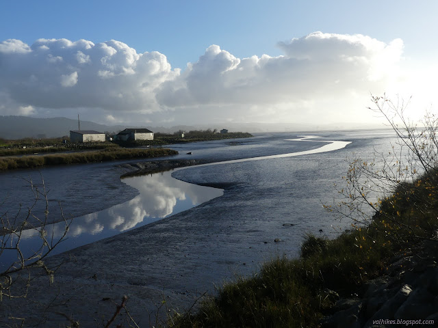
Mad River County Park (map link) I want to see the river cutting across its built up sandspit so, having no reason to believe it might have got around to doing such a thing, I headed out on the dunes. Again, I decided to flow with the water, downhill all the way, first along the river and then along the beach. The trails are starting to get puddly. They'll get worse as the rainy season goes on. A first sight of the river. The river is no longer a placid mass of water. Sticks buried in the bottom and sticking out the top were showing a bit of a wake. Not one single lazy nose of a sea-dog was sticking out and looking at me, but that might have more to do with what the fish are doing than the flow of water. Sticks with a small wake, anyway. The water of the Mad River is certainly flowing. The river still has tides at this stage. I found the big patch of ice plant and couldn't leave it alone. It's rather vast with scattered pieces, so I probably missed a b...

Woodley Island

Image
Eureka City Woodley Island has restaurants and a marina and lots of park space and the Fisherman Memorial and, most importantly, the lighthouse that once stood on Table Bluff and I'd never actually stopped at it. I drove past NOAA right to the end and had a look around. The holiday decorations were still up among the picnic tables. The bridge across the bay forms long, graceful arches of concrete.

A Trilogy of Trails Books by J. Smeaton Chase

Image
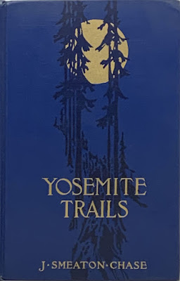
While not hiking anywhere particularly new or interesting in the recent months, I have still managed to have a little project on. I have pulled together, mostly from Internet Archive material, a set of e-books that chronicle some of the travels of one J. Smeaton Chase. These are in epub format. As it is essentially a zip archive of html files, it should be pretty universal. Not nearly so universal as a text file, but with infinitely more formatting and picture including capability, so I think it's worth the compatibility hit. Chase was born in 1864 and seems to have spent some time in rainy Cumbria (it gets a few mentions) before emigrating to California in 1890. He only saw the east as he transferred onto a train and watched it pass into the distance. He deposited his money in a bank which promptly lost it. (This gets no mention, but is found here .) From there, there are many odd jobs, social work, and travel that make up his life. There are only provided for personal reading. ...

Eureka Waterfront Trail and 2nd Street

Image
Eureka City Park (map link) Sometimes, when it's been gently dribbling rain with scattered heavy torrents for five days straight, I get to thinking the sun is a lie. This is the real Eureka! It's not really true. Neither is the true Eureka because there's too much of both to leave out either. I decided not to stay in on the dribbly day and instead wander along the Eureka Waterfront Trail (including the bit in the middle I'd skipped before) and pop up to 2nd Street on the way out to see the old buildings. Other old buildings are available, but this one happens to have an "Adventure Lab" along it that points out a couple of the numerous historic plaques that tell a little about them. I started at the Eureka Slough unpowered boat launch, which is a small lot behind Target and put my umbrella up against the eternal dribble falling from above. The slough, the launch, the path, the highway, and the grey. I turned away from the highway and started along th...

Hikes of 2022

Image
 Eureka Waterfront Trail ; Eureka City Park: 5 Jan  Woodley Island ; Eureka City Park: 8 Jan  Mad River Spit ; Humboldt County Park: 10 Jan  Somes Creek ; Klamath National Forest: 13 Jan

Annie & Mary Trail with Powers Creek Industrial Loop Trail

Image
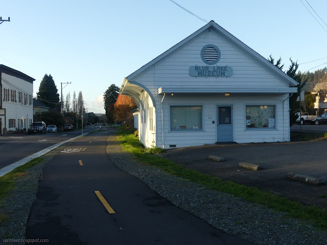
Blue Lake (map link) The Annie & Mary Trail is planned to stretch from Blue Lake to Arcata, generally along the old Arcata and Mad River Railroad route. It will form the northernmost 6.8 miles of the Great Redwood Trail , assuming that isn't derailed by Montana coal concerns . The first mile of multiuse trail was completed last year after some 20 years of work. (Getting a trail really is a long haul project.) Although it is paved and through the city, I decided I should go and see it. There is a bit of parking near the southeast end of the trail, but I actually parked way over on the far side of the bridge where quite a bit of parking, generally utilized by fishermen on the Mad River, can be found. The view from the bridge of the North Fork (ahead) coming into the Mad River (right). I then headed across the bridge and north, taking the right at the Y to find the start of the trail. This end of the trail is among distinctly historic buildings that I've driven past...

Goodbye Timmy (1999-2021)

Image
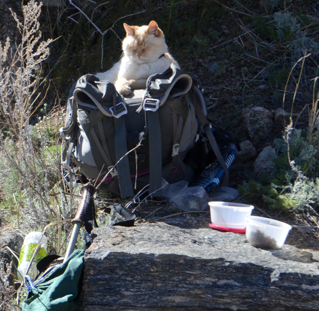
I have to say goodbye to my most difficult hiking partner, Timmy. Not a successful backpacking trip. The sling is for carrying the cat. Admittedly, he didn't get to choose to be a hiking partner. He liked to see new places, but the long stretch of new, getting ever further from anything familiar was just too much. Also, he was already 20ish then, so I didn't expect him to walk the whole way. He wasn't too keen on being carried, either. He could make a 6 mile hike take the entire day, so most the time he just had to be locked away in the trailer. Poor guy. Tried letting him perch on the top of my daypack, too. But boy-oh-boy did he love camping. With it, he had all sorts of new places to explore, but had a familiar home base to return to. We'd get to a new spot and he couldn't be stopped from scrambling out to see where he was now. (Well, I suppose I could have tried harder as I did at gas stations.) He'd get going a bit further than I was quite...

Klopp Lake and Brackish Pond at low tide

Image
Arcata Marsh and Wildlife Sanctuary with the lighter blue variations (map link) I decided to return to the marsh for low tide, which is a little easier to be impressed by than high. High tide just sort of hides things. It wasn't even a particularly low tide. It was about 2 feet and would reach 0, the definition of average for (low) low tide, with the sunset. There were a lot more cars in the little lot by the interpretive center this time. I headed out on the same loop as before , south to Klopp Lake. The wood posts that were part of various old development of the area now show the weathering that has left them ever narrower as it goes down. They are reflected in what is left of the tide retreating and the trickle of creek water. Butcher Slough was no longer brimming over with water. Klopp Lake is nearly emptied of birds. The birds were less keen about visiting the marsh at low tide. Klopp Lake didn't look any lower, but the they had mostly vanished from it. Th...