(almost to) Ute Peak
Arapaho National Forest
White River National Forest
(map link)
The most common approach to Ute Peak is from Ute Pass, but I was camping closer to the Ute Peak Trailhead, so went for that one. While Ute Pass is higher up, the trail drops enough that it probably has about the same amount of climbing as well as an extra mile or so, so this route can be easier. I didn't have a local or recent weather report, so had no idea what to expect for the afternoon. When I did get high enough for some signal, the weather was mostly concerned with the record heat Denver was experiencing but also told me I should have gotten a much earlier start.
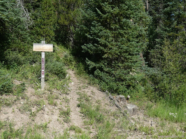
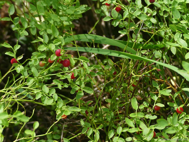
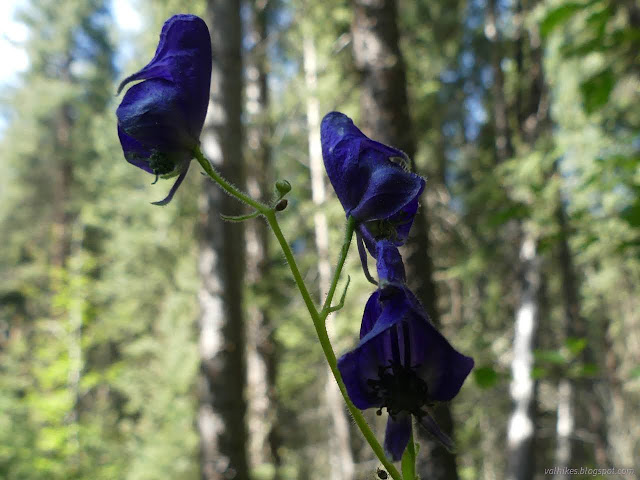
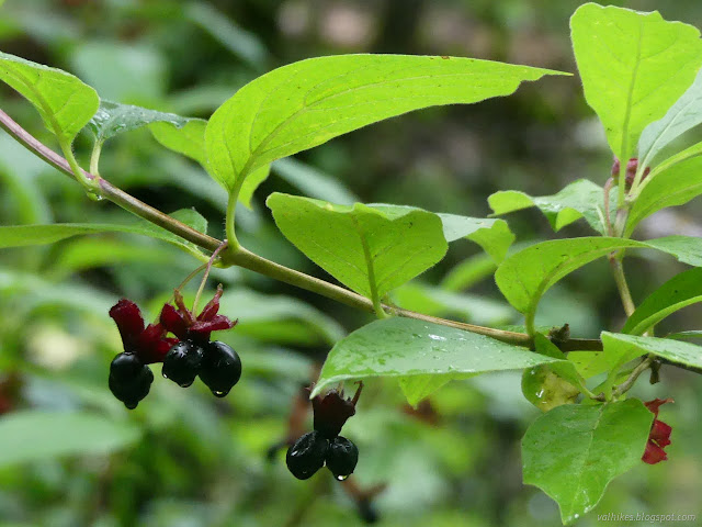
There's a small turnout that could fit at least four cars with a small sign at one end to tell you you're there and a trail at the other end to hike. I got to hiking. It must really be summer now because there were lots of berries along the way and not so many wildflowers.

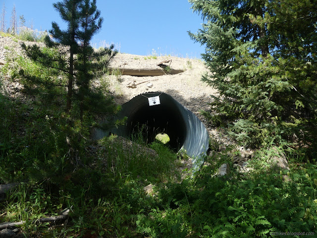
It sounded like there was a helicopter disturbing the peace, then I adjusted my estimate to three or four helicopters, then I came upon one of the world's longer conveyor belts. It runs 15 miles right through a mountain between the Henderson Mill and the Henderson Mine. The mill is a vast inholding a short distance to the north with a massive tailings pond and a little reservoir. The trail travels through a tunnel under the rumbling belt.
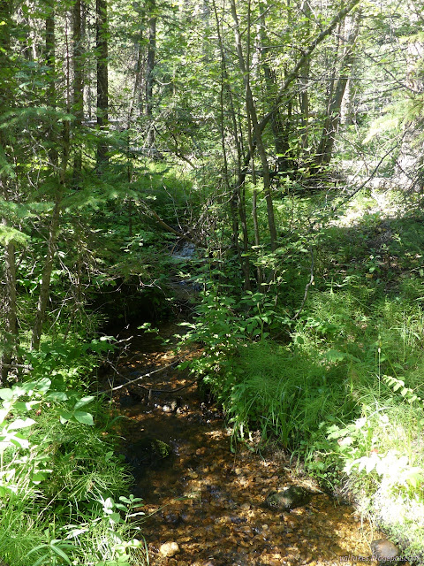
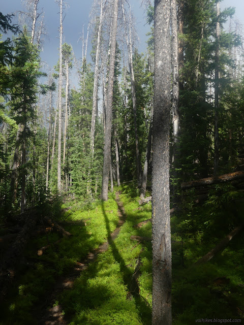
I got moving away from the clatter and it obediently faded quickly. The climb through the trees relaxes a bit for a westward crossing of a couple little creeks.


The junction was well signed and all the trails well used. The trail had not been anywhere near where it was shown on the map so far, so no surprise that the junction is far off, too. There were some rather abrupt climbs for short distances on this bit of the trail, but it was mostly reasonable.

I passed a pair of hikers coming down already. There seemed to be a bit of "you're late getting up there" about their body language, but I still hadn't gotten a weather report by then. Anyway, weather reports are just a bunch of probability. Sometimes it just doesn't come out the expected way. I kept on climbing.

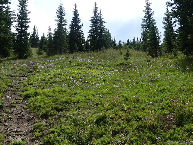


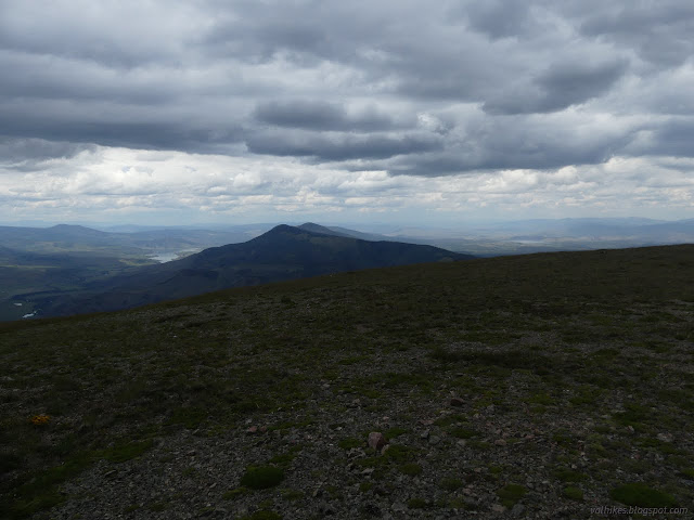
Leaving the trees meant leaving the obvious trail. There were cairns and sometimes a bit of trail, but there were a few spots where I had no clues and just had to hope I'd bump into it again.


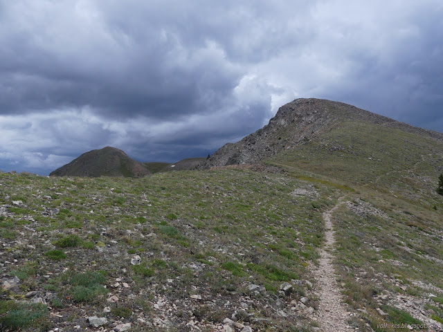
At this point, the trail is just following the ridge, so just wandering in the right direction is generally easy. I had a weather report by this time and it certainly did seem to be turning out as predicted, at least all around me.
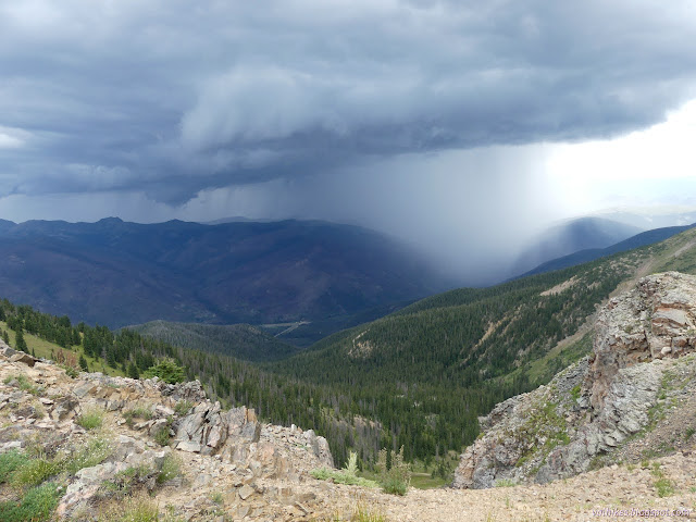

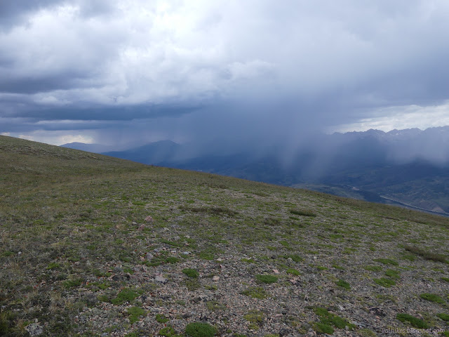
I was in a space of clear as I walked the long, naked ridge toward Ute Peak, but it was getting to be a smaller and smaller space. Not only was the rain closing in on me, but it was coming with lightning. As I stood still a third of a mile from the top, thunder cracked just two miles off to my left and thunder cracked just two miles off to my right. I was sure that I had just enough time to go for it, but after consciously deciding that I could, I also decided that today was not a good day to play the lightning lottery. It's a lot like the normal lottery but the odds are better, it can be gamed, and the prize isn't very attractive. My buddies in the Hundred Peaks section like to say, "The peak is optional; returning is mandatory." Repeating this mantra probably helps make one live by it. I usually get whatever I set out for and it makes turning back when I must that much harder.

I did let it go. I did turn around. I did have in the back of my mind a seed of a plan of a backpacking loop that would come back around for a second try at this peak. That helped a lot with making what was very certainly the right decision of heading for the trees which were still half a mile the other direction.
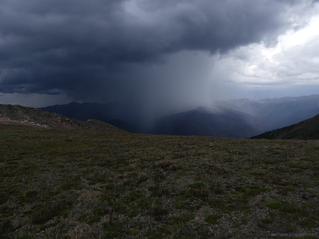

There was a crack that I was pretty sure came from that peak and some pretty impressive flashes. I watched one long streak of crooked light strike a hill next to Henderson Mill on a crazy diagonal. It seemed to be out to illustrate that two miles off is really well within reach for a lightning bolt.

I made it down a little way into the trees without ever feeling a bit fizzy with static or anything, but it really is a long and naked stretch of ridge. I thought about just waiting near the top for the storm to pass and then going up again. When the sun came out lower down, I figured it would have worked, although there would likely be a dark descent and there was a little more weather.

Happily the conveyor belt was silent when I passed it again on my way down.
*photo album*
©2022 Valerie Norton
Written 20 Oct 2022
Liked this? Interesting? Click the three bars at the top left for the menu to read more or subscribe!


Comments