Ossagon Creek, Fern Canyon, and Friendship Ridge
Prairie Creek Redwoods State Park

I thought I'd go see the gnome plants in Prairie Creek, then, realizing they haven't been spotted until later in the season, decided to see what has become of Ossagon Trail over the years since I took it. It's a short trail, so I decided to meander along to Fern Canyon via the California Coastal Trail (and the little waterfall that should be less little today) and then loop around over Friendship Ridge before coming back. Or I might do it the other way around. Being a weekend, Fern Canyon would be crowded, but the weekend was the break in the rain. Sunday should even bee a sun day, so that's when I went.

Ossagon Trail is one of the few in the park where you may ride a bike. It is not, in spite of defacement of the sign, a trail where you may walk your dog. Neither the state parks nor the national park allow dogs on the trails, so the rules are easy to remember. I do wish the state would stop calling their parks "pet friendly" when pets are only allowed leashed on roads and in paved areas and sometimes confined in your camp. They and I have very different ideas of "pet friendly". It is actually "wildlife friendly", which is to say, the wildlife that lives here is supposed to generally have a break from dealing with people's pets.

There's a surprisingly short and gentle uphill to get out of the Prairie Creek drainage and into the Ossagon Creek via the upper reaches of Butler Creek. It's a bit longer counting the slight uphill through those upper reaches.


Over the top, the roar of the sea became a constant background. The redwoods, avoiders of the blown up salt, do not stop immediately. It's a gentle drop too. Maybe not quite as gentle.

The place was full of bird song. The complicated song of the Pacific wren also became an actual wren that seemed determined to be seen. Not photographed, they are never very cooperative. I somehow managed to get something, and not even in shadow, all the same.


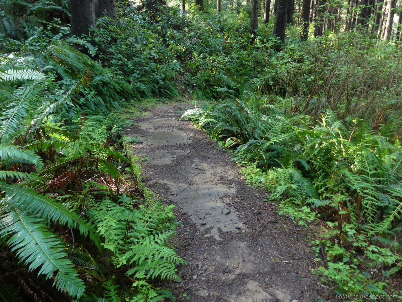
Near the bottom, the trail gets some decidedly muddy spots. There's also a little minor destruction to dodge as I passed into the tsunami zone. It's even signed.


Years ago, Ossagon Creek blew out the area at the bottom as it approaches the flats and seasonal wetlands above the beach. The official campground was destroyed and the area can be difficult to navigate now.


Beside one of those wetlands, I stopped to let Merlin listen to the birds and it said there was a marsh wren singing away nearby. Eventually, a little bird popped out of the grass and into a shrub. I should have trained the camera on that shrub, because within a minute, the little bird was out again, wobbly in flight under the load of a long strip of bark, before vanishing into the grasses to utilize that bark. So no picture, but I have audio.

When I came to the segment of long established seasonal bridge, I was pretty sure I was going wrong. I only went over that when I was going northbound. Southbound should diverge before that. But after that creek crossing.

Still, I found a trail going south. It plunged into the wetlands and I bounced off it. There was thinner trail that I followed and more opportunities to cross over to where I knew the real trail should be, but any attempt kept meeting a minor lake.


Being pretty sure I shouldn't have gone over that bridge and absolutely sure I wasn't on the trail and would likely be missing the waterfall if I continued that way, I considered going back and trying again. I even backtracked a little. The trouble was that I definitely didn't see the right way and the beach would get there one way or another. I made my way south along the low dunes above the beach.


Edging along the top of the open beach area brought me to the snowy plover closure area. The ropes weren't up yet and I think it's a little early for it, but it costs me nearly nothing to go around anyway. I finally started just walking along the beach.

Coming to a creek that crossed the beach, I had just about passed the parking lot for Fern Canyon and had already passed the waterfall and any sensible place to cut over. Even here, there would be a soggy crossing. The creek swings around the parking lot and south, then north to where I saw it.

I would be getting my feet wet in the canyon, so might as well get them wet a little sooner. I crossed. A fellow on the far side noted it was quite cold. It felt colder than the stuff I'd been crossing around Smith River that was presumably snow melt.

So on to the busy part of the hike. The lot was busy and there was even someone out noting all the license plates to make sure everyone was paid. Parking in this part of the State Park requires a longer drive on an unpaved road, a fee, and now needs reservations too. Since I always walk over the ridge one way or another, it's not something I've dealt with.

I missed the waterfall I was hoping to see, but there were lots of little ones on display inside the canyon.


Some of my photo taking left me standing in swift water all the way up near my knees, leading to rather cold feet. My feet weren't warming up as much between wettings when the exit appeared.

It's not much of a climb, and mostly ramp, to get up to the James Irvine Trail above. A few people were turning to go further on. It is the trail the park recommends for the long walk option to get to Fern Canyon. Some looked to be just increasing their hike, and some looked to be lunching while on a long hike.

The turn for Friendship Ridge comes quickly and I left all the people behind as I climbed the steep wiggles of its start. It looks to have had a couple small catastrophes over the last few years, but is mostly intact after. For me, it's the extra long way back that'll double the climbing, but it also connects to Zig Zag #2 Trail, which offers another way over the ridge to access Fern Canyon without reservations.

The redwoods start quickly and the sound of the ocean actually vanishes. The canyon isn't pointed toward the ocean at all.


High up, the memorial groves start. I think these are the most remote of such things in this park. There's even a trail for many of them branching off just before arriving at the West Ridge Trail. I sort of wanted to try it, but my time was getting a bit short and it is a little long on paper. It looked like trail when I first passed, and it looks a little more choked with vegetation now. Maybe my chance to take it has passed.


The junction with West Ridge Trail marks the high point for the day, just 100 feet or so higher than I started. It's sometimes steep on the way down once more into the tsunami zone. The ridge top seems to feature a number of odd shaped trees.


My predicted sunny afternoon was starting to look rather overcast, but the foggy morning had been a bit sunny.

Once the trail has dropped most of its elevation, there's a lot of creeks to cross on little bridges.


A final set of stairs dropped me onto the bit of California Coastal Trail/Davison Trail I hadn't been able to find. It looked good right there, but was a little rough further on and just got rougher. There were a few trees down and then a section that looks like trail once stayed high, but now it drops along a stream to a patch of, well, lawn.

The patch of grass felt ominous. It didn't help that at first I couldn't see any sign of trail, and then just couldn't see anything that looked like it was used as trail. I had found a long rise that would make a good trail if you wanted to go that way.

At the far side of the grass, still not seeing places made bare by walking as is normal with well used trails, I arrived at the wetlands. As it is hard to see trail across the top of water, nor could I really see into the water I was still uncertain of trail. Looking out across the marsh grasses, I had to admit that there did seem to be an area of long, skinny opening among the more organic large clearings. So into the water I went. Experimentally, I stepped off to the side of what I thought was trail and my feet sank a little into muck. On possible trail, I was on solid ground, although nearly up to my knees in water. Around a corner, I even found a couple signs.

As I left the worst of it, I noted the presence of large animals among the grasses not far away. Specifically, the large animals that were noted to be "aggressive" on a sign back at the Fern Canyon Trailhead were munching away about 40 feet from me, held back only by tall, floppy grass blades.

And then I followed a straight and very faint track that ended in a much more visible bit of trail passing by that marsh wren's home. Even if I had seen the smaller trail, it is unlikely that I'd have waded through all that water because the sign isn't visible from the edge. On the way back, I didn't really have a choice. Even with my feet freshly wetted, I didn't want to wade through the Ossagon Creek crossing. Some of it is a bit deeper than knee deep and it has visible current. Meanwhile, another elk waited for me on the far side.

Then on to the climb back to the road that once served as the main highway.

Disappointingly, the only other person I saw on trail that wasn't right around Fern Canyon was just getting started on walking her massive dog. I'm getting really tired of hearing, "Oh, I didn't know." There's too many trails where dogs aren't allowed. A responsible dog owner would actually check rather than just assuming they are. At least it was leashed? She seemed really fast finding Cal Barrel Road on the map, the one legal place to walk a dog away from traffic, if she really didn't know. The nearby animals will be smelling that for weeks.

*photo album*
©2025 Valerie Norton
Written 11 May 2025
Liked this? Interesting? Click the three bars at the top left for the menu to read more or subscribe!


Comments