Table Mountain

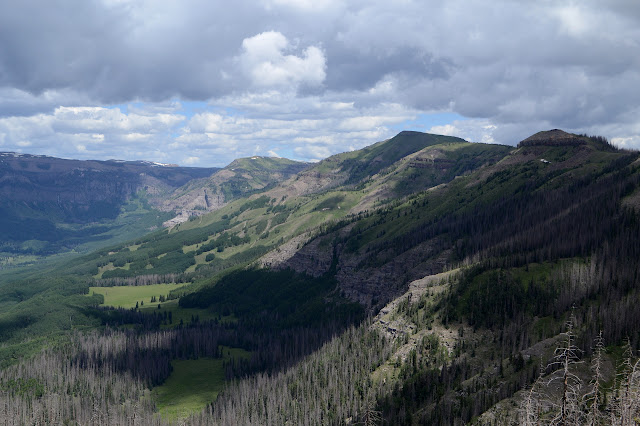
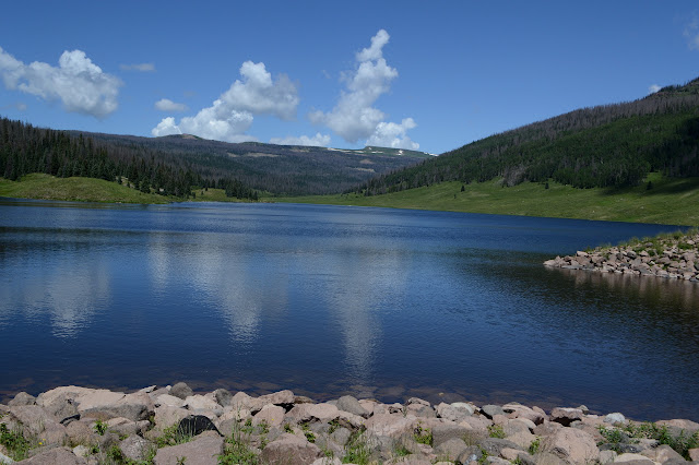
Rio Grande National Forest Click for map. Ever plotting for loops, I noticed that the local "Table Mountain", quite a popular name for a mountain, is very nearly visited by the local "Highline Trail", which also seems to slightly less popular, but they tend to be worth visiting. Kitty Creek Trail provides a way up on one side and Tie Hill Trail on the other with Shaw Lake Loop Trail (which does not seem to loop, but perhaps it is just a piece to help make the loop I am doing) and a little bit of Lake Fork Trail to finish it off. Well, also about a half mile of road along Shaw Lake, but it is gravel and flat and will go quickly. The spot on the map marked "Stairsteps" has me intrigued. I have decided to go counterclockwise making it about 8 miles up and 4 miles down from the peak. Kitty Creek is marked with a sign listing the dangers of entering a burn area, but the Shaw Lake Loop Trail seems to have not had even that much attention given to it. T...