I meant to have a look at the Great Salt Lake as I drove by, and how could I not? I-80 rides right on top of it for miles. But I came across in the dark in a torrential rain. When the 18 wheelers passed, I couldn't even see the road in the splash. I could smell it. Oh, what a stink. I read about the Salton Sea before I started this trip in February, how it comes and goes and when it goes, it is a ecological disaster as it becomes too salty for the fish that somehow came to it. This seems like at least a little of that stink, which is odd because I thought it was too salty for fish.
So having not seen the lake again, I got up with the first of the light and started heading west across the first stretch of desert with the sun rising in my rearview mirror. I stopped for breakfast at the rest area about ¾ of the way between ranges. (Compare and contrast wandering across most of the desert before breakfast with Mark Train's account of coming across a very similar route in a stagecoach in Roughing It, chapter 18.) It's a good spot to take in Lake Bonneville. The Great Salt Lake used to be far greater and Lake Bonneville is the name given to the most recent ancient lake that sat here. It filled the Great Basin until there was outflow at Red Rock Pass in southeastern Idaho. (Actually, that hadn't been the normal state of things and when it breached the pass, it caused a flood down the Snake River and lowered the lake by 300 feet. Presumably it continued to flow yearly until the lake lowered again.)
Very welcoming! Marking the location (approximately) of "Utah's famed measured mile—site of world land-speed record runs" and a foot wash if you to wandering through it. Only there's no water here anymore. All water was piped 10 miles from Wendover.
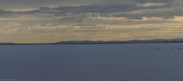
Still cloudy, so not much actual sunrise in the rearview of the line of headlights to the right
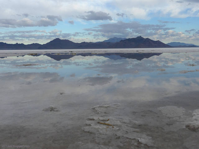
Enjoying the "lake" after the night's heavy rains
Everything is just flat and salt covered, until it's not
The salt forms into structures
Look to the far mountains and note the horizontal lines that are old lake levels
More delight in the watery desert
*Lake Bonneville photo album*
Since I last wrote about digital maps, the S1 Mobile app has been shut down and the Forest Service released a new map app that looks pretty good. It might be time for a new post on maps. (Check the "equipment" tag for older editions.) USFS app in offline mode showing a section of the Pacific Crest Trail north of Marble Mountain Wilderness including intersecting roads, streams, and contours. As before, this will focus on legal, free ways to have maps stored on your handheld computer (AKA "phone") so you can have them anywhere and any time. While these are free, it does help insure that independent developers keep going next year if you send some money toward them. My criteria for a map app: Works offline. If you only have a map when online, you don't have a map. It is as simple as that. This is non-negotiable. Maps should include contours. I'm looking to hike with these maps after all. Shows location. User configurable storage opt...
Redwood National Park Click for interactive map On the prior Thursday, I joined the California Invasive Species Advisory Committee's invasive species tour of Eureka. It was at the last minute because I figured I knew all about these things since I spend a bit of time each week hacking them down as a volunteer. Of course, they were talking about the lesser known things and the tour started out with aphids that affect Sitka spruce terribly as we toured Mouralherwaqh, a patch of land that is Wiyot again. This one is not open to the general public, but we also visited the 'O Rew Redwood Gateway, a piece of land that is Yurok again, and is open to the public as of 1 Aug and where I discovered a new trail. I also noted that although this was most recently an abandoned mill site, there are some nice rounded tree tops poking out of the forest nearby, one of the signs of old growth. I decided I would be back to try that new trail. The sign at the after hours/overflow parking a...
Patapsco Valley State Park interactive map link I was charged with deciding on a hike that kids could do, except I have no experience in this or in evaluating what a particular kid can do. Plus, I would be without any parental supervision. Alltrails offered up Cascade Falls as a possible suitable suggestion, except that it would be done on the weekend and is a very popular location. I liked a climb on Garrett's Pass and a drop on the Cascade Falls Trail, which is 4 miles and only 300 feet or so from bottom to top. (It goes from ~20m to ~100m.) That's not so much, right? And I even had the means for up to 2 kids to be self sufficient, able to carry water, snacks, camera, and a light sweater on their own. Self sufficiency for the win, right? The hike would be in the Patapsco Valley State Park, like most my hikes would likely be. This park has a mix of free lots and pay lots. The pay lots have different prices for in state or out of state, weekends/holidays or weekdays. T...
Picture Canyon Natural and Cultural Preserve Click for map. Picture Canyon is a little bit of open space developed jointly by the City of Flagstaff and Arizona State Parks. It boasts cultural artifacts and plenty of birding. The Tom Moody Trail makes a loop through the area to take in some of these. It sits at the edge of a couple bits of industry and my nose can't help but tell me that one of those is sewage treatment. Um, I mean "waste water". That won't dominate the whole area, but it is noticed in the wetter spots. A place to start with some parking. Signs include an area map. Ground zero for the stink up ahead, but certainly not the source. That is throughout the city. Trail heads toward the smell past an "outdoor classroom" that is benches and a semicircle of educational signs, then the loop splits. I head left away from the smell and into the trees, but also away from the cultural artifacts. It's an old road through gentle hil...



Comments