Houda Point to the Reservoir
Westhaven
Click for map
As I came down Trinidad Head, I spotted the neighborhood trail that comes down off Van Wycke Street to the harbor in a very short but lovely length. It reminded me of some similar neighborhood trails I had spotted in Westhaven and wanted to find out more about. It looks like you can wander your way along road and trail to eventually circle the reservoir by a couple different routes. I parked at Houda Point to start, but did pass a couple turnouts on the way to the first trail.

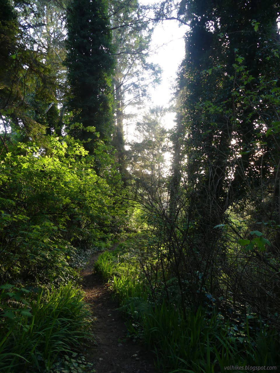
The trail I saw when I got around the corner did not inspire confidence. Thin and scrambly and steep. But it was also covered in footprints. With all that green around, it would close up quickly if not for use.

I decided on a cautious and wary climb. While the bottom may not be as one would build a trail, there were clear indications above it of building. Halfway along, I even got confirmation that this probably goes with a legal right-of-way and everything.

The trail comes to a driveway and then Loop Place, a private road. Presumably foot travel is still allowed along these? I looped around Loop Place, which looks quite nice, to Sixth Avenue, which is county road. Also quite possibly the mainest street in the area.

I found something new to me outside the volunteer fire station: a little free art gallery! It was participating in an April Art Share thing leading up to the Wildflower Show in Eureka (May 3-5). While some of those are Little Free Libraries converted for the month and some might be store displays, this one appears to be a permanent gallery of little artworks.

On up Sixth, the road turned into a driveway at Westhaven Drive. Supposedly there's trail there somewhere. Nothing was evident outside of the driveway and there were "private drive" and "no trespassing" signs adorning it to a degree that made me wary of going along it trusting a trail to turn up. I jogged over to Eighth Avenue. I left county roads again as I turned onto Railroad Grade. There was certainly some well used trail when I got to the other ends.

I followed it down a little way. Ribbons to mark it and an extraordinary number of footprints were the only things to suggest some level of officialness. I got to a crossing trail I didn't expect, one side going off into the woods, and the other going through a ripped down bit of fence and a sign promising to call the sheriff above it. I turned back at that junction.

At the end of the trail, I continued up on road that ended in a barricade with room deliberately left for walkers. The right turn on Spruce Road followed road rather than trail I was expecting.

The next bit of trail seemed to be actually road, too. One on the right goes off to offices for the local Community Services District. One on the left is where people go wandering up and around the reservoir. While that is the entity doing parks in neighboring districts, that doesn't mean all their land is park. There's some park qualities to the locale.


I didn't immediately spot the route around and continued upstream a short way. Though there is trail, it clearly doesn't get as much use. I turned back and found the loop.


Then, soon, off again. This time I followed Fourth as far as it goes. I wonder if some find the Shakedown Street sign at one house ominous? I was stuck humming a song the rest of the day. "Yeah, yeah, yeah. You can never tell." The lower part of the road had been closed off to traffic, and then I found a segment of trail that does give an aura of officialness even though there were no signs.


The trail crosses Second Avenue and ends at Westhaven Drive. From there, I had to wander road with no shoulder back to Houda Point. My GPS appears to have wandered a little south, but there's no route there.

I quite liked the little walk around Westhaven. It seemed like everyone is taking good care of their homes. Once back to Houda Point, the sun was getting ready to set. It would be a shame to not stop by the point properly during that time.


I decided to head down the steps and around the point.


I followed the sounds of water around the rocky beach, then turned around and decided against walking around the point after all.

So I climbed back up those steep steps, each one a solid lift. Enough up and down.

*photo album*
©2024 Valerie Norton
Written 1 May 2024
Liked this? Interesting? Click the three bars at the top left for the menu to read more or subscribe!


Comments