Posts

Showing posts from May, 2009

Icehouse Canyon

Image
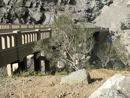
Angeles National Forest Locate the trailhead. Icehouse Canyon is on a right hand straight (the road turns sharply left) just after Baldy Village. To enter the Wilderness some two miles up, you need to get a permit. We also needed a hang tag to hold the Golden Eagle so we were good and let them count us. That didn't make parking any easier on a Sunday morning. Backpackers and early(er) risers had gotten all the real spaces in the large lot, and quite a few of the imaginary ones. I was able to imagine one more spot on the second time around so we weren't so good on the parking but we weren't blocking anything either. The trail itself goes up at a steady, determined pace. It is about 3.6 miles of constant up. It does not go flat, it does not go down, it just climbs and climbs until it gets to the saddle. There is one junction along the way which is actually just another way up to the saddle but takes about two miles longer to get there. We took this going dow

Bridge to Nowhere

Image
Angeles National Forest Locate the trailhead. The "Bridge to Nowhere" isn't really such. Hike information can be found here . The instructions for getting there could be improved quite a bit, though. After getting off on Arcadia in Arcadia, turn north and follow the road out of the city and along the reservoir. Turn right on East Fork Road to cross a large bridge over the river and wiggle around a little more. That road does dead end at the ranger station if you go around the hairpin turn it talks about, but if you catch the road into the Sheep Mountain Wilderness to the left on that hairpin turn you pass a few trailheads on the way to the end of the road. Park in the large lot by the gate on the road and continue down it passing yet another trailhead to some other destination. The trail follows the old road route up to the bridge built for the road. At least half of it is actually on the old road bed, but there are places where the roadbed are long gone and

follow by email