Posts

Showing posts with the label Carson National Forest

New Mexico/Colorado State Line on the CDT

Image
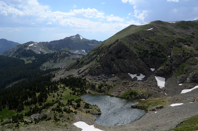
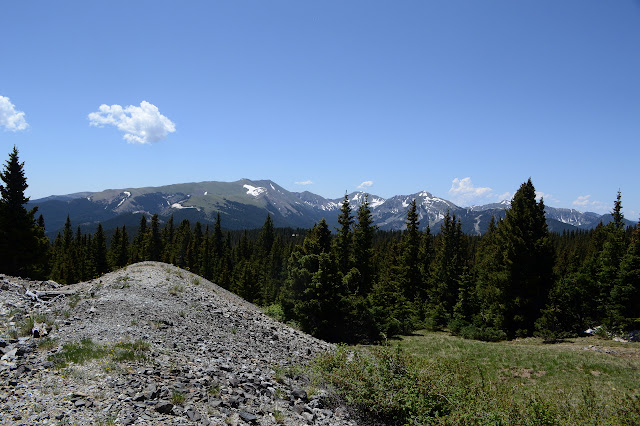
Rio Grande National Forest Carson National Forest Click for map. Okay, I admit it, the only reason I set off on this hike was to cross the state line on foot and maybe find a marker. The map says there's one right on the line very close to the trail crossing. County? State? Forest? No idea. They all have a boundary there. For the rest of my planning, I figure if I go 6 or 7 miles, the hike will be about half in each state. Anyway, more random miles on the Continental Divide Trail. A pair of tents has sprouted on the north side of the highway and the cuben fiber one talks as I go by. No wonder those things are so expensive! They're too late for northbounders and too early for southbounders but perhaps with the heavy snow they are simply determined-to-do-the-high-route-bounders who have reordered their northbound miles. Or section hikers. Or just getting started, but it seems unusual that they would be camping at the start and no car nearby. I completely fail to ask t...
Tony Marquez Trail and Jawbone Mountain

Image
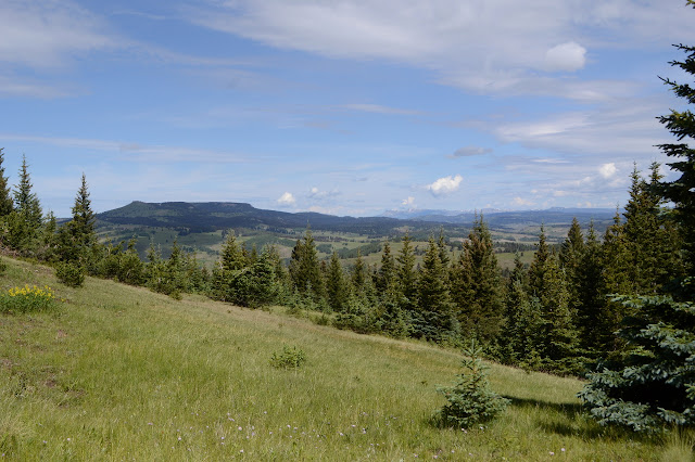
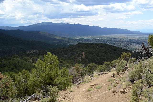
Carson National Forest Click for map. Finally getting out of Taos and expecting to land in Colorado by the end of the day, I got stalled among a bit of countryside with a new character. Okay, the plains cut deeply by the Rio Grande was also a different character, but it was uncomfortably hot too. I had looked a little at the Tony Marquez Trail in planning, but couldn't figure out where I might stay. The campgrounds are expensive in this area, but there are dispersed spots. I can check it out after all. Parking at the Continental Divide Trail crossing, which is also Tony Marquez through here, is lacking, but there is an lot big enough for a hundred cars further west where the trail hits the highway again. Of course, it is unsigned. That would be too easy. But the trail is there. Across from the parking, there is a gate in the range fence, and behind that is a sign for the trail well hidden from the road by trees. I guess we wouldn't want to advertise. Not with parking s...

Devisadero Peak

Image
Carson National Forest Click for map. It seems to be getting too hot, even up high, and yet for some reason I feel compelled to check out another little section of forest down by the city. Between the gaining heat and the near promise of afternoon rain, at least it is a short excursion. I hadn't quite realized how close to the city it is. Trails go both directions from the highway and a sign points to each, but parking is only to the south of the highway. Crossing the highway to the trail, I can't help but notice the huge "Welcome to Taos" sign. At the very edge of the forest. The trail starts to the right of the rock wall. The highway runs along a riparian corridor supplied with water by a creek south of it, but everything is quite dry already by the north side where the trail starts. The corridor quickly becomes a green line of distinctly different trees as I climb upwards along the trail. As much as I am worried about the heat, the trees around me ...

Lake Fork Peak and Williams Lake

Image
Carson National Forest Click for map. I've decided to do those other three peaks that circle Williams Lake even if I probably won't continue all the way to Wheeler again. It would be pretty cool to get the state high point by a second route, I've done the other state high point by two different routes , but the guy on Peakbagger who waxes poetic about how going from Kachina around to Wheeler is a most delightful learning route progressing steadily from class 2 to class 4 with generally solid hand holds makes me pretty certain I would have no business trying it, especially on my own. Others assure me that it will also be delightful to drop down and visit the lake, but requiring no more than a scramble. So the plan is to go up Kachina and continue to Lake Fork Peak and unnamed 12819 before retreating and dropping down, unless something makes me drop down sooner. Getting up to Kachina can be done by a cross country route or just following ski roads most the way. This...

Lobo Peak and Flag Mountain

Image
Carson National Forest Click for map. Once I determined I was going to get myself my second state high point, Lobo Peak was the next thing I decided I would do. Nearby, but gets into a completely different area and there are multiple ways up so there can be a loop. It does require a little road walking to connect whatever trails I use. The final plan is up Yerba Canyon, which is the most direct route, then down Italianos Canyon, which is a popular one. If I'm feeling good at the top, I can go on to Flag Mountain which is 3 miles of ridge trail, so a rolling 6 mile addition to a 4 mile, 4000 foot climb. Wait, that's seriously steep. That can't be right. 8200 feet to 12115 feet, anyway, and the line on the map estimating the distance doesn't quite get to 4 miles. Anyway, there's a road sign pointing out the start, lots of parking along the side of the road and even more up the short 4x4 road to the trailhead, and a little kiosk there with nearly no informati...

Wheeler Peak

Image
Carson National Forest Click for map. Listening to the weather man is useless. It seems like the prediction for the day after tomorrow is more accurate for the coming day. I was going to go to the top of New Mexico yesterday and it would have been a beautiful day for it, but I let the worsening prediction made the day before persuade me to wait. Also the huge downpour in the night to add to the general level of water available for recycling was a factor making me uneasy. No more flinching, I'm off to the high point. I want to come down along the Wheeler Peak Trail, so I'm just going to walk the two miles up the road with an early start. That means my pancakes got cooked up the night before, but they're chocolate so they're still good cold. It's already getting a little light as I begin the chug up the good dirt road. In winter it is 4WD only as it has some steep spots, but for summer those spots are just a little washboardy. It's interesting that one st...

Gold Hill

Image
Carson National Forest Click for map. Alright, I am in place to head up to the top of New Mexico! Says it right there on the free tourist map from the Welcome Center. Not that that's what I'm doing today, but it will be. Oh, it will be. I feel like in between catching up with writing and suddenly driving to Needles to get the car a smog check (what lovely lack of planning that was) and failing to get my window fixed that I need something to get the legs moving before doing something I really want to work out. So I'm going for something longer: Gold Hill. It may not sound like much, but it is the high point of its wilderness and should get me out of the trees again. "Hill" might be a bit of a misnomer. The plan is up Bull-of-the-Woods Wheeler Peak and Gold Hill Trails, which are longer but should be more interesting, then down Long Canyon, which is shorter. The trailhead is signed aplenty a little way along the dirt road from parking. Either way, i...