Posts

Showing posts from April, 2024

Grasshopper: Grasshopper Trail, River Trail, and Bull Creek Trail South

Image
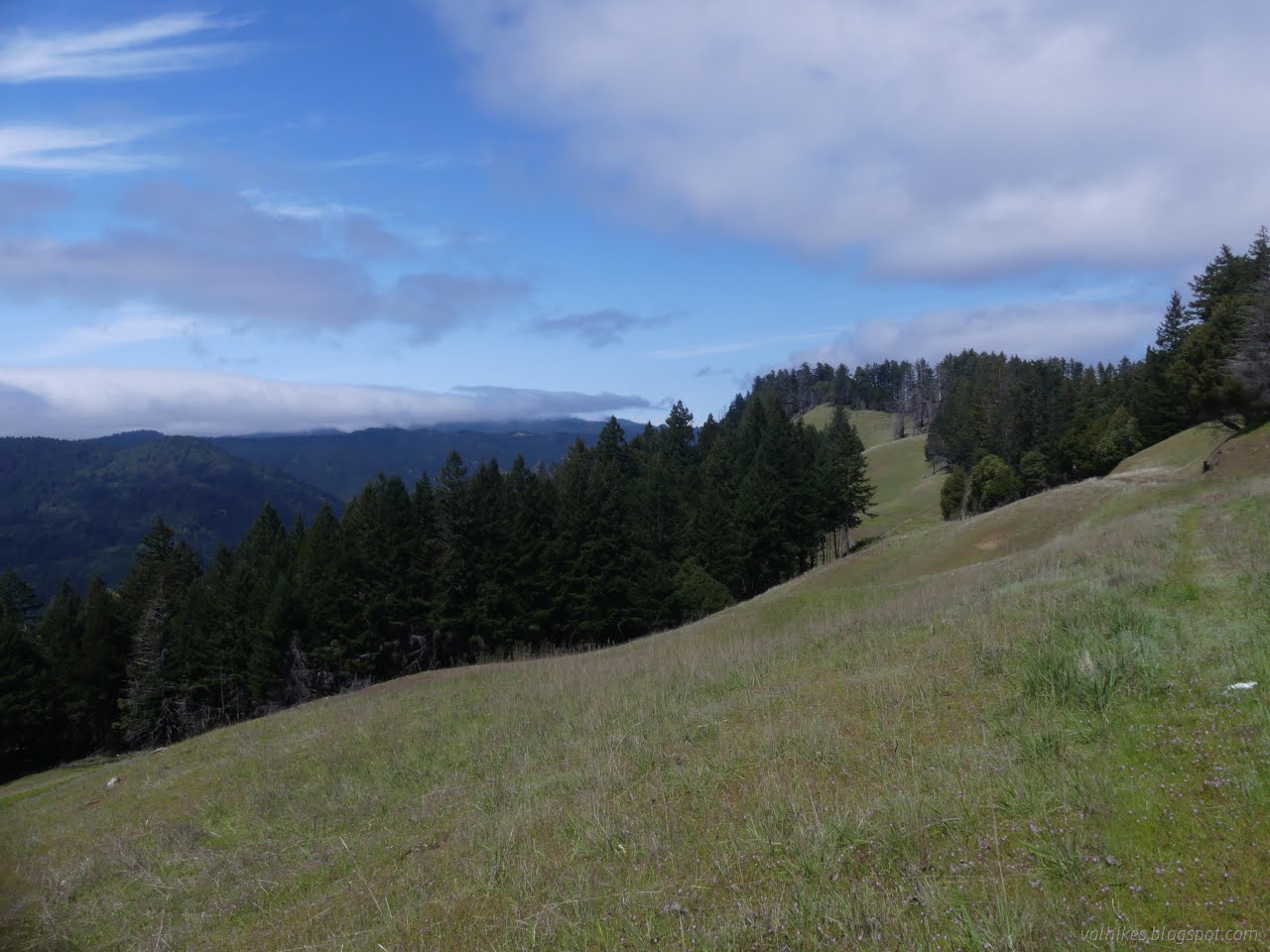
Humboldt Redwoods State Park (blue and purple lines for day 3, map link ) DAY 1  |  DAY 2  |  DAY 3 I was slow to get up, hoping the dribbling would let up even though the weather seemed very settled on dribbling. The night's point prediction was 13% chance of rain falling quickly to 7% and continuing down to 3%. None of that discouraged it from dribbling the whole night and into the morning. The bear box hadn't proved to be watertight and everything near the front had gotten wet at the bottom and drawn water to everything behind it. Admittedly, that was of minimal imporance for everything except for the park brochure and map. It would never be the same. The morning view from under my tarp. I put away the bedding and cooked breakfast under the tarp. By the time I got everything in my pack, then the wet tarp stuffed in the pocket, there hadn't been much improvement. I pulled out the poncho to keep the drops off. I still didn't know if it was rain or the

Grasshopper: Hanson Ridge, The Excursion, and Grasshopper Peak

Image
Humboldt Redwoods State Park (orange, yellow, green lines for day 2, map link ) DAY 1  |  DAY 2  |  DAY 3 I didn't have very far to go for the second day, just around from Whiskey Flat Trail Camp to Grasshopper Trail Camp. However, I had a few excursions planned for the day. First would be out along Hanson Ridge (or Hansen Ridge on the map). Second would be something off toward Bull Creek Trail Camp. Exactly what, I wasn't sure. The proposed route on my map was following a decommissioned road past a likely gone barn to the camp, then back up following the South Prairie Trail. It annoys me that there's only one route connecting the trails that come up from the Perimeter Road to those around Grasshopper Mountain. Third would be a quick round up to the fire lookout at the top of the mountain after getting to camp. Since Grasshopper is a dry camp, I would have to collect water on the way. The most reliable option is a stream that Grieg Road crosses shortly before ar

Grasshopper: Homestead and Baxter to Whiskey Flat

Image
Humboldt Redwoods State Park (pink, red, red-orange lines for day 1, Click for map ) DAY 1  |  DAY 2  |  DAY 3 I decided the perfect way to celebrate Earth Day was to launch myself on a three day, forty mile backpacking trip after not really having any proper hikes since November. Or perhaps it just happened to be the day after quite a few days struggling with what might be my route and two hours of packing to grab the three day window before rain started again. I preferred to be hitting new-to-me trails, lesser seen trails, and stop by the Children's Forest. I got some of that. The thing is, you must stay at one of the five trail camps that have been built, which can be a bit limiting. There's a three night max, which isn't so bad. (Per camp or total? I didn't ask and this requirement isn't mentioned in any of the online material.) No dogs allowed, as usual in the State Park. (Nor cats.) They're so emphatically against wood fires that they stamp it

Houda Point to the Reservoir

Image
Westhaven Click for map As I came down Trinidad Head, I spotted the neighborhood trail that comes down off Van Wycke Street to the harbor in a very short but lovely length. It reminded me of some similar neighborhood trails I had spotted in Westhaven and wanted to find out more about. It looks like you can wander your way along road and trail to eventually circle the reservoir by a couple different routes. I parked at Houda Point to start, but did pass a couple turnouts on the way to the first trail. Looking down to Houda Cove from Scenic Drive. The trail I saw when I got around the corner did not inspire confidence. Thin and scrambly and steep. But it was also covered in footprints. With all that green around, it would close up quickly if not for use. The thin trail up the hillside. I decided on a cautious and wary climb. While the bottom may not be as one would build a trail, there were clear indications above it of building. Halfway along, I even got confirmation tha

Agents of Discovery at Trinidad Head

Image
California Coastal National Monument Click for map Did you know the Bureau of Land Management also does Junior Ranger programs? In the case of the Trinidad Head Lighthouse, there is both a traditional paper program (called Junior Explorer, but it's the same thing) and an electronic one using the Agents of Discovery app . I've been meaning to try out the paper one except that it seems like a lot of paper (waste!) and it's not as approachable as a PDF on a tiny screen. (Plus it's very hard to take a rubbing on a PDF.) You should be able to pick up the booklet at either the Arcata Field Office or the Trinidad Museum. The electronic one is made for that sort of small screen, so I decided to try it. I was sort of expecting a rehash of the Redwood Edventures Quest for Trinidad , but that's not what I got. So step one: download the app. It is huge. The app is taking 166 MB and it has another 482 MB of data after downloading 1 mission. There's also 1 demo and 5

Less wet birds of Arcata Marsh

Image
Arcata Marsh and Wildlife Sanctuary Click for map I headed out to the marsh with the tide on its way out and a small hope of maybe recording a few local birds in a non-bird feeder scenario. The low tide may not be the best time for seeing the wading birds as they tend to be out finding food, but I think the land is more interesting when the water recedes. Besides, those aren't the ones that have been hanging out at the feeder. I started off at one of the larger lots near the Interpretive Center and headed for the edge of Humboldt Bay. (It was called Wigi once, if one gets tired of calling everything after Humboldt.) Tidal Jolly Giant Creek as it flows past the Interpretive Center. The first bird along was, happily, not one that has been frequenting the bird feeder although, from a certain point of view, it's a perfectly good feeding place. The operator of the feeder gets upset when such feeding happens. A red shouldered hawk gets in a solid glare after the first

follow by email