Posts

Showing posts with the label marsh

Ocean Ranch

Image
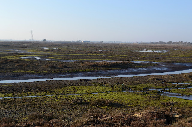
Eel River Wildlife Area Click for interactive map A little after I first (and last) visited Ocean Ranch , the California Department of Fish and Wildlife launched a restoration project in this bit of the Eel River Wildlife Area that I keep meaning to check out. It gets a mention sometimes on the twice monthly DERT days by Friends of the Dunes because they decided to test the best removal system for the invasive beach grass we pull by hand. The winner for efficiency includes fire. I pulled into the now paved parking lot at the top because that's all I was expecting, only to find there is now a paved road where there was a gated, uneven track down to another parking area with picnicking that is open sunrise to sunset. The wooden sign got an upgrade. There was very obviously a billowing plume of smoke originating from somewhere over by the mouth of the Eel River. A blackberry hunter suspected that folks who came to Crab County Park for the 4th to light up massive mounds of ...
Less wet birds of Arcata Marsh

Image
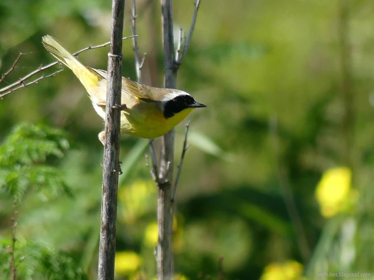
Arcata Marsh and Wildlife Sanctuary Click for map I headed out to the marsh with the tide on its way out and a small hope of maybe recording a few local birds in a non-bird feeder scenario. The low tide may not be the best time for seeing the wading birds as they tend to be out finding food, but I think the land is more interesting when the water recedes. Besides, those aren't the ones that have been hanging out at the feeder. I started off at one of the larger lots near the Interpretive Center and headed for the edge of Humboldt Bay. (It was called Wigi once, if one gets tired of calling everything after Humboldt.) Tidal Jolly Giant Creek as it flows past the Interpretive Center. The first bird along was, happily, not one that has been frequenting the bird feeder although, from a certain point of view, it's a perfectly good feeding place. The operator of the feeder gets upset when such feeding happens. A red shouldered hawk gets in a solid glare after the fir...

Klopp Lake and Brackish Pond at low tide

Image
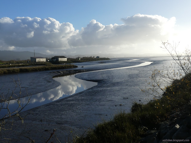
Arcata Marsh and Wildlife Sanctuary with the lighter blue variations (map link) I decided to return to the marsh for low tide, which is a little easier to be impressed by than high. High tide just sort of hides things. It wasn't even a particularly low tide. It was about 2 feet and would reach 0, the definition of average for (low) low tide, with the sunset. There were a lot more cars in the little lot by the interpretive center this time. I headed out on the same loop as before , south to Klopp Lake. The wood posts that were part of various old development of the area now show the weathering that has left them ever narrower as it goes down. They are reflected in what is left of the tide retreating and the trickle of creek water. Butcher Slough was no longer brimming over with water. Klopp Lake is nearly emptied of birds. The birds were less keen about visiting the marsh at low tide. Klopp Lake didn't look any lower, but the they had mostly vanished from it. Th...

Klopp Lake and Brackish Pond at high tide

Image
Arcata Marsh and Wildlife Sanctuary (map link) While the tide was still hitting an 8 foot high and on a day when the sun would come out for it, I headed down to the Arcata Marsh to be impressed by all the water. Judging by parking at the interpretive center, it might be quite empty. Getting out on the trails quickly dissuaded me of that thought. There's always plenty of people out on the marsh. And dogs. Today, nearly all of their owners were even compliant with the local leash laws. Maybe there's enough birders around to remind those who can't imagine how such laws apply to their dog that "wildlife sanctuaries" are rarely okay with dogs being allowed to randomly charge the wildlife, no matter what their size or friendliness. Staring into the sun at the start of the trail where a map allows some planning. Butcher Slough with the water right up to the grasses and high on the old mill ruins. There's a couple different things that were built here over...

Redwood EdVentures Quest at Arcata Marsh

Image
Arcata Wildlife Refuge Click for map. Click for rough map. R saw my patch from the Redwood EdVentures Quest along the Hidden Valley Trail in the King Range and said she wanted one too. I'm not sure if she would do that one because hills are involved, besides it's rather far to go for a short hike. I know she pokes around Arcata Marsh sometimes, so suggested we try the one based there . I wanted to get out for the first day of spring. (Isn't it a bit early for that? Farmers Almanac says it's the earliest in 124 years.) R needed a little extra motivation go just do it, but the county shelter-in-place order taking effect at midnight provided enough push. We're not exactly what we can do after it. I was a little worried there would be others thinking they better get out before getting locked up, but the parking lot has lots of room and the paths aren't crowded. Of course, the Interpretive Center is already closed for the duration. The Quest starts there ...

Arcata Marsh

Image
wildlife sanctuary area Click for map. I'd kept meaning to visit the marsh area between wandering dunes and beaches and big trees, but never quite made it. Admittedly, there are tidal flats and brackish pools in other areas, so I did get a little bit of the marsh but with a fair bit fewer people hanging around. Here, I've barely entered before a large and apparently organized group passes by. I do wonder where they parked because I only found an area with three spots. There is a little bit of education out here too. Signs tell about the area. The first one I find tells about river otters that can be found around here, but are rare to see and a little hard to spot. It gives a few tips for finding them. Heading into the well used trails. They are not the slightest bit marshy. Pools sit beside the paths with what might be the evidence of river otter, according to the sign. A railroad used to pass through here carrying away the redwoods. A short wander down one...