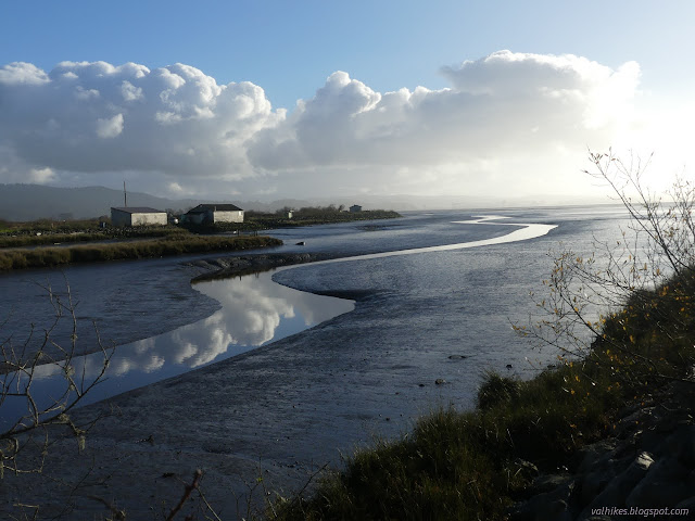
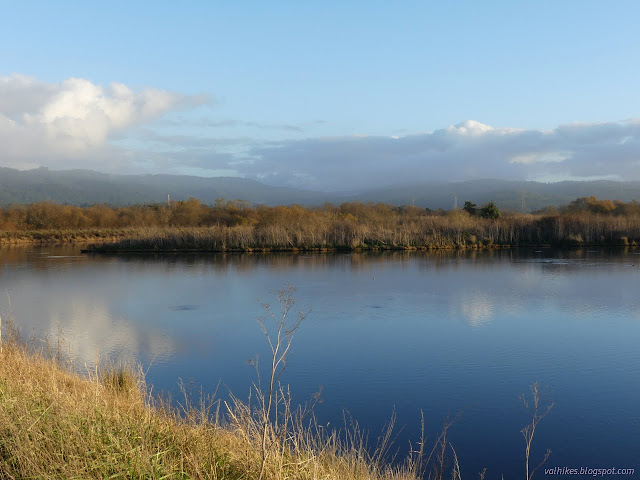
Klopp Lake and Brackish Pond at low tide
Arcata Marsh and Wildlife Sanctuary
with the lighter blue variations (map link)
I decided to return to the marsh for low tide, which is a little easier to be impressed by than high. High tide just sort of hides things. It wasn't even a particularly low tide. It was about 2 feet and would reach 0, the definition of average for (low) low tide, with the sunset. There were a lot more cars in the little lot by the interpretive center this time. I headed out on the same loop as before, south to Klopp Lake.


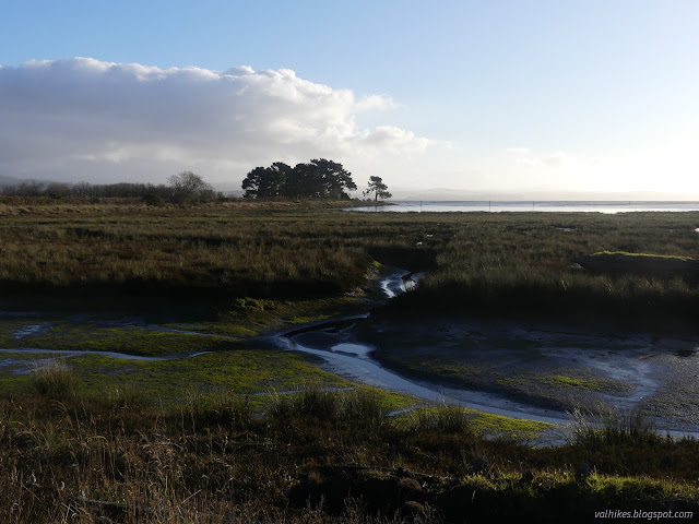
The birds were less keen about visiting the marsh at low tide. Klopp Lake didn't look any lower, but the they had mostly vanished from it. The sandpipers dashing back and forth over the waves on the other side of the path were not there for the miles of mud flats now exposed. Did they feel less safe? I was probably looking at it the wrong way around. They were just out working. With the tide out, it was time to find food.

The tide measurements I was looking at were at the "Arcata Wharf" and, I have to be honest, I have no idea where that is. I had looked across from the levee leading to McDaniel Slough to see something that looked promising, so I diverged from my previous route to walk around the other side of the parking lot. It was the boat launch. I walked out on its plastic decking of its pier which managed to stick out into a large puddle of remaining water in the mud. Probably not the thing.

I returned across the parking lot entrance to the trail leaving Klopp Lake. It dries out a little as it drifts away from Hauser Marsh (and "up" "Mount Trashmore") and I spotted birds that aren't much associated with the shore.
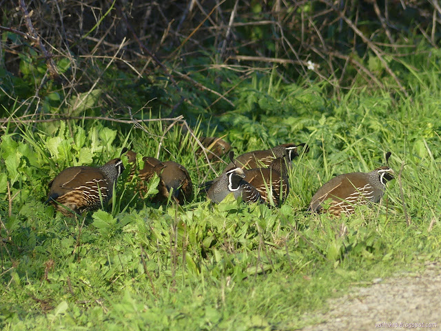
Someone came the other way and chased the quail away, so I continued on and took the turn to get out to McDaniel Slough again. This was a place where I finally found some water that actually looked free. It also looked a bit more than 8 feet lower than the previous tide level. Well, 8 feet is a lot.


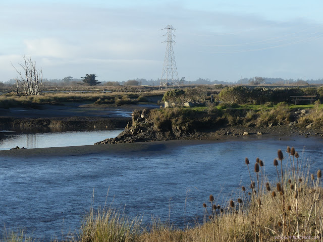
After going out to the end and pondering the undercut nature of the edge (there is a warning sign), I turned back to wander along the ponds at the north end of the marsh as before.

I decided to diverge from my path once more and pass around the Butcher Slough Log Pond on the other side this time.

Still bugged about the wharf, I stopped by the Interpretive Center to ask. Well, it's right on the map. "Arcata Wharf (Ruins)" it says. It's that boardwalk that was once set with wooden tracks for wooden cars pulled by mules (or their parents) to move the goods. How do you measure the tide at a location where the water is long gone much of the time? The fellow didn't know. It seems to work. Maybe it's actually far out there somewhere.
*photo album*
©2021 Valerie Norton
Written 26 Dec 2021
Liked this? Interesting? Click the three bars at the top left for the menu to read more or subscribe!


Comments