Posts

Showing posts with the label Ruby Mountains Wilderness

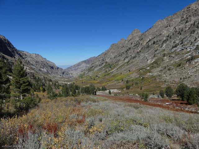
Right Fork Lamoille Creek
Image
Humboldt-Toiyabe National Forest ( map link ) This area was burned in the Range Two Fire in 2018. It also got the first half mile or so of the previous hike up Thomas Canyon , but was not particularly noticeable. It is very obvious along the Right Fork. The other nuisance for this canyon is that there is a piece of private property making trail access more difficult than it should be. This seems to be a common problem for the Rubies, albeit one of the lesser cases. There's a parking area (no camping allowed) and signs next to the gate for Camp Lamoille to make it clear that you can use this trail so long as you walk through the camp. I was only ⅓ mile down the road and couldn't be bothered to drive that little way down the road. Lamoille Creek under the bridge Trail parking beside the gate for Camp Lamoille I followed the trail around the gate and off into the camp. The sign says it is only open through September, so was abandoned except for maybe a caretaker. ...

Thomas Canyon Trail

Image
Humboldt-Toiyabe National Forest ( map link ) This trail is found in a campground and parking for it is next to the fee collection station. There's a sign so you know. From there, you get to walk halfway around the circle to finally find the actual trailhead. There's no parking there unless you take a site. The only sign to identify it is "please stay on trail" but it's well established and hard to miss once on it. All that marks the Thomas Canyon Trail Steps seem to mark this certainly as built trail into Thomas Canyon There's a lot of trails that access the creek early on. There's a nice swimming hole and some waterfalls, so no wonder, especially as the campers probably wander a bit.

Ruby Crest to Castle Lake and Liberty Peak

Image
Humboldt-Toiyabe National Forest ( map link ) I had a big day planned and got up in the early cold. That first dim, dawn light played in a band across the western peaks of Lamoille Canyon. The edge of it diffused downward into the rest of the canyon and then the band was repeated, this time with the first light of sunrise. It took a lot longer for the edge of this light to travel down into the bottom of the canyon and I was long on the trail by the time it did. Trailhead at the end of the road. Detailed signs about possible destinations are a short way down the trail on the left. Looking behind to a long canyon of shadow A pleading to stay on the trail in this fragile environment There are two trails to choose from for going up. The hiker trail travels the east side of the canyon, so would be cold longer, but would look across to the lit part of the canyon, which I hoped would make for better photographs. The stock trail climbs the other side and I could see it sitting...