Posts

Showing posts with the label Mount Graham Wilderness Study Area

Round the Mountain Spring
Image
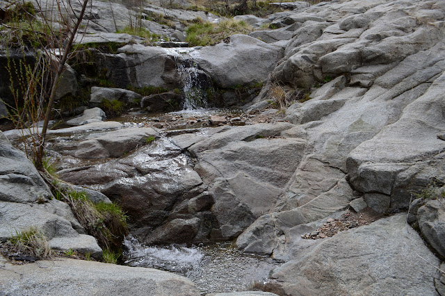
Coronado National Forest Click for map. Round the Mountain Trail has been left largely undone, and even if I don't really want to go all the way to Columbine (17 miles one way) as a day hike, I could go out and see Round the Mountain Spring where I was proposing to have my first night. It does sort of illustrate the problem of even wanting to deal with backpacking with the cat that I couldn't even get as far for a first day as I can for a day hike. Still, I don't know what he would be capable of if I were to just let him get more familiar with the idea of moving along a trail. Anyway, today he won't get any practice as I try to get some miles in, see if Marijilda Creek is passable or not, and find out what sort of camp I chose before marching right back. Information at the trailhead covers both camping and the trail. It certainly is easier to go ahead and take a photograph without wrangling a cat, but I still forget to get one of Noon Creek, which is ru...

Ladybug Peak - the short way

Image
Coronado National Forest Click for map. With a little bit of time and having been able to download information for the local geocaches, I decided to pop up Ladybug Peak again, this time the very easy way. The road passes through a saddle just below it and Bear Canyon Trail climbs just half a mile to its top from there. I missed three geocaches because I hadn't downloaded them prior to coming to the forest, but one is on the top. Admittedly, it looks like I should have found it while I was looking for the register, but it is so short that I may as well go for it. And I have this feeling I'll finish Ladybug Trail although I actually already did that when I got to where it ends in Bear Canyon Trail. This end of the trail has one of these fancy kiosks with a map. Turkey Flat Trail is shown on it, but not as a path. Heliograph is also shown as a path. So the person tracing out the trails knew a bit more of them than the maps they were tracing. The trail climbs to wh...

Timmy backpacking: Round the Mountain

Image
Coronado National Forest Click for map. I want to go up Mount Graham and I want to do it right with some climb involved. It has 6300 feet of prominence, after all, and one should honor that. The sign at Round the Mountain Trailhead, the old summer CCC camp, says 17 miles to Columbine, the old winter CCC camp. I want to break off just short of that to take Deadman Highline Trail further up and across to finish coming down Noon Creek Ridge. I figure it for about 35 miles, which is too much for a day. That means Timmy, the cat, has to come with me, with all his limitations. He did a 5 mile day, hopefully he can do 7 mile days. That really slows me down to 5 days from probably 3 days. The big beautiful new kiosk at the trail says food has to be in the car or hanging in trees. I expect the bear canister is also okay and there do not look to be too many trees suitable for hanging food even where it hasn't burned, so that has to come. Oh, and there is snow up there and I got me ...

Ladybug Peak

Image
Coronado National Forest Click for map. Well, I said quite some time back that I was going to Coronado National Forest and now I finally got to a little bit of it. I saw it for all its high prominence peaks. It is a forest made of many separate pieces centered on "sky islands", mountains that stick up significantly from the surrounding terrain such that the tops have vastly different (and often unique, like islands) flora and fauna. It's a more poetic way of saying the same thing. This particular sky island is the Pinaleno Mountains and the high point, Mount Graham, stands over 10k feet on a desert floor of about 4k feet. I figure a good get-to-know-the-place hike will be the Ladybug Trail. It runs through a bit of elevation without getting into too much snow, will let me get a better look at the higher elevations, and there is even a peak to grab at the end. Also, unlike a few other trails in the area, most of it didn't just burn in the 2017 Frye Fire. ...