Panoche Hills high point and Panoche Mountain
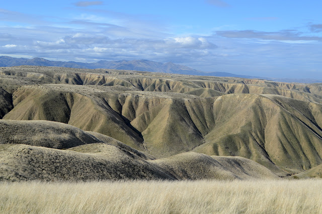
Panoche Hills Click for map. There's a lot more access to the Panoche Hills than to Griswold Hills to the south . A graveled access road comes up to the top from the northwest, then splits and continues a few more miles in two directions along the top with numerous more primitive roads splitting off both. Tucked into the east side of the main road (right fork) are a pair of wilderness study areas split by the road to the FAA VOR station (left fork). This means there shouldn't be any motor vehicles in those areas, but it doesn't stop the target shooting. With some rather nice views and lots of little roads down into spots with a bit of hill to one side, there is a lot of target shooting. It has me rather hesitant to go for the loop I had roughly planned. Still, between the rain yesterday and the weatherman insisting it was actually coming today, there doesn't seem to be anyone shooting now, nor has anyone driven up to start. I can at least do the high point and ...
