Posts

Showing posts with the label Cerbat Foothills Recreation Area

Camp Beale Springs

Image
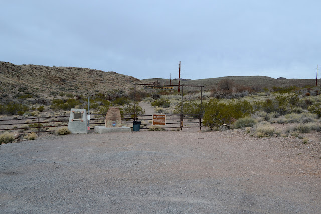
Cerbat Foothills Recreation Area Click for map. For a little bit of area history, stop by Camp Beale Springs, but pick up the free permit to enter it from the city first. It is available from the Powerhouse Visitor Center or the City Parks Department at Centennial Park and mine came with a rough map of the area. Parking is not signed, but is across from Wagon Trail Road a little before the signed parking for Camp Beale Trailhead. Parking and gate for entry into Camp Beale. Monument plaques sit to the left, one for the Hualapai people who were collected here and one more general. It all revolves around the spring of course. It was a stop on a toll road in 1865. It was an army outpost during the Hualapai War 1866-1870. The camp was established in 1871 as it became a "temporary reservation" for the Hualapai Indians 1871-1874. As that follows on the heals of a war is is followed on by a forced march, the wording "internment camp" on the other monument migh...
Looping Rattler and Camp Beale

Image
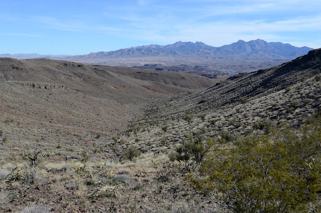
Cerbat Foothills Recreation Area Click for map. The recreation area continues on the far side of the highway (and future I-11 corridor) so I went over to the Camp Beale Trailhead to check that part out. There is a connector under the highway, so all parts of the trail system are available no matter which trailhead is chosen. It is a couple miles between these two via the connector, and they are the closest together of the four available, so it is nice to choose the right one. This trailhead is much smaller and someone has destroyed a large sign that probably once held at least a little good information. At least the trash isn't overflowing. The monoliths from yesterday sit in the distance. A bit less information at this trailhead. I head out around the loop to the left this time. That way passes near the actual Camp Beale area which is accessed from a lot a little closer to the highway and requires a free permit from the city to enter. (Get it from the Powerhouse o...

Foothills Rim and Monolith Gardens

Image
Cerbat Foothills Recreation Area Click for map. There is an extensive trail system at the edge of Kingman, Arizona, and so I am off for a general exploration of them starting at the Coyote Pass Trailhead. This trailhead is only accessible from the southbound lanes of US-93. There is a right hand turn lane, but little indication what it is for. There is a huge lot with trash cans and signs at one end and a bathroom at the other. The signs indicate that the trails are on a mixture of federal, state, county, city, and private lands and is generally run cooperatively between BLM and the city. Oh, and trails are maintained by the local mountain bikers. It sounds quite complicated to get set up, but they managed it and now there are trails for all to enjoy. Signs at the trailhead and one of the monoliths in the garden. I head down the trail in front of me toward something interesting. It looks like someone carved a door into the side of a particularly large air bubble in the...