Posts

Showing posts with the label Lake Havasu BLM

Black Peak -- avenged -- and the south peak
Image
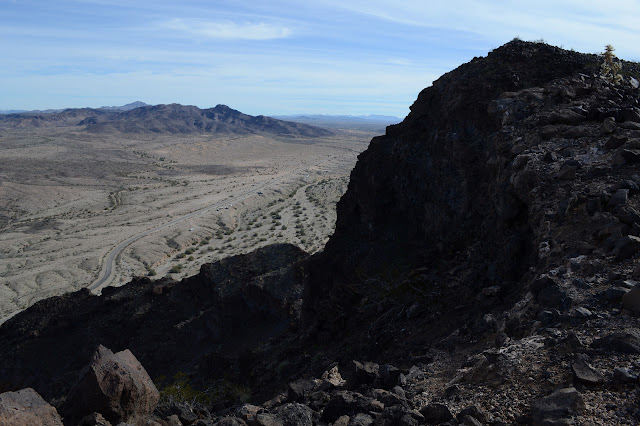
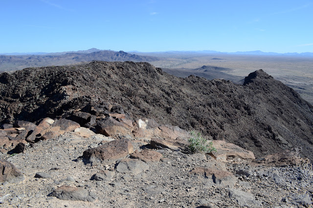
Colorado River Indian Reservation Lake Havasu BLM Click for map. Back at the bottom of Black Peak and out to conquer it after my defeat a few days ago . It will be a bit of a hollow victory because I am now approaching it via a route that is much easier than the crumbling class 3 climb I aborted almost before it began previously. I'm just going to take the road up. Everyone is doing it, at least everyone who has registered their ascent on Peakbagger. Back at little Black Peak. This side has a big "P" for Parker on the side. I park off the road where it is curving back to east-west next to a "no camping" sign and what is probably illegal road. Somewhere to my left should be the actual road that ultimately makes its way up to the top of the peak. I head off cross country sort of angled to eventually run into it. It is hard to miss when I come to it, although I take it for a wash as I approach. The footing on it is much worse than in the surroundin...
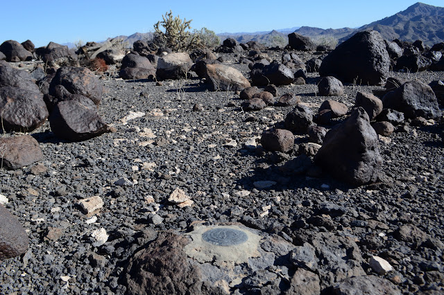
Lopez benchmark and Vampire Mine

Image
Shea Road (Parker, AZ) BLM Click for map. Today is to be a bit less directed than the previous hike, just letting the local hiders of geocaches be my guide with maybe some excursions for a benchmark or Mineral Hill or corners or whatever. The geocaches purport to lie along a loop of road although one lies further afield. One part heads north at the end of 2WD travel according to my map. I'm not sure how this road will look after some rain, but it has been worked recently and is good as far as is indicated by the map right now. For the caches, there seems to be a recommendation for 4WD, high clearance, short wheel base, and avoid weekends for less potential of meeting anyone coming the other way on a narrow rugged road with few pull outs. None of that worries me for walking. Starting up toward that massive mesa area that was seen roughly north of Planet Peak. The road does not actually seem uninviting until it starts down to cross the area's major wash. Some peo...

Planet Peak

Image
Lake Havasu BLM Click for map. It rises 1500 feet from everything that clusters around it and it says "planet" at the top and what more does one need? Well, maybe a route and there are not a lot on offer for this one. My chosen route starts a little way down the road from a rather nice camp site and, well, I'm already parked, so it starts at a rather nice camp site. From there, head southerly into a particularly large wash coming off the mountain. It will split at some point, take the left side there. A little further and the ridge comes down to a low spot on the left where I want to transition from wash to ridge, then right on up to the top. There is a rocky area that looks a little worrying along the way, but I'll just have to take it as it comes when I get there. There is also a little matter of the weather, which I neglected to get a prediction for and which seems to keep turning the more distant areas a little bit misty. My old weather report for a lot o...

Black Peak

Image
Lake Havasu BLM Click for map. The cluster of three little peaks drew me to the area of Shea Road. I figured they would be quick to hike all together in a most, but not all, of the day sort of way. Antennas stand apparently to the west slightly of the top of the named one, Black Peak, which dampened my spirits a little, but one does come to expect this sort of treatment to peaks. The boundary for the Colorado River Indian Reservation takes a corner up there, so it has potential for an unusual monument at the top. I parked by the one closest to the road in a spot where there weren't so many campers. Practically any place will do along this stretch of road. The first target, a peak that stands out from the other two a little to the east. This camping area was completely empty although there must have been at least 40 RVs on the other side of a little hill. The wash at the far side of my parking area is full of ATV tracks and the buzz of the things, mostly on tracks ac...

Crossman Peak

Image
Arizona State Trust Land Lake Havasu BLM Click for map. I have as a sort of goal to climb peaks listed as the USA Lower 48 Top 400 Peaks by Prominence and Crossman Peak is ranked #343 on that list. Unfortunately that rank is by height, but a bit over 3k prominence isn't too shabby. Getting there is much easier with a 4x4 or even just some high clearance, but Alltrails says I can do it in about 13 miles round trip, so I am going to go for it. The day is a little short and my start got delayed thinking I might have dropped my wallet out of a back pocket while scaling something nearby called "Little Haystack" on Lists of John, but finally located it in an unexpected pocket of luggage before having to scale the "3+" rocks again hoping to spot it. It's the little things that make a day go smoothly. Never mind, it is practically a road walk anyway and the weather will not look good on photos tomorrow, so I found my way to the end of the pavement on Bison...