Posts

Showing posts with the label interpretive trail

Hikshari' to the Old Growth with an electric magnifier

Image
Headwaters Forest Reserve Click for map I decided it was time for a pilgrimage to the spot of old growth coastal redwood trees they'll let the public visit regularly, at least if they're on foot and without a dog after the bridge at mile 3. They do give the bikes parking just before the curve down to that bridge, so one can bike most the way. I wouldn't, but one could. I hoped the South Side Trail would be open. The BLM website suggests it could be in May if the water is low enough. The docent led hikes on the Salmon Creek side of the Reserve (plus an extra birding walk by Ken Burton to celebrate the 25th anniversary of the creation of the Reserve ) have started. (I should finally do one of those, but I would have to rely on a fellow hiker and likely stranger get from the meet point to the trailhead.) Paved big trail at the start of the Elk River Trail. The South Side Trail was still marked as closed as I passed. I wanted to take it on the way back, so I held...

Agents of Discovery at Trinidad Head

Image
California Coastal National Monument Click for map Did you know the Bureau of Land Management also does Junior Ranger programs? In the case of the Trinidad Head Lighthouse, there is both a traditional paper program (called Junior Explorer, but it's the same thing) and an electronic one using the Agents of Discovery app . I've been meaning to try out the paper one except that it seems like a lot of paper (waste!) and it's not as approachable as a PDF on a tiny screen. (Plus it's very hard to take a rubbing on a PDF.) You should be able to pick up the booklet at either the Arcata Field Office or the Trinidad Museum. The electronic one is made for that sort of small screen, so I decided to try it. I was sort of expecting a rehash of the Redwood Edventures Quest for Trinidad , but that's not what I got. So step one: download the app. It is huge. The app is taking 166 MB and it has another 482 MB of data after downloading 1 mission. There's also 1 demo an...

Hikshari' Trail extension and Eureka Marsh

Image
Eureka City Parks ( map link ) With a second day of sunshine, I decided to check out the trail extension along what will, one day, be a complete Humboldt Bay Trail. This bit has been referred to as the Hikshari' Trail extension or the Bay Trail extension. It's a piece of the Great Redwood Trail where the California Coast Trail follows along. Specifically, it is a mile of paved multiuse trail running between the breaking waves coming in through the bay opening and restored salt marsh. Since it is only a mile of trail, I planned on seeing a bit more and actually started at some parking at the Bayshore Mall for the Eureka Waterfront Trail. There's supposed to be trail parking somewhere around the mall, and I believe I saw it marked once near the oil pier at the other end of the long line of unused spaces where I parked. I got a spot next to a short gravel connecting trail and turned south toward the extension. This is paved multiuse trail with occasional rest points...

Grimes Point and Hidden Cave

Image
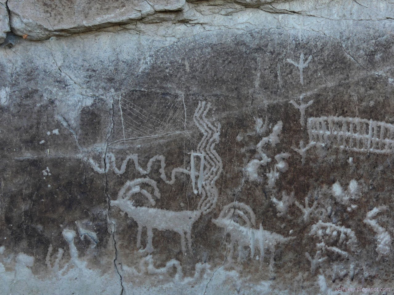
Stillwater Field Office BLM ( map link ) I passed right by Grimes Point on the way out to see the annular eclipse , which quite definitively closes my circle through Nevada that started with the Pony Express and other ruins . (There's an introduction at the Lassen overlook , but that's in California, so that doesn't count.) I wanted to stop this time because there are petroglyphs. These aren't just any petroglyphs, either. Estimated to be at least 8000 years old, they're some of the oldest in the state. There are some that are probably at least 10,500, perhaps 14,000, years old, so they're not the oldest. One of a few information signs at the highly developed Grimes Point Trailhead which includes toilets, covered picnic tables, paved road access, and more information signs. My plan for the visit was to take a turn around the interpretive trail that visits some of the petroglyphs in the area, then head up the Observation Point Trail. There were some...

White River Narrows

Image
Basin and Range National Monument ( map link ) The three rock art brochures I picked up at the Caliente Field Office included one for the White River Narrows. When I had iffy signal, I had seen, but not kept, the printable map from this site . That would have got me to the sites, but the brochure has more to say about them besides don't touch, not even to take a rubbing. (But also, don't touch. Especially not to take a rubbing. It's illegal for a reason.) I did try to visit anyway, but it didn't work out well. I debated if I really wanted to backtrack out of my way 24 miles to try again, but while flipping through the Rock Art book from the Nevada Rock Art Foundation (also available in PDF here) , I spotted a particularly interesting panel and found it is part of the site here. Okay, I do. But first, this is what it is like to visit without the brochure in hand: 20 Nov 2023 I was traveling from the Wayne E. Kirch Wildlife Management Area toward Caliente with...

Crystal Wash Petroglyphs

Image
Caliente Field Office BLM ( map link ) I picked up three brochures for petroglyph sites at the Caliente Field Office including the one for Crystal Wash. Between the rough location of #98 Crystal Wash Petroglyphs on the Ely District Recreation Opportunity Guide (on the wrong side of the highway) and the description in the brochure, which referred to mile markers that have almost entirely vanished from the highway, I guessed my starting location was a little further down an unnamed road than geocache GC14GG1: I'd Go a Mile for a Smile-Elephant Poop . It is another one saying you could take your mamma's Jetta down the road, and this road is smooth. The sagebrush down the middle still provided some very audible bumping and the faint wash near the start could get worse over time. Still, I got to the end and found a small dirt parking area and a register. (Infrastructure! Confirmation of correct location!) The register seemed to think one could expect to find brochures in the b...

Hot Creek

Image
Wayne E. Kirch Wildlife Management Area ( map link ) The Kirch WMA boasts wildlife viewing, but not hiking, according to my handy Ely District Recreation Opportunities Guide from BLM. The district boasts two of these free to visit Nevada Department of Wildlife facilities that cater to migrating waterfowl, the hunters that might get a few, and birdwatchers galore. Fishermen too. Road signs have been provided to help get them there, too! There is no camping except at the free Dave Deacon Campground. I started the day making an animal trail approach to Whipple Cave until I got enough signal to look it up and find out about the 80 foot rappel required for entry, so I got to the campground a little earlier than expected. I decided to wander over to Hot Creek in the afternoon and found that there is a little bit of hiking trail here. I ended up making a couple trips over while I was at the reserve. Birdwatching begins at "home" with one of the numerous European starlings ...

Alpine Lakes Loop, Bristlecone Trail, and the Rock Glacier

Image
Great Basin National Park ( map link ) Since I didn't have time for it after I climbed Wheeler Peak , I had to come back to make my way around the Alpine Lakes Loop and see the rock glacier. What's a rock glacier? Well, I would find out. It would be later than expected. I wanted to go there first for the better light, but the trail was closed for an indeterminant amount of time in the morning due to unforeseeable circumstances. I decided to reverse my plans and made it take extra long by trying out a map editor (Vespucci) on the handheld. Since I had no signal and hadn't tried it at all before, the best I could do was take notes for things that weren't on my OpenAndroMap. I started with the ADA accessible Island Forest Trail, which has a number of interpretive signs and benches and needed some route corrections. I got the first two all marked although the last part was complicating things. The Island Forest Trail, an ADA trail of rubbery mesh mats and a few boa...