Alpine Lakes Loop, Bristlecone Trail, and the Rock Glacier
Great Basin National Park
(map link)
Since I didn't have time for it after I climbed Wheeler Peak, I had to come back to make my way around the Alpine Lakes Loop and see the rock glacier. What's a rock glacier? Well, I would find out. It would be later than expected. I wanted to go there first for the better light, but the trail was closed for an indeterminant amount of time in the morning due to unforeseeable circumstances. I decided to reverse my plans and made it take extra long by trying out a map editor (Vespucci) on the handheld. Since I had no signal and hadn't tried it at all before, the best I could do was take notes for things that weren't on my OpenAndroMap. I started with the ADA accessible Island Forest Trail, which has a number of interpretive signs and benches and needed some route corrections. I got the first two all marked although the last part was complicating things.
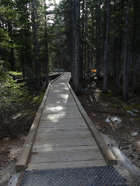
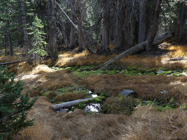
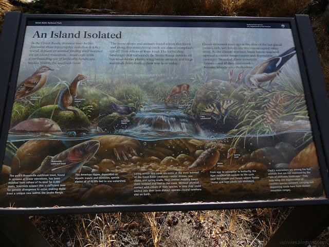
That didn't take all that long, even with figuring out bits and pieces of a new app. The trail splits for the Alpine Lakes Loop shortly after that. I went right toward Stella Lake (which I had visited on the way to Wheeler Peak), which is the longer portion of the trail before the junction with the Bristlecone Trail.
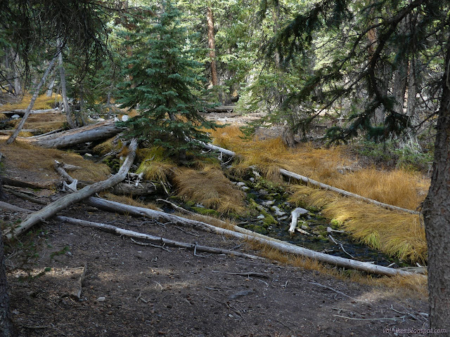
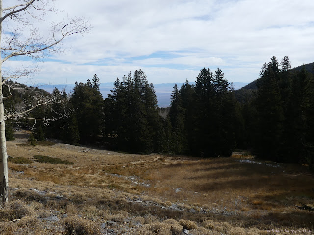

From Stella Lake, the trail winds through rocky glacial moraine areas downward toward Teresa Lake. A spring feeds a trickle of water that starts Lehmen Creek, the creek seen before.
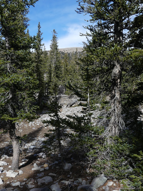

In spite of the spring filling, Teresa Lake is also very low.
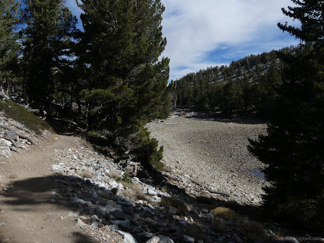
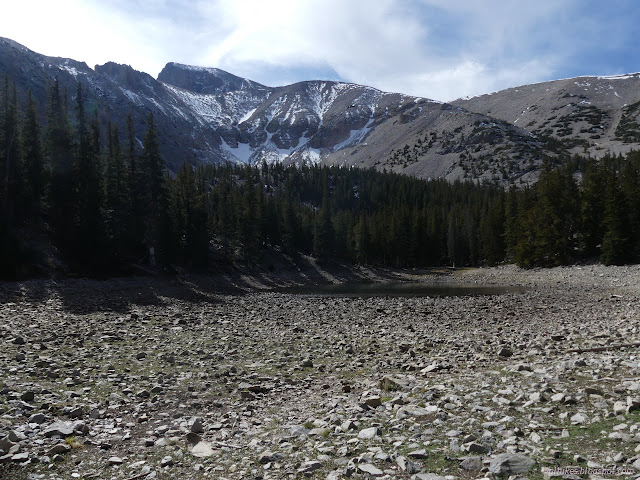
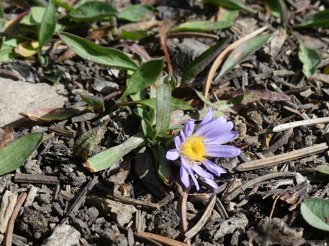
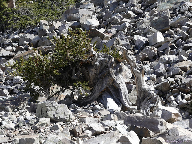
The Alpine Lakes Loop doesn't take all that long either since it is under 3 miles long. From Teresa Lake, it is a short way along more moraine to the junction with the Bristlecone Trail. This is Great Basin National Park's most accessible grove of ancient trees and includes another interpretive trail on a little loop through the grove. I followed it up with quickly increasing views.
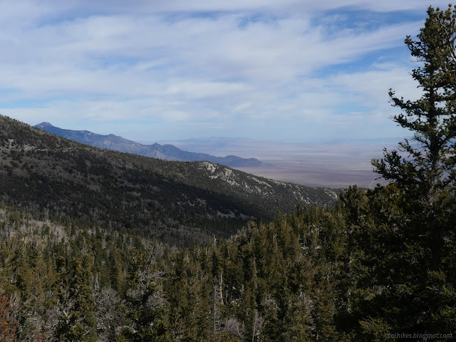

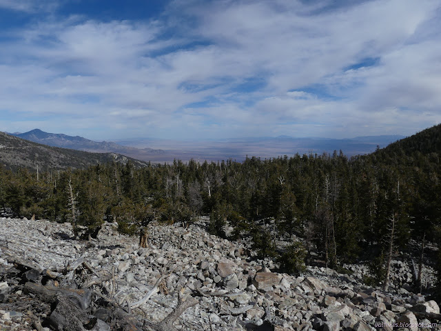

I decided to leave the interpretive trail for later when I got to it. Time to learn about rock glaciers!

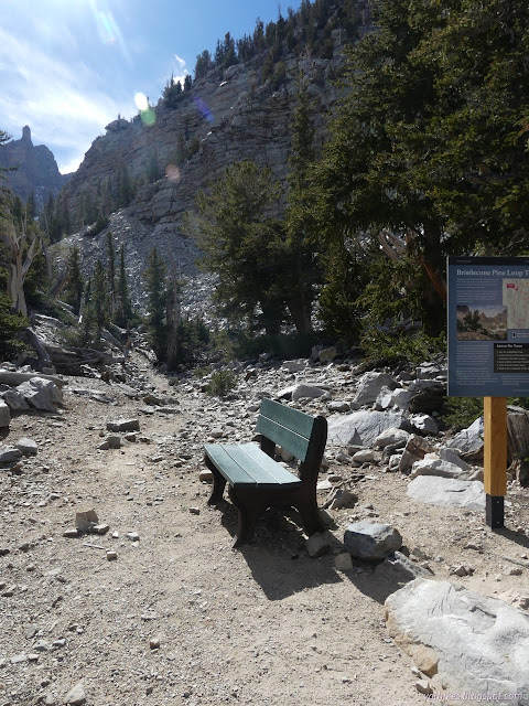
At a viewpoint with a bench is one more informative sign, this one describing glaciers and the rarer rock glacier. So, what is it? Basically, there's a layer of ice on the bottom and more holding the rocks together, so that it erodes away the land beneath like a normal glacier, but rocks above help to give it enough weight to move.
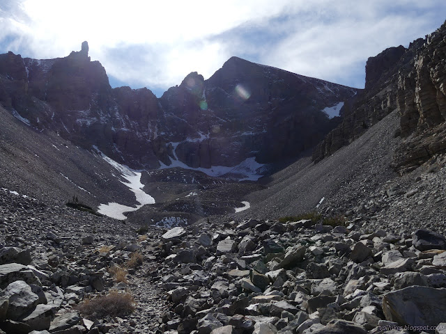
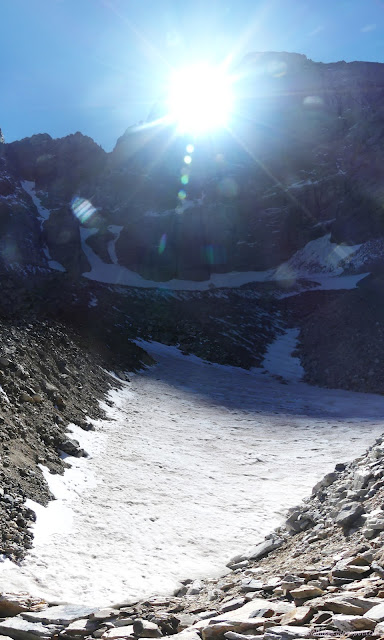
From the viewpoint, the trail continues across rocks to the very edge of the glacier, at least that's what the map says. It feels a little like the clutter of rocks on the way might already be on the glacier. It really is difficult to say where the edge is, at least with my tiny bit of knowledge from the sign. There are icy edges, but they look more like permanent snow rather than a part of glacial ice.
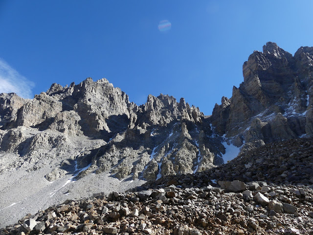
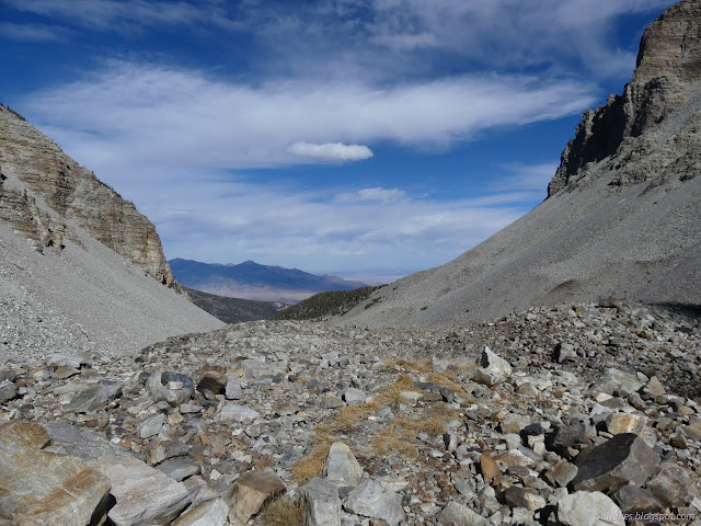
And then I headed down to the loop trail among the bristlecones, full of information. Actually, there's two generations of interpretive signs around the loop. There's new ones with colorful pictures and denser information and older metal ones presenting information in a more solid way to go with their more solid substance. There is some overlap in the information presented. Coming at it from the top, I do get the signs in the reverse order to that intended.
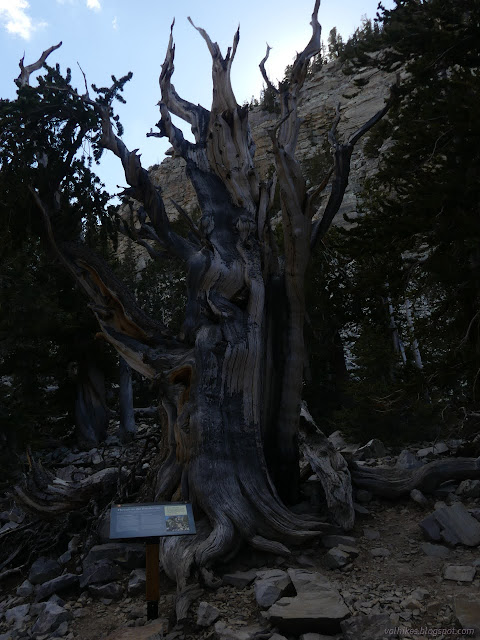
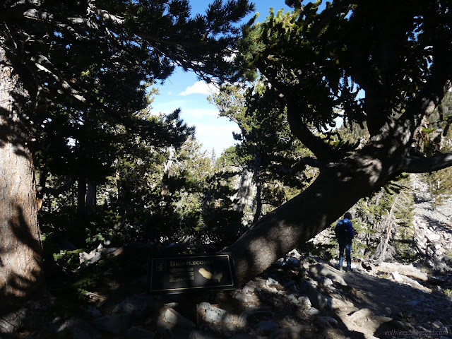
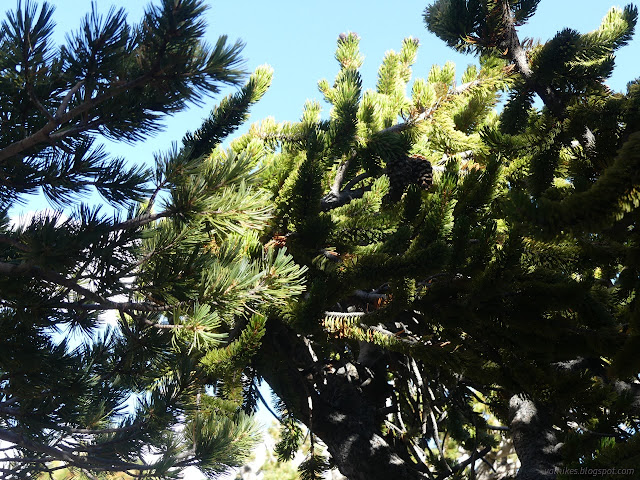
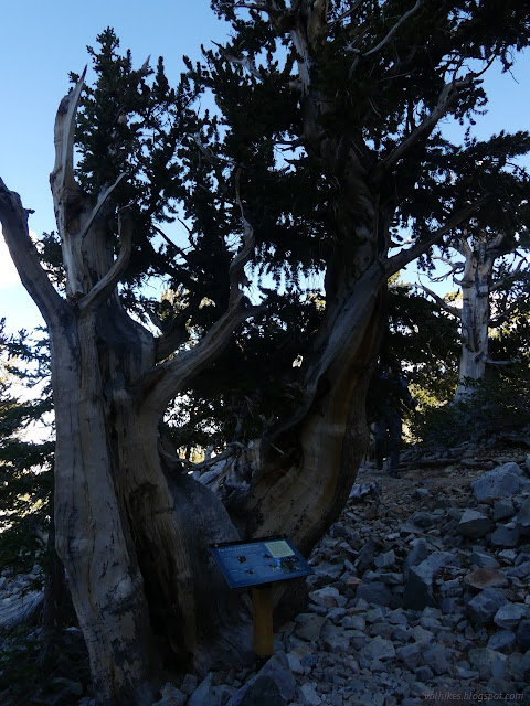
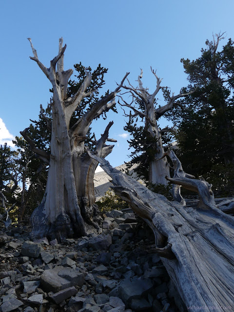
The afternoon left the sun glaring into my face for the rock glacier and the trees in shadow. It would have been better to go as planned, but you can't always get what you want. It's informative any time of the day. I headed down again, finishing off the Alpine Lakes Loop, then off to find my next stop.
*photo album*
©2023 Valerie Norton
Written 23 Dec 2023
Liked this? Interesting? Click the three bars at the top left for the menu to read more or subscribe!


Comments