Johnson GB: Johnson Mine, Pyramid Peak, and Baker Lake
Great Basin National Park
(redder lines, map link)
DAY 1 | DAY 2
I certainly needed a rest day after my short, but hard, trip up Eagle Peak. Since none of my backpacking food was sorted out, it was good to have that time to pre-make some breakfast mixes of couscous and spice and fruit and cheese for breakfast and discover that only one of my dried beans packets was in the car. Turns out not seeing it in the room doesn't mean it's in the car already. I decided to experiment with wasabi peas as a dehydrated legume. Then I had the time to weigh it all and decide that if it's 20 pounds, camera and all, I could certainly toss in a second coat. (Eagle Peak Campsites must be a cold spot because it didn't turn out to be any colder at Baker Lake, but one does expect a higher place to be colder generally.) I even had some time to write even if it wouldn't get posted until I stopped by the county library in Ely. Then I headed back up the rough and narrow, but still little car passable, road to its end where three possible trails awaited.

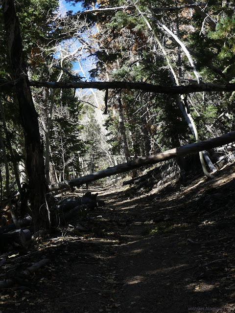
Great Basin National Park has a rather liberal policy for backpacking. You may not camp in the day use areas, the ancient bristlecone pine groves, or within ¼ mile of development or historic sites, and where you do camp, it must be by Leave No Trace principles. They encourage one to get a free permit (this may be mandatory for trips from the Baker Creek Trailhead) from the visitor center for safety and usage statistics. They discourage relying on finding surface water. My plan was to head up past Johnson Lake to Baker Lake, perhaps tagging Pyramid Peak on the way. Since Baker Lake is a lake, it seemed like a reliable source, but I would make every attempt to get water from one of a couple springs found about half a mile before getting to the lake. Next, I would travel the high country toward Washington Peak, expecting to tag it too, then down Snake Divide to return to the other side of the parking lot. This combines trails marked as maintained and not maintained on my park brochure. I had seen that maintained trails vary from raked to not raked and might have a tree or two down on them. I would learn that the unmaintained trails vary from clearly maintained in the last two years to likely never built. It's all part of the charm of the adventure, I suppose. I shouldered my 20 pound pack and slung the 1 pound camera around my neck and started up the Johnson Lake Trail, wondering what mining artifacts would be found on the way to the lake.
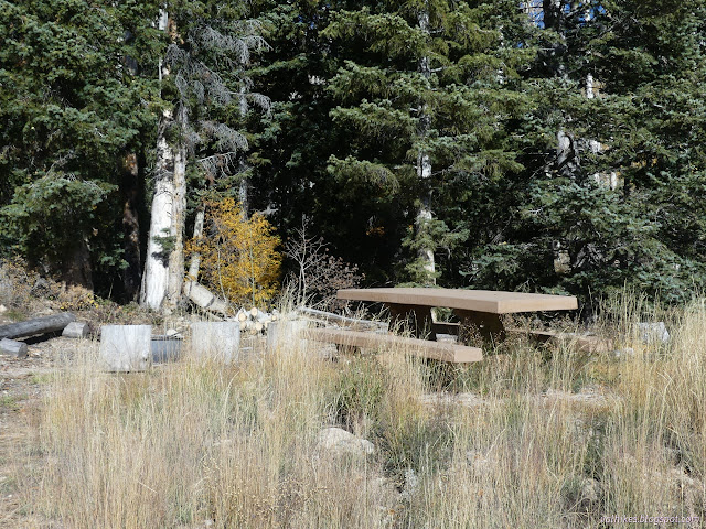
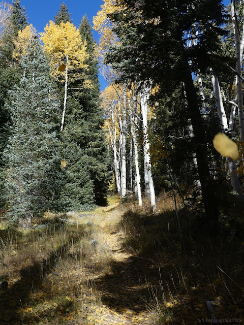
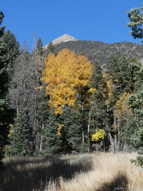

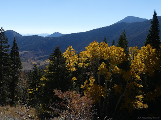
I found other hikers as I passed signed junctions with the trails coming from Baker Creek. The signs look new, branded with the silhouette of the southern Snake Range where the park sits. The destinations promise the first of the mining artifacts coming up soon.

And so it was. I came upon the Johnson Mill site. Much of it is still standing and some of it and other buildings in the vicinity have been restored.
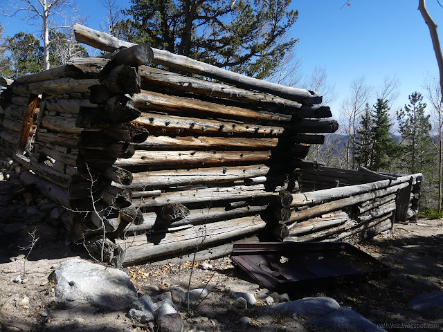

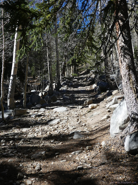
I admired the stables and wondered about various bits of rusting metal before turning and climbing again. The trail follows the old road and it is quite obvious and steep as it climbs from the mill toward the lake and more ruins.
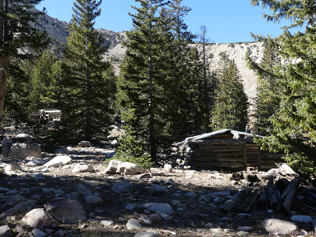
Just short of the lake, a building is marked on the National Forest topo. (The NF does not generally map parks, but this is an artifact from when the park was NF and, more recently, was somewhat surrounded by a thin layer of NF). There is another informative sign about what is a lot more than a single building. A boarding house and other buildings were scattered throughout the trees. No trail has been established to tour these artifacts, but I had a look.
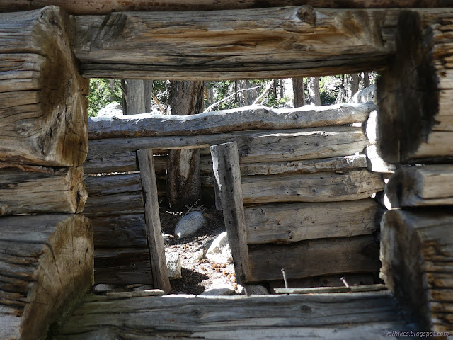
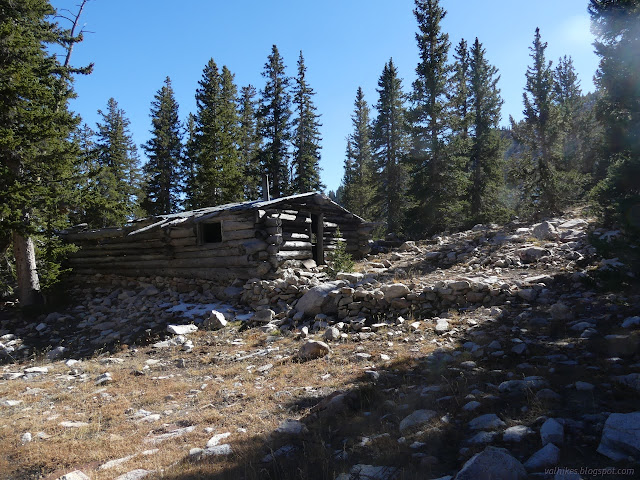
After a good wander around, I continued on to Johnson Lake. There is a spring filling it, so I found it shallow but full. The trail goes right past the spring just before the end of official maintenance. I got some water from it before moving on. My eye was caught by a cable hanging across much of the huge cirque, glinting in the sun. An old tram system still in the air.
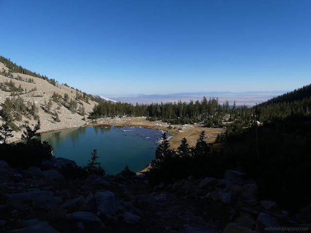
The lower anchor point for the aerial tram is near the trail, so it is easy to check it out. There's actually two cables and only one still stretches up to the mine above. At this end, there's also and motor and other parts of the tram and a cart hangs from that remaining cable.
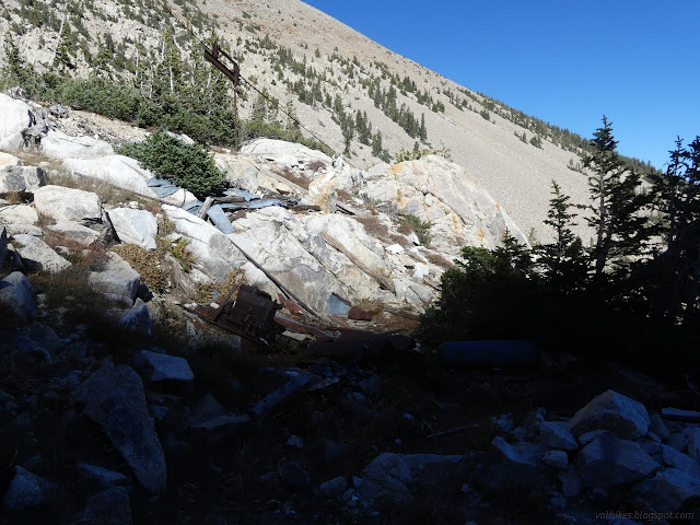

Up I wound on the trail. The road it follows continues on to the top of the tram cable while the trail turns the other direction. It looks like few people follow that spur. I didn't. I climbed to the huge saddle above.
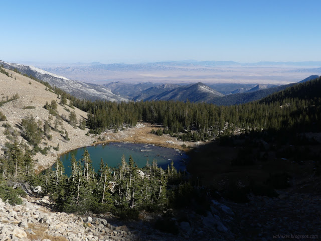
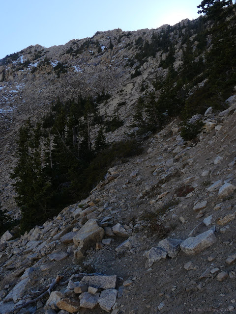
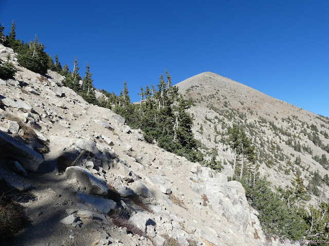
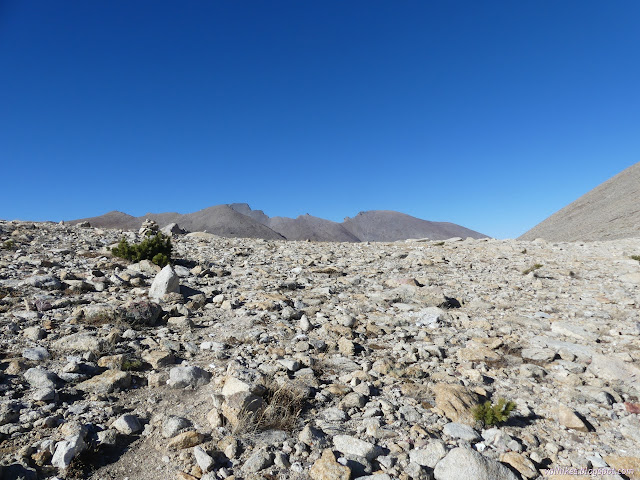
Upon reaching the saddle at the top, I decided I did have the time to seek the top of Pyramid Peak, an extra 600 foot climb. This is a popular off trail route and trails are forming up the side of the mountain. I dropped the heavier portion of my gear next to a large cairn and old prospect before picking a trail to follow upward.
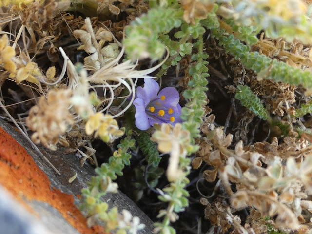
After a bit of chugging, there I was, at the top.
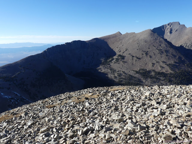

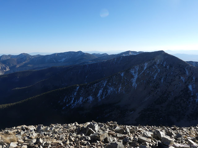
I had to wander down the edge a little for the best views in each direction.
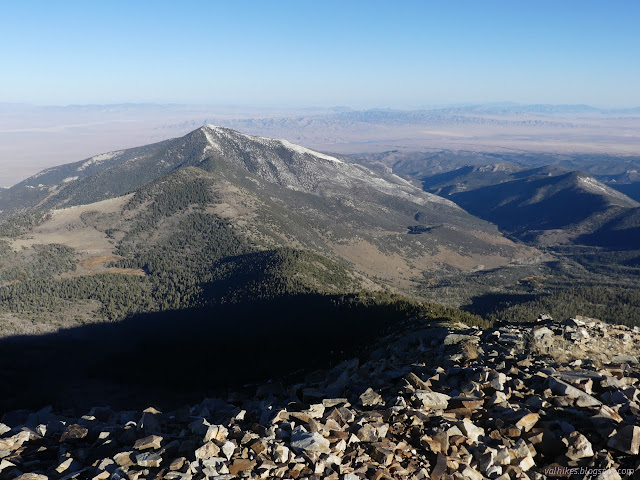
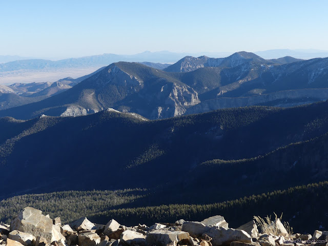
After a good basking in being at the top, I headed back down again. It wasn't quite the same bits of trail, but the bits don't totally connect. I grabbed my gear once more and headed for Baker Lake.
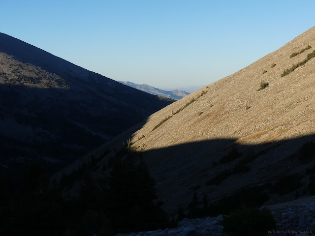
I found water at the first marked spring, which is the one closest to the trail, and grabbed enough for camping. Since I'd be back by it, I could leave getting the portion for hiking in the morning.

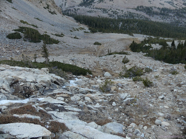
I decided to have a look for the other spring too. It didn't seem to be where it was mapped, but the flow of seasonal water from it that is also mapped was flowing, too. I could have carried my camping water slightly shorter, not that it mattered.

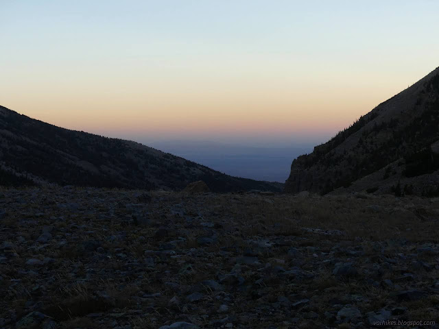
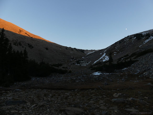
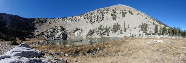
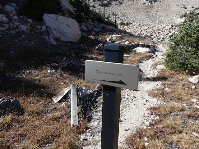
I arrived at the lake, where another sign pointed the way along the "Johnson Lake Route" on this end. I found the lake very low and when I smelled it, I was very happy I'd found other water to drink.
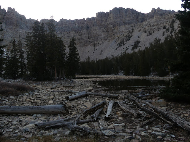
The dying light made finding camp a little hurried and the ultimate place was a bit compromised although well used and with a nice, flat spot for sleeping. There was also a pair camped at the south side of the lake. I wanted the north side for sun in the morning. For the evening, I had supper (with hard peas even when the 10 minute cook pasta was soft, so those wasabi peas aren't so great as dried legume) in the dark under lots of stars, some reflecting in the remaining water before tucking in for the night.
Same trip, next day ⇒
*the photo album*
©2023 Valerie Norton
Written 20 Dec 2023
Liked this? Interesting? Click the three bars at the top left for the menu to read more or subscribe!


Comments