Snake Creek vignettes
Bristlecone Field Office BLM
Great Basin National Park
(map link)
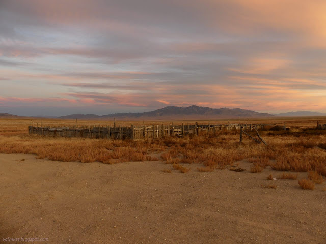
I started the day on a patch of vast BLM lands that happens to have a corral, which was a surprisingly quite place to sleep but confusingly labeled "Snake Creek Campgrounds" on my offline OpenStreetMap. It made for a stunning sunrise and an easy start for a day exploring the area of the actual Snake Creek Campsites that Great Basin National Park maintains as free camping for visitors along this unpaved road.
not a cave
The road is very nicely maintained as far as the state fish hatchery and some private property just before the park boundary. At this point it gets rougher and narrower, but still suitable for my go-cart of a small car. While I had some thoughts to playing with some new-to-me mapping software to try to improve the map, my main goals were fall colors and a stop by a miner's cabin along the way to some shorter hikes. My first stop was at a mystery parking area that was coincidentally near what looked like a cave opening. It wasn't. I was having a rather slow start to the day.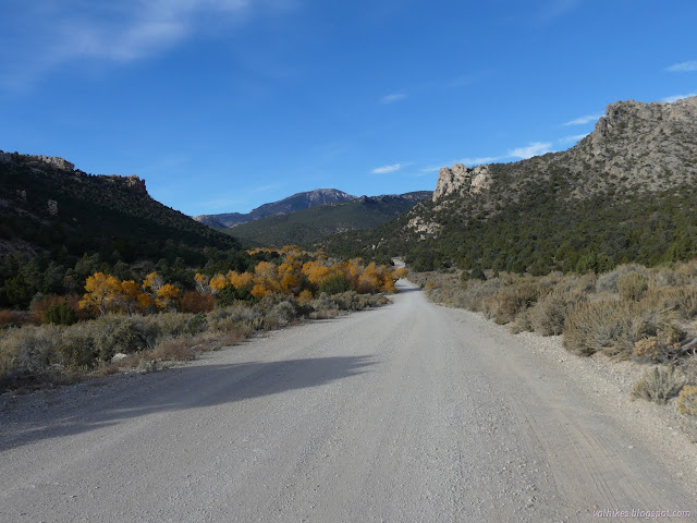

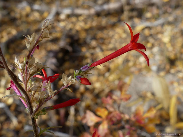
I had to take my shoes off for the creek crossing since I wasn't really willing to get them wet for so brief a crossing, all to find out there isn't any more to that cave than what can be seen from afar.
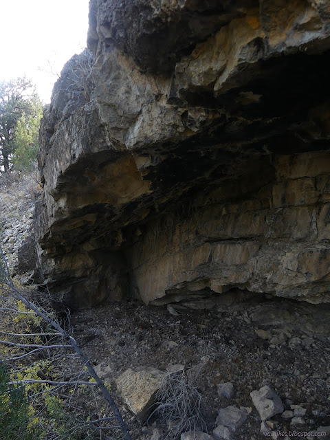
So back across and off to the next thing with a renewed belief that what I'm really looking for is fall colors.
Pinnacle Group Campsite
The valley is long and wide and has a long line of cottonwoods and aspens that are the trees producing the fall color. I stopped here and climbed a bit trying to find the perfect lookout point to take in those trees. The morning sun was rather uncooperative.
I ultimately settled upon a fin of volcanic rock to take in the valley and, indeed, Snake Creek.


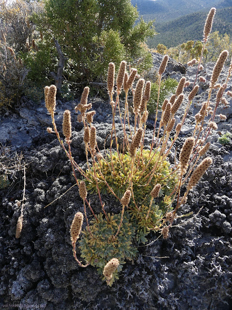
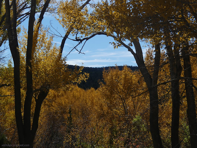
Bonita Cabin
There is no road sign for the miner's cabin, but there is a parking area with an interpretive sign next to it.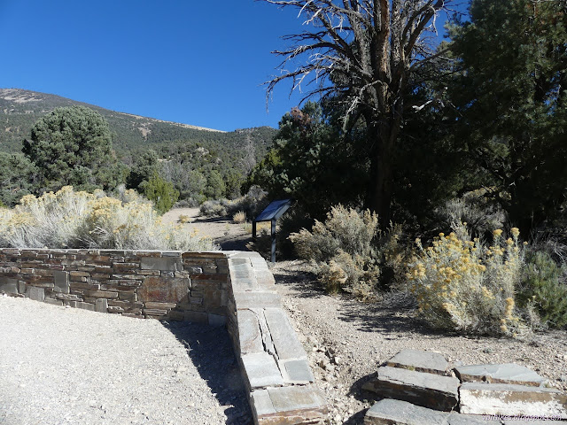
The sign shows photos from the 1950s, around the last time the mine was in use. Follow the old road a short distance north and there is the cabin.
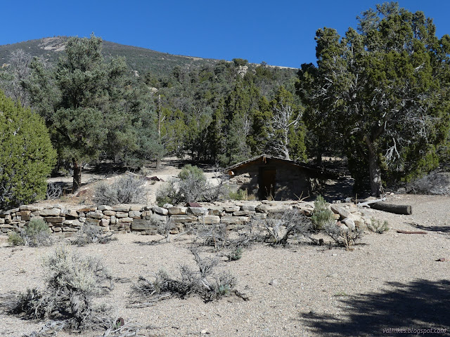
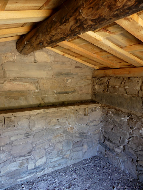
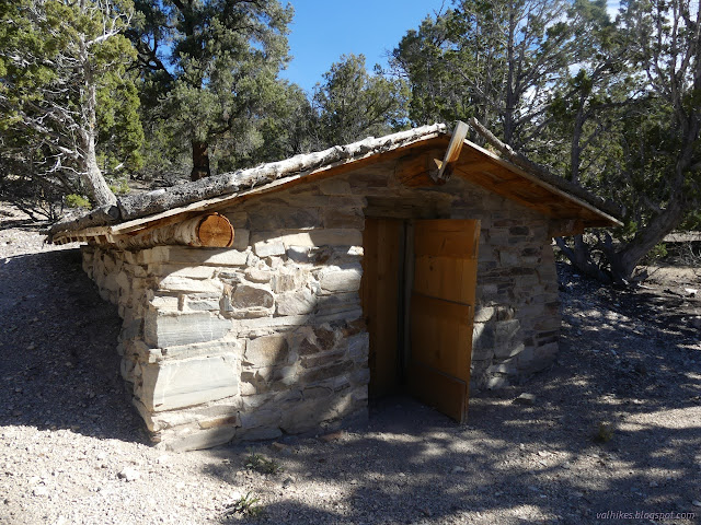
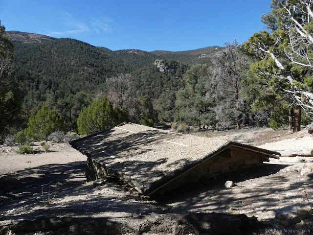
The mine was tungsten, which has a highly variable price leading to highly variable fortunes for those trying to mine it. It is somewhere above the cabin, so I continued to follow the now very faint road north, up the canyon. I didn't find what I was looking for.
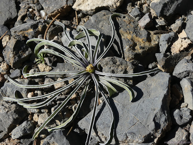
When the mine flourished, there were a lot more miners than the family that lived in that small cabin. Those usually lived in a camp on a flat across the creek. I decided against crossing it again to try to see what one may find over there.
From here, it was on to the little hikes.
*photo album*
©2023 Valerie Norton
Written 18 Nov 2023
Liked this? Interesting? Click the three bars at the top left for the menu to read more or subscribe!


Comments