Snake Overlook and Dead Lake
Great Basin National Park
(map link)
My goal for this short hike was really only to follow the Snake Overlook Loop Trail (1.5 miles total, 370 feet of gain) while the trail up to Dead Lake (1.9 miles to the lake, one way, and ~1300 feet of gain, the listed 1561 feet of gain is to its intersection with the Johnson Lake Trail) would make a good start of a short backpacking trip. Still, there are actually two trails that could be used for that start. The signs at either end of the parking lot describing those trails seemed to indicate there would be more interesting mining history along Johnson Creek. I was starting to question my plan already at the start. All of the trails follow old mining road and the signs warn that this is sometimes rather steep for a more strenuous hike than one might expect. They also warn that water is unpredictable and you should carry all you need. I expect it means if you are backpacking too.
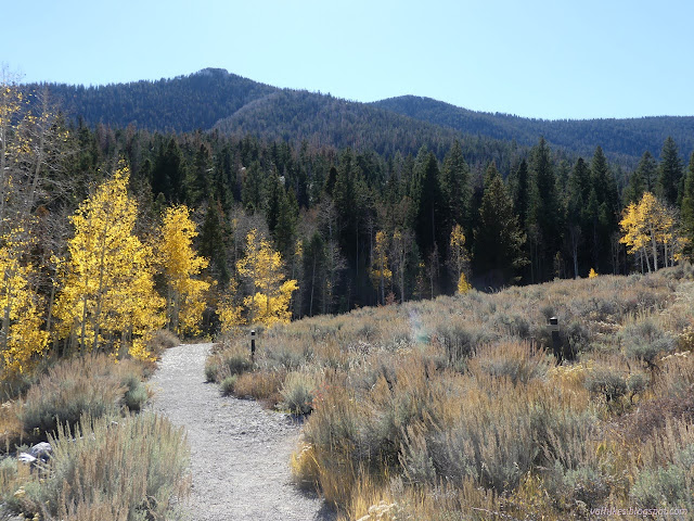
I started out from the south side of the parking lot where both the Shoshone Trail and Dead Lake Trail start. Dead Lake quickly branches off to the right and Snake Overlook Loop Trail branches off to the left about 0.2 miles along. This is also the route to follow to get to two of the three walk-in sites of the Shoshone Campsites.
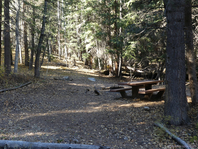
The road forded the creek directly into one of the sites, but we walkers get to use a bridge. The road continues past the two sites and when I got to the split for the loop, I chose the right side again. This got me quickly to a bench.
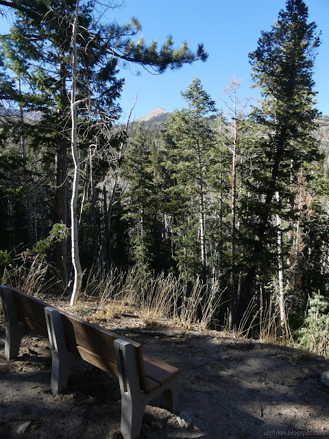
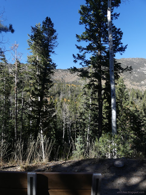
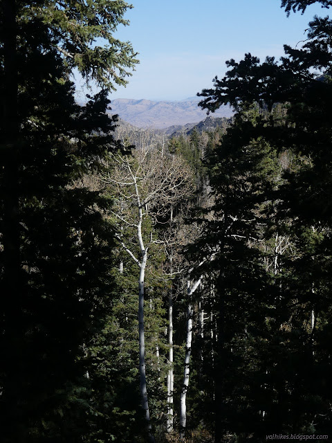
The bench with its somewhat obscured view is the only indication what is officially the viewpoint. At least I guess that is it. There are a few other views to grab while continuing around the loop, which is trail rather than old road after the bench.
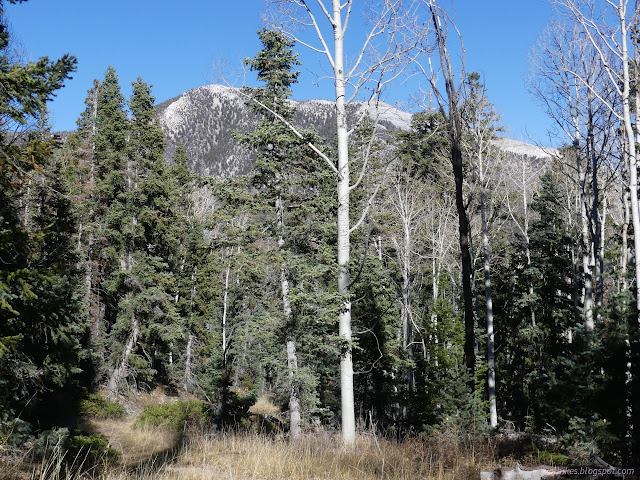
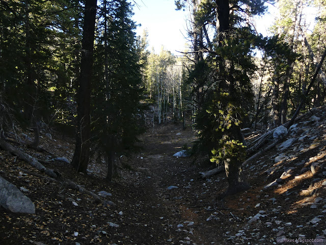
And then I was back around, and then back to the walk-in sites, and then back to Dead Lake Trail. I was disappointed. I decided I had time to climb to the lake. In reality, I would have to hurry a bit, especially if I wanted any light to still be hitting the lake. So I did. This part of the trail was not recently raked and even had a log or two to hop over.
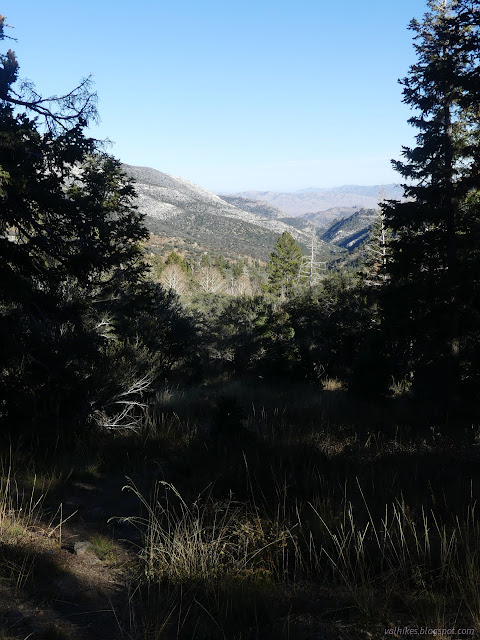

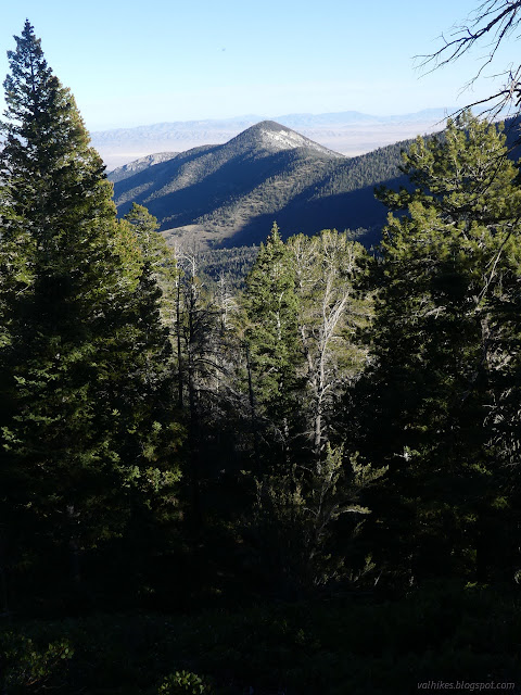
I had been hearing water off to my right for a while when the majority of the climb was done and the trail turned to meet it. This is a different stream than the one beside the two walk-in sites. It was narrow enough to jump, but also had a nice bit of bridge for the crossing. I only had about a quarter mile to the lake.

The trail likely leaves the old road here and there, and I think it turned off just before the lake as the trail dips into what looks like it could be a wet basin sometimes. There are a few spots that have been used as camps in that area.
There was a little light still on the lake as I arrived! Okay, not quite as much as needed to really see it well. It is a tiny lake, but it is not dead. (I would still recommend water from the stream instead.)
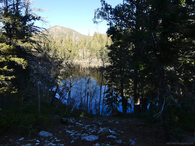
I continued along the trail past the lake looking for a better view of it. Just before leaving it, there is a very short, signed spur to visit it. I made my way along this before walking around the edge of the lake a little. That the lake was full of life was evident as I passed along the edge.


I climbed back out of the lake basin where I thought the old road had been going, but found not much more than another site people use for camping. Then I headed down again. I was still in a hurry, now racing dark, particularly since I had to find a camp again. I didn't want one of the shaded walk-in sites. I got the last of the Eagle Peak sites, which are the next ones down, with just enough light to plan where the pieces of camp went.
*photo album*
©2023 Valerie Norton
Written 18 Nov 2023
Liked this? Interesting? Click the three bars at the top left for the menu to read more or subscribe!


Comments