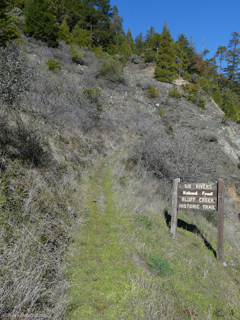
Bluff Creek Historic Trail
Six Rivers National Forest
DAY 1 | DAY 2(map link)
Bluff Creek Historic Trail gets my attention as I zoom by because it is clearly signed to be visible from the road and the trail is obviously used and in good shape. Also, why is "Historic" stuck in there? (Besides the obvious, the Forest Service simply says, "Gateway to Bigfoot Country", which doesn't seem particularly unique along the Bigfoot Scenic Byway.) It doesn't get my attention when I'm looking at a map because it just offers about 1.5 miles of connecting the highway to Slate Creek Road, a paved road that leaves the highway a short distance northeast of the trail. However, further along in the same direction and connected by an unimproved road is "Wright Place (site)" which sits next to Bluff Creek. The trail is numbered, the road is not. While it is tempting to think that an old road is bigger and therefore more likely to be passable, it doesn't really work out that way. The whole of the route is about 4 miles. There's only space for a few cars next to the trail, but there's a huge turnout on the other side of the highway for the river access.
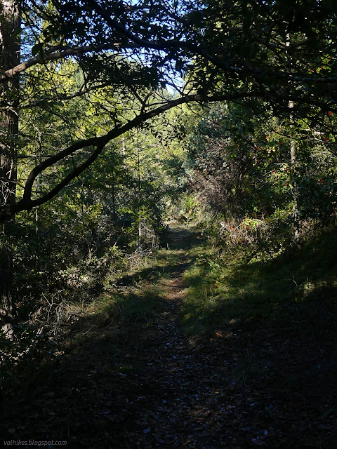
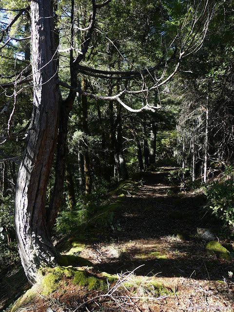
I grabbed up the gear that hadn't gotten used properly earlier and got moving up the beautiful trail. It did have a little bit of short green grass growing around the middle. I was slowed down on my climb by the challenge of finding the perfect spot to watch the waters as Bluff Creek pours into the Klamath River.

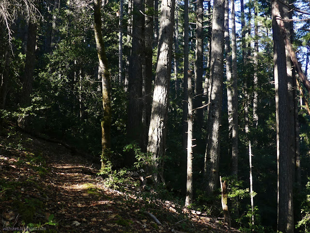
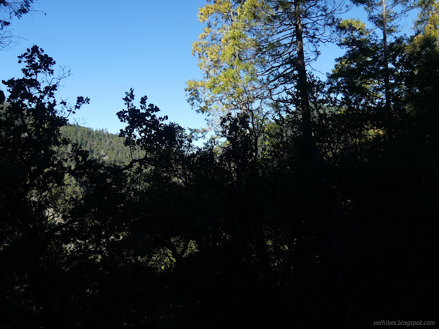
I passed mysterious yellow ribbons on trees also marked with yellow paint, then more ribbons. They didn't look likely to be navigational. The trees quickly thickened into a cooler forest although the area was still fairly dry. There was one tree across the trail, but I would have had to reach up to touch it.

I rounded a ridge and the plants changed as the area became much more moist. And there it was, a spindly tree I had to actually step over! There were four trees down across the trail, but one was a madrone sitting on the ground on next to the trail then arching overhead high enough that I didn't have to duck before coming down beside the other side of the trail.
The trail encounters an old road with some more yellow ribbons just before finishing at a large turnout. It would work as a dispersed camping spot so long as one is not bothered by the derelict trailer at the far end. I poked around, then started down the road. It clearly didn't get much traffic, but was easy enough to travel. Unfortunately it had a distinctive southern direction and I was looking for something going north.
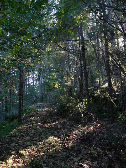

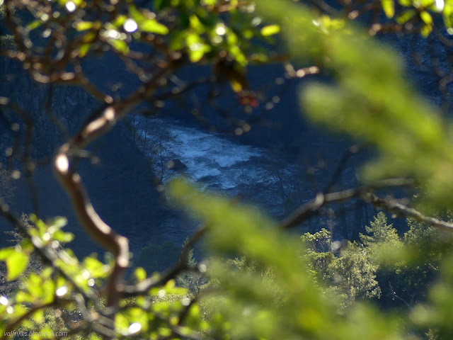
I returned to the end of the trail, noticing the knee high nude poison oak right at the end of the old road, and made a better search for the continuation of my route. Unmarked, but much better used, I found an old road heading much more northerly. This was smooth, fairly level travel giving me views out over the canyon with Bluff Creek roaring far, far below.


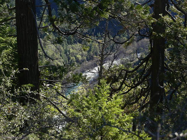

I came upon a dribbling spring and then a piped spring. That's probably the reason for the maintenance, but it went just a little bit further to a point with rocks stacked up across the old road directing the hiker out to the edge and a grand viewpoint.

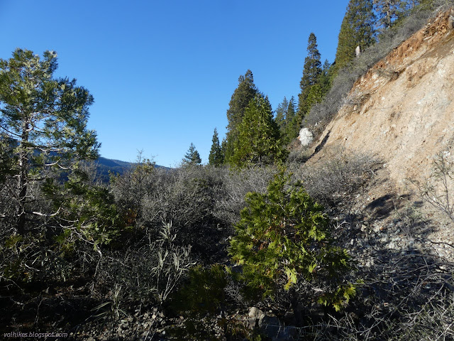
Of course, that wasn't my destination, so I stepped over the little rock wall and turned the corner to find the buckthorn. There hadn't been much ceanothus up to that point, so I threaded my way along the thin spot as it plucked away at my new mat. Past it, a bunch of primarily incense cedar trees were growing. There is distinct trail along it, but it was quickly clear that those using it aren't as tall as humans. I could see the next band of ceanothus after the trees. I returned to the view point to ponder if I really wanted to do 1.5-2 miles of that.
I could easily make the pack swallow up my mat. In fact, I've done it with a thicker mat and a similar sized pack before. I didn't already have it that way because getting things balanced would be a challenge if I leave it rolled up tightly. By the time I'd gotten to thinking about that, I'd become enamored with the idea of a south facing site not in the bottom of the canyon. There's plenty of room right there at the end of the trail and I'd just passed water. Wright Place looks like it should have a fair bit of light and warmth too, but this definitely did. It was still a bit early, but one does get tired of pushing through things quickly. I grabbed up my water bags to get on with gathering water from what is left after the piping. Shadow fell across me by 4PM.

Saturday
The new mat on top of the inflatable one made the set more comfortable and it didn't have that feeling of being just a little too cold even as the morning started just around freezing. It does get scrunched up and cause gaps with the quilt, which isn't optimal. There had been a lot of dew, even high above the water, so I was glad I'd put up the tent.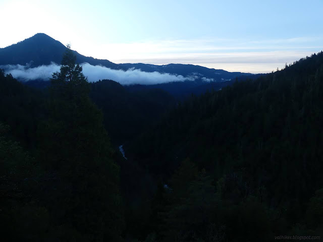

The sun didn't take all that long to arrive. It came up near a low point. It didn't do a very good job of drying out the tent, though.

I waited around as long as I could stand and packed up the tent wet. I headed back. I was at the junction again in no time.

I decided to try the old road out on the way down. It was fairly open and had also had a little bit of maintenance to keep it clear. Some of it was even obviously after it was no longer a road.
The road seemed to split, but the right side was choked with dead manzanita. Those yellow ribbons were there again, this time looking like they were navigational. They went down the clearer left side, which suddenly got rough and steep. There was one more yellow ribbon, and I followed the old road, now clearly without any use or old maintenance, up again to a saddle and its end. All that was there was a widening with a post in the middle.
It was either going to end or get me back in a different way. So it ended suddenly. I looked around to see if I'd missed something or if those yellow ribbons had some suggestions. They didn't. The area below was fairly flat and open and the trail nearby, so I just picked a route and went for it. There was a short, steep bit to get to the flatter area and another short, steep bit to get to the trail, but otherwise it was easy. Besides being different, the old road didn't offer much.

So, at least with that trip I got to stay out.
*photo album*
©2022 Valerie Norton
Written 22 Jan 2022
Liked this? Interesting? Click the three bars at the top left for the menu to read more or subscribe!


Comments