Posts

Showing posts with the label fire lookout

Last Camp: Hammerhorn Mountain

Image
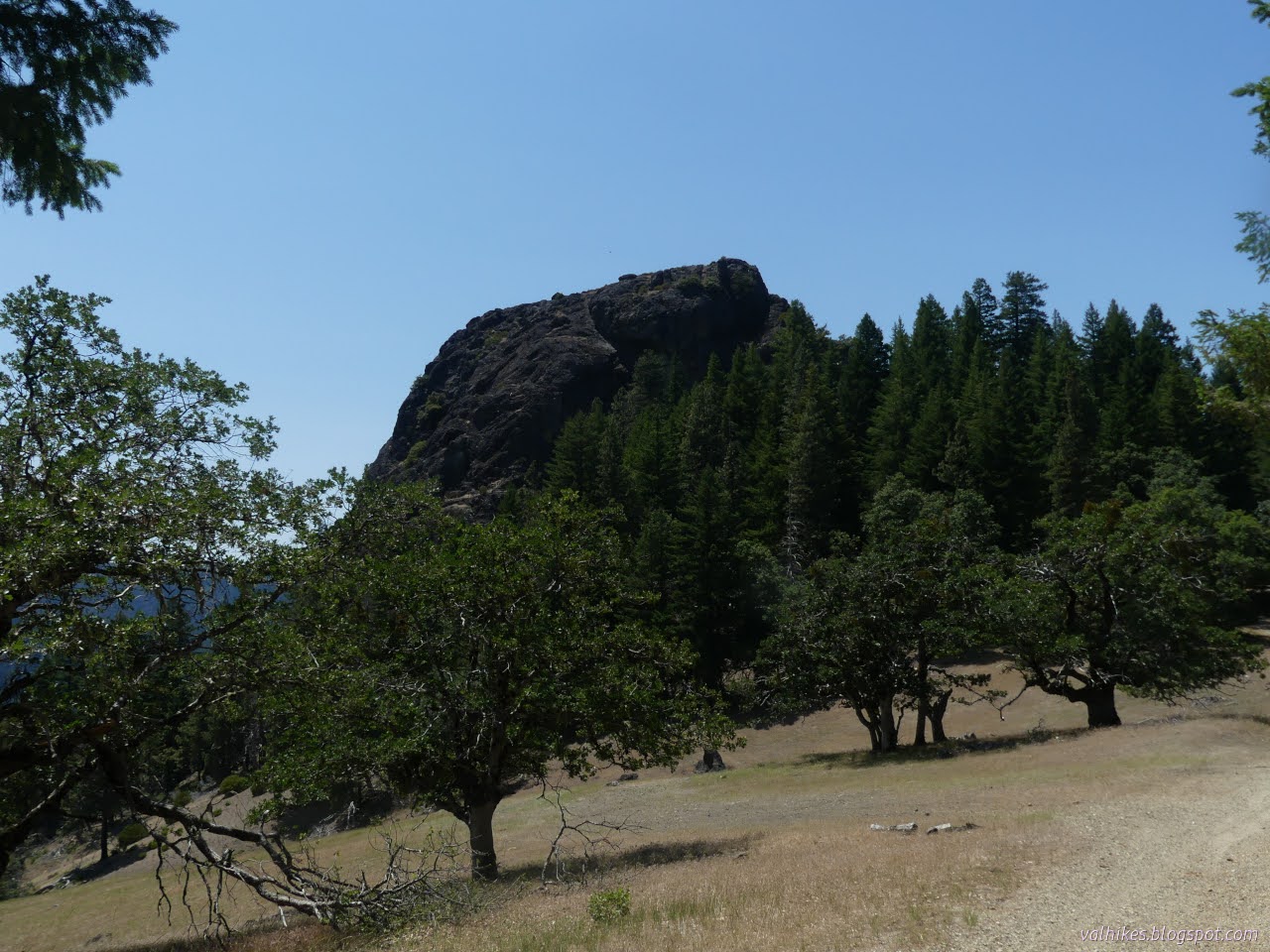
Mendocino National Forest DAY 1  |  WORK DAYS 2-3  |  DAY 4  |  WORK DAYS 5-6  |  DAY 7 Yellow line for day 7. Click for interactive map The last day and we were heading back to Green Springs, then drive on out. It was hot. We figured we'd be wishing for that cold that we had on Monday. I don't think we were quite there, though. We were relishing shade once the day got into afternoon. Leaving Last Camp. Some gear left (far left) is for the mules to pick up and some for the next group to use. Over the ridge to the next valley south, Hammerhorn Mountain at the right. Further around to see Solomon Peak from the other side, or at least the ridge to it. Hammerhorn Mountain up ahead. There's a dip between it and the nearby ridge. I looked at the north side of Hammerhorn Mountain and wasn't sure where there might be a trail although we were told there had been one. It just looked like one would get to wandering in some rough st...

Cabins: Limestone Ridge and Cabin Peak

Image
Klamath National Forest Shasta-Trinity National Forest DAY 1  |  DAY 2  |  DAY 3 Brown and yellow lines for day 1. Click for interactive map I kept getting worried about this loop plan. Starting off at the eastern end of the Salmon Summit Trail, the far end of the trail that was a pushing, pulling, turn and press with the pack, swim through oaks until I got tired, and then turn south for some ridge walking and to visit an old fire lookout. From there, down to North Fork Trinity River and Grizzly Creek to visit a selection of old cabins. Once done with that, much climbing and then some ridge walking back. The trouble was we had no idea what shape the trails are in. In the elevation profile, I thought the one along the river looked iffy. Climbing up mysteriously alternates between good and bad. Getting out to the peak was recorded on Peakbagger in 2023, so that seemed safer. I chose counterclockwise because if we had to turn back, I wanted to have the peak ...

Black Rock Mountain Lookout

Image
Shasta-Trinity National Forest interactive map link Birthday hike! I thought I signed up for birthday work, but it's birthday hike instead. The crew had breakfast and headed up to the trailhead generally aiming to get to North Yolla Bolly Spring where the Yolla Bolly Guard Station once stood. The CCCs would be off somewhere else, it was just volunteers for the hike. Back at the West Low Gap Trailhead, but there's been a change in the weather. The low clouds are just about this high. Back to our "oasis" with trees and water. Once we passed the familiar, we were off to find Cedar Basin. There were lots of dips with incense cedars in them. Is this the one? How about this? There weren't many patches of whitethorn as encroaching as the one we'd been working on and none nearly as long. The trail is capturing water along one old forest now meadow. Rocking needed!

Hayfork Bally Lookout and High Point

Image
Shasta-Trinity National Forest Click for map My plan for this day was to hike up the East Fork Divide Trail and probably along the closed spur road of China Gulch since the trail is only 2 miles long. It should be a good bet as this is a class 4 trail. That's highly developed. National Recreation Trails tend to be in this class. It does happen to pass through an Inventoried Roadless Area, so no bicycles allowed. There are turnouts not too far from the bottom end of the trail. I parked south of the trail where there's a cut in the hill for the road, but that cut ended by the time there was supposed to be trail. There wasn't any trail. I climbed up to what could have been a 40 foot section of trail once, but there were no clues where to go next. It looked more like it could have been trail after I'd walked up and down it, but that got me no closer to two miles of hiking. I looked around a little more, found nothing, then threw up my hands and headed off for a lat...

Limedyke Mountain

Image
Shasta-Trinity National Forest Click for map I had the coldest night of the trip (at 35°F!) at Philpot and it was tempting to stay to try to wait out the two really hot days coming up. I had the 5 gallon jug full and a couple gallons extra filtered too and was done sitting about before noon. Plenty of time for a short hike up to an old lookout site, which logically fit in as the next thing. Much of the road is high in a parched, but somewhat tree covered, country. Passing through Indian Valley, I found out where all the long trailers end up. (And the road to there is not just paved, it has two whole lanes!) The turn for Limedyke Lookout Road (2N16) is just past most of free Indian Valley Campground. It's marked as being rough, but passable in passenger cars and no OHVs allowed. (I'm surprised by how many area roads are marked with the white line of licensed vehicles only on the Motor Vehicle Use Map in this area.) Except for a short stretch after Friend Mountain, ...

Philpot Waterfall and Plummer Peak Lookout

Image
Shasta-Trinity National Forest Click for map I needed water and hadn't been able to fill up at Hell Gate Campground (the first spigot was dry and the second added "dangerous" flagging), so I eyed the dry creek bed at Philpot with great consternation. Philpot was once campground, now signed as "Philpot Picnic Area", but returned to campground status again with a fresh "14 day stay limit" sign. I was there for the short Philpot Creek Interpretive Trail. Built after a fire to showcase the changes resulting from that, it now just showcases the decay of an interpretive trail. It finishes at a little waterfall, which keeps people coming back, and caused a bit of disappointment to mix with my consternation. However, it was a bit too cool in that pocket of land to believe the dry creek bed. A little investigation showed some water still remains. Basic signage at the trailhead in the campground. A little of the trail as it follows the water cours...

Mount Lassic Lookout and Goat Hill

Image
Six Rivers National Forest ( map link ) I stopped at the junction of Coffeepot (2S08) and Senteney Rock (1S07) to explore the area of Goat Hill. The motivation was largely to sort out if I've mapped the area properly, but had I paid a little more attention, I might have found another reason to do exactly this hike. As it was, I first wandered over to the far side of the intersection to where Coffee Pot has climbed from the Ruth-Zenia Road to see if there really is pavement. Down under all the pine duff there really is some smooth and hard pavement. Checked! Then I turned to the South Goat Hill Road (2S72), my actual aim ever so slightly north of the large intersection of good roads. This one is high clearance, but legal to drive. It was obvious no one has tried in a while. As South Goat Hill Road leaves Senteney Rock Road. Except for stepping over a couple tree trunks, hiking up this road was easy at first. It obviously got more use than 2S08C when it was in use. Just li...

Mad River Rock and Devils Backbone

Image
Six Rivers National Forest ( map link ) One goal I had when starting out on this trip was to meet Mad River Rock. I searched on this old lookout location once and found its listing on California Lookouts . They have an article from the Oakland Tribune about it. Visibility mappers (This is a job? Can you imagine?) located it and decided it would be the perfect point for a lookout. This rock that sticks up 200 feet from the ridge was scaled via a chimney. When they did decide to build a lookout, they decided it must be done quickly. The road was 2 days late, but the powers that be asked for it in 8 days, so that's not bad. Then the trucks rolled and construction happened including 230 wooden steps to access it. Today, the lookout is gone so perhaps it wasn't the Bestest Place Ever™ for one. The steps are gone. It's considered a class 3 climb, which is not all that hard but beyond what is wise for me to climb alone. Thus, I do not wish to bag this peak, but I would still...

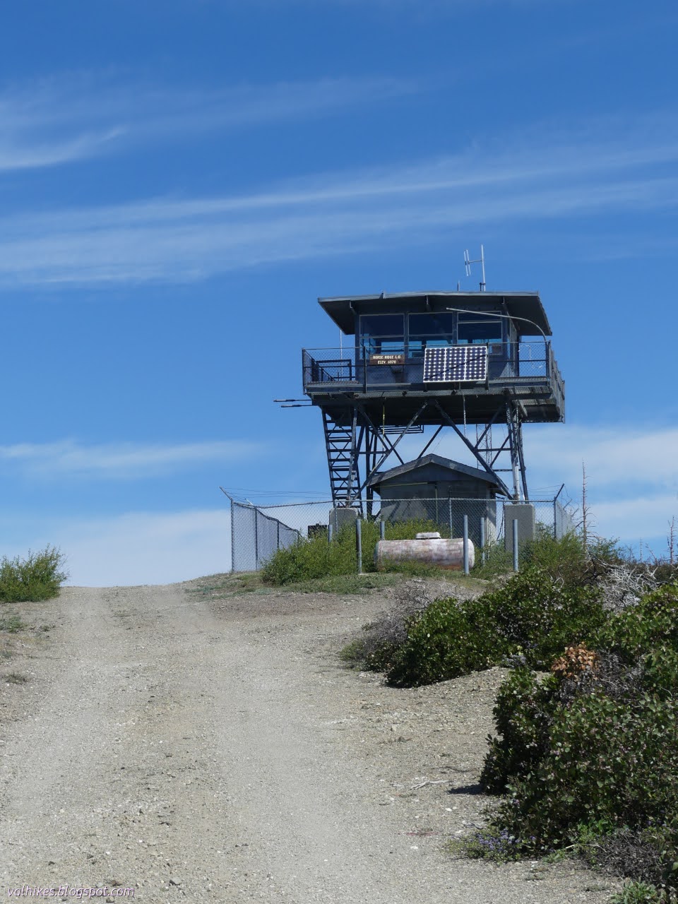
Horse Ridge Lookout

Image
Six Rivers National Forest Shasta-Trinity National Forest ( map link ) I had gone up Horse Ridge Road (3S12 and even has a little horizontal sign at the bottom of the road) and found a camp area without too many dead trees in the immediate vicinity near the first big intersection of roads. That gave me a little over 4 miles to walk to the lookout, so that's where I started in the morning. At the next intersection, there would be (according to the map) a trail option for a short way. At the intersection after, there would be a trail to the road at the top, leaving just a short bit more on road to the lookout itself. The area is still in the footprint of the Hopkins Fire 2020, part of the August Complex that burned over 1 million acres. A firefighter who stopped in the afternoon to talk and educate said there was also an incident where some fool set off the piles, but that fire doesn't seem to be recorded on Caltopo. Starting off the day on good, but narrow road. Trav...

Pickett Peak Lookout

Image
Six Rivers National Forest Shasta-Trinity National Forest ( map link ) I have had a several little hiking goals related to the southern portion of Six Rivers National Forest simmering away in the back of my mind and decided it was time to reach a few. The passing of an anomalous cold front seemed like a particularly good time to make a start on it. First up, visiting all the lookouts on South Fork Mountain. This is one of the longest continuous ridge lines in North America and it had four fire lookouts along its 40 mile length. The first two I visited were quite easy to get to as I drove along Forest Service Route 1. The one on Blake Mountain has been completely removed. Cold Springs Lookout has stout support timbers that have burned half away, but not much more. Depending on what map one uses, Pickett Peak should also be easy to visit with my little car. The older map shows the road is paved to the Pickett Peak Campground, but newer ones claim it is a high clearance road. (Ge...