Pickett Peak Lookout
Six Rivers National Forest
Shasta-Trinity National Forest
(map link)
I have had a several little hiking goals related to the southern portion of Six Rivers National Forest simmering away in the back of my mind and decided it was time to reach a few. The passing of an anomalous cold front seemed like a particularly good time to make a start on it. First up, visiting all the lookouts on South Fork Mountain. This is one of the longest continuous ridge lines in North America and it had four fire lookouts along its 40 mile length. The first two I visited were quite easy to get to as I drove along Forest Service Route 1. The one on Blake Mountain has been completely removed. Cold Springs Lookout has stout support timbers that have burned half away, but not much more. Depending on what map one uses, Pickett Peak should also be easy to visit with my little car. The older map shows the road is paved to the Pickett Peak Campground, but newer ones claim it is a high clearance road. (Geocachers indicate it's quite rough for the portion with pavement.) I decided to try via the hiking trail up from Bailey Canyon Campground. I actually expected it might not go all the way anymore and decided against calling and finding that out. Thus it was a little surprising to find that there's a large, dirt parking area just north of the Bailey Campground entrance across the Mad River Road from the marked trailhead. Marked is generally good.
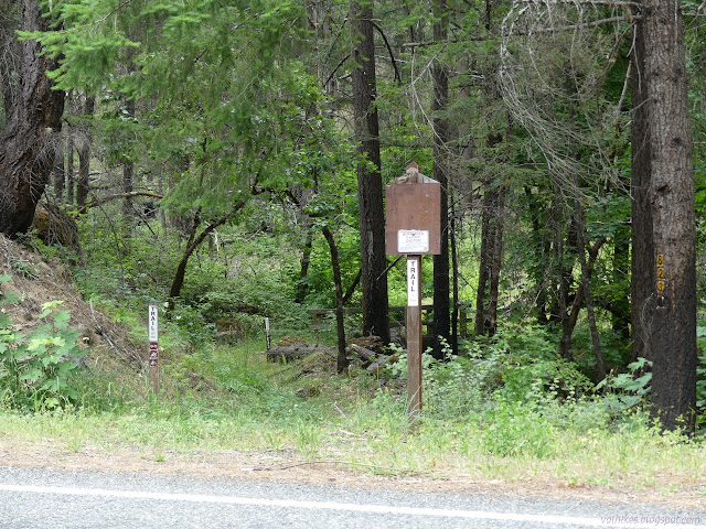
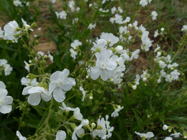
That is cheating a little since this is also a start for the Lake Vista Trail. A few feet behind the main sign, the trails split with signs, specifying only the trail numbers, pointing the way. So 7E29 (Lake Vista) goes off to the left and 7E33 (Pickett Peak) goes off to the right over a very solid looking bridge. So far so good. I crossed the bridge for a particularly nice floral reward, but trail was already confusing.
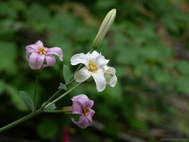
I followed some pink ribbons, but should have stuck with the invisible track through a large, cut up log instead. I'd have had to wade through some short poison oak, but then come to some nice switchbacks on good, wide tread. I had to fight my way up to it later instead. From there, I followed the very obvious trail bed that otherwise had very little indication of trail through area of burn. It burned in the Pickett Fire 2015 and again in the Hopkins Fire 2020, part of the August Complex.
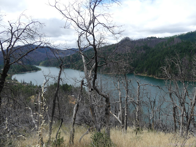
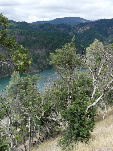
The cold front was proving to be quite chilly indeed. There was a 20% chance of rain and I got some faint sprinkling (often in moments that happened to be sunny) and a bit of wind at first. Higher up, I got faint sleeting.

The trail was pretty solid for about 1.8 miles. I did skip a thick patch of whitebark raspberries that threatened so heartily even the animals were going around. It turned upward through a somewhat flat area of forest and I had no idea where it went from there. The line on the Forest Service topo seems to follow it very well, so likely right about where it says. I found bits and pieces of trail above, but none had that big, wonderful bench of trail bed anymore. There was a lot more whitebark raspberry for anyone trying to stick to it, too.


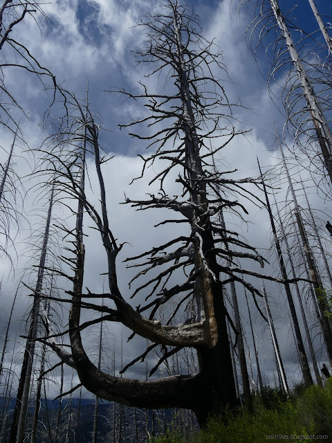
My feet seemed to find lines to follow from time to time. Some even had a little bit of trail bed, but there was none of that nice shelf like below.
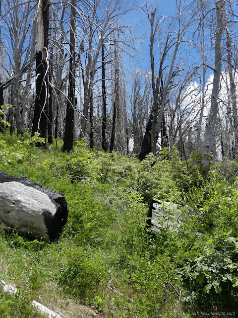

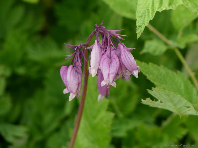
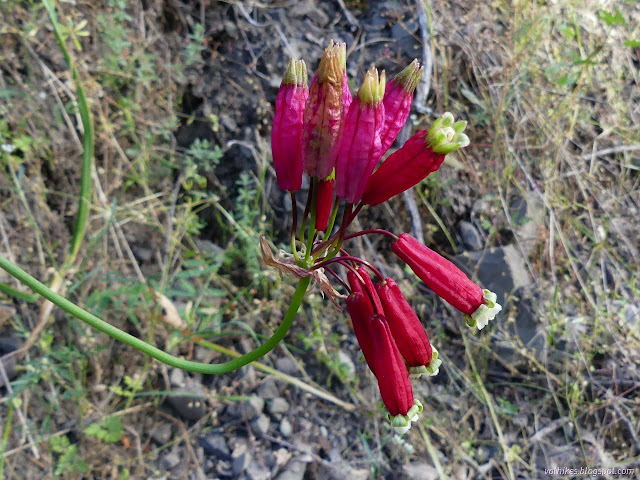
I had enough of walking a little too close to the raspberries, so when the faint possible trail turned to go back through a large patch, I turned to climb by whatever looked the nicest area. This brought me to a ridge full of bleeding hearts and on to a not half bad climb. The top was a walk across a particularly stiff and pointy ceanothus, but it was short and thus easy to handle on the way to the road above.
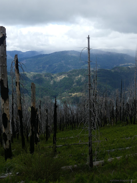

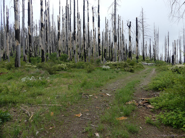
The main road across the top of the mountain passes below the peak with a rougher road passing over the top. There's some utility things also at the top, so you can expect a somewhat cleared road there, but there's two choices for that road. They chose the other one and I had a lot of trees to jump over once I'd finished not quite following the trail up.
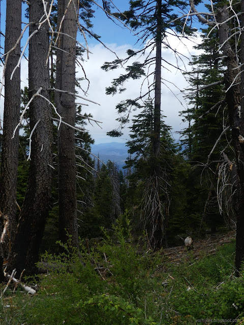
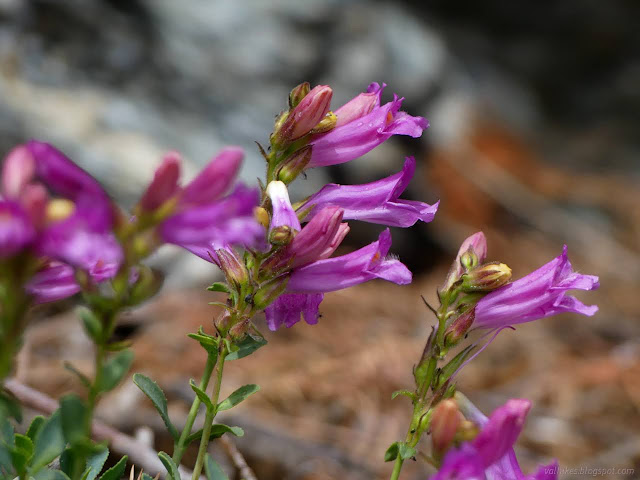
I got to the top and turned down a spur road because of course the spur road will go to the lookout. It doesn't go to anything but old fuel break and a bit of view out over Six Rivers National Forest. The lookout is right at the top, as I'd have seen if I'd just taken two more steps before turning.

The Pickett Peak Lookout is no longer in use, but it is still solid enough to visit. I dropped my poles and made my way up all those steps to the platform above, then signed the book inside, commenting that the trail could use a little work.


After the lookout, I headed out to the nearby cleared peak with a bit more utilities for a little different view.

Then I headed back down over all those logs once more.

I started down the trail again where it was signed for the top. This was already quite faint right at the start and quickly got fainter. I let my feet follow some lines, but eventually had to admit that there were a lot of equally possible lines that could be trail. Still, it was better than walking across the ceanothus and I didn't run into any big patches of raspberry on the way to the area I'd climbed up. From there, I sort of just went down the hill avoiding anything thorny.
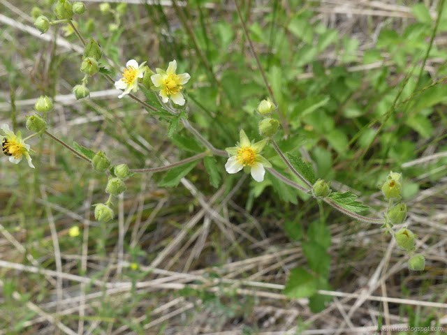
My feet found another line to walk which brought me into a green spot where I found a small, burned stick that had clearly been cut. Turning around, I found a fading painted blaze. That's not actually a normal trail marking around here.
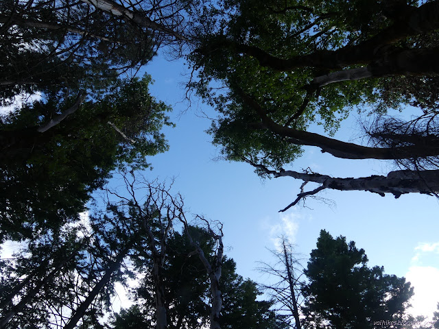

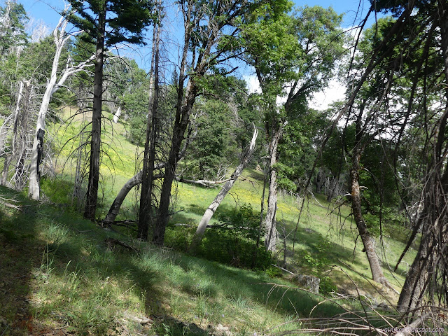


I was getting into area I should have been on trail again, but it wasn't proving very easy to find while coming down. One massive madrone served as a landmark where the trail turned, but more trail seemed to continue on past the tree and into the gully and meadow beyond.

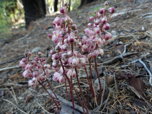
Soon I got back on trail again except for avoiding the clump of raspberries. There are more vicious sorts, but it's more than enough for me.

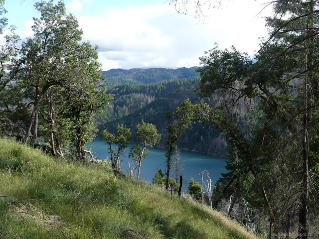
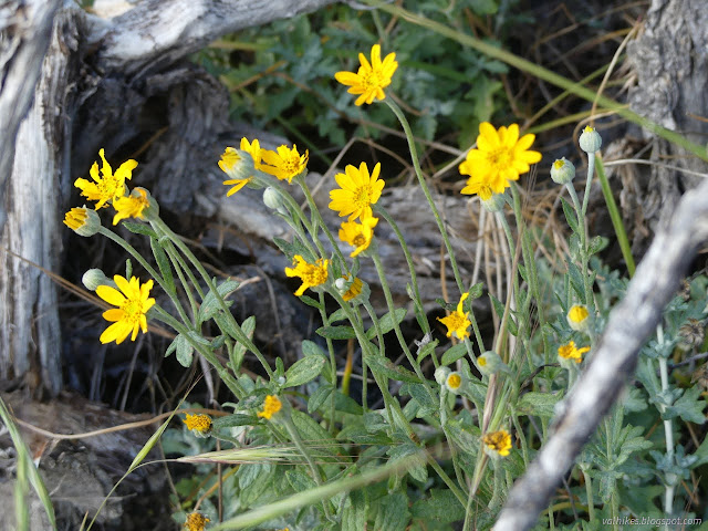
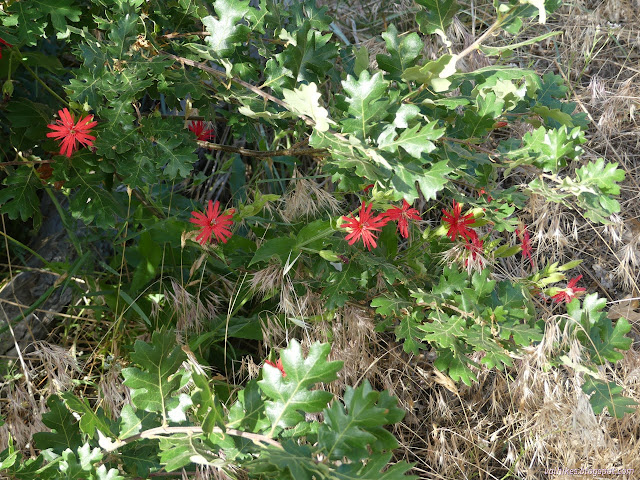
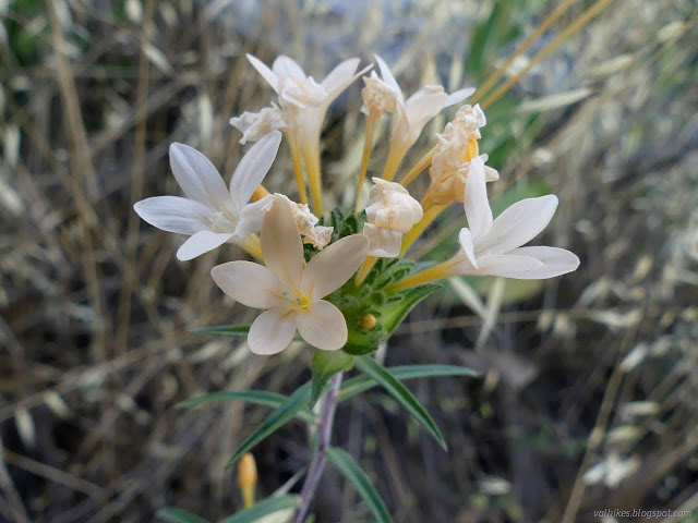
Having found my way up the hill and safely back, I had to go off and sort my camping arrangements. Besides the raspberries and ceanothus, there had also been a few spiny current to reach out for a stab. But there is a way around most of it.
*even more photos*
©2023 Valerie Norton
Written 3 Jul 2023
Liked this? Interesting? Click the three bars at the top left for the menu to read more or subscribe!


Comments