Mount Lassic
Six Rivers National Forest
(map link)
Mount Lassic actually has a trail up it, I just didn't know where. It was built (possibly by California Department of Fish and Wildlife, but still official and maintained) but not drawn on a map nor described except that its purpose is to move feet away from the rare lupine that grows over less than 4 acres in the whole world. All but a garden sized plot is on this mountain. I wanted to visit it, but not to stomp across its whole territory. (Also, I made really certain that my shoes were completely purged of any seed before arriving in the area. After Clover Gulch, that was a challenge, but worthy.) I decided to start off on a small trail I found by my parking. It was minimally flagged and marked and probably not the one meant for the public.
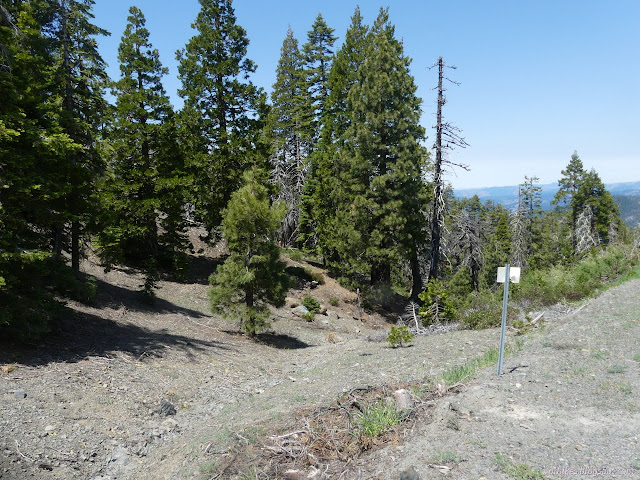
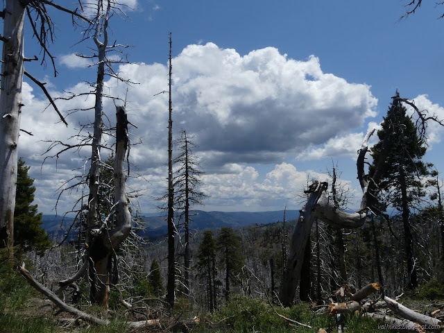


The trail got scruffy and I transferred to another one. I was still keeping low on the mountain, but wasn't feeling in any sort of rush. I only had three little hikes planned for the area and then my trip was done, and this was the second already. I still had two days still to be out and plenty of food and water for it! Lolly-gagging is the way. Wander up, wander down. Check the watery places, of which there were more, and the dry places.
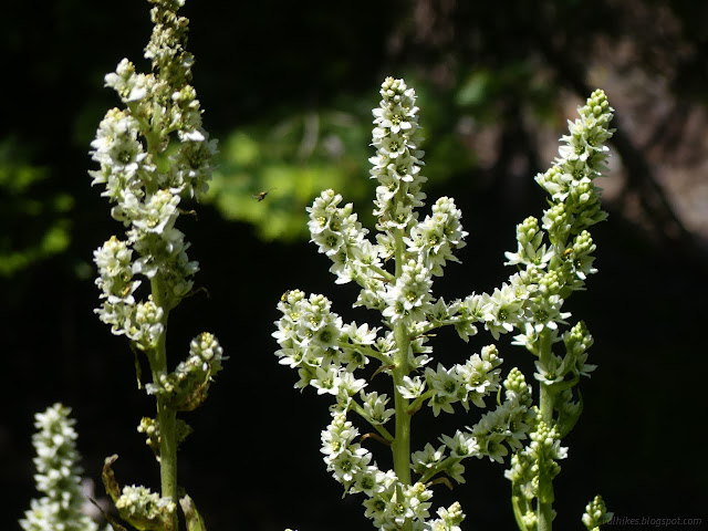


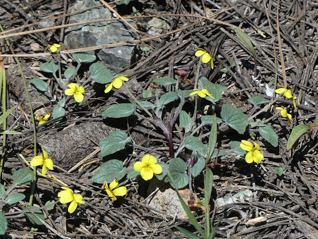
Eventually, I had to abandon the trail I was on due to faintness. Maybe it got to where it was getting. I wandered upward into what I thought were the lower fringes of the zone where the Lassics lupine lives, but found nothing in the area. I watched my step. I don't want to step on the other plants struggling in this sparse environment either.


I ended up working my way around to the far side of the peak where there is a snow drift still. Fish and Wildlife mentions the snows up here and when they melt. The latest snow ever recorded was this particular patch that lasted all the way to June 22 in 2011. That has been beaten and in several locations this year.


There I found the trail marked with ribbons but not really needing it. It comes from around the south side of the mountain and makes a switchback in the snow. I went up through the brush to a higher ribbon, avoiding the snow, then followed it around to the top.

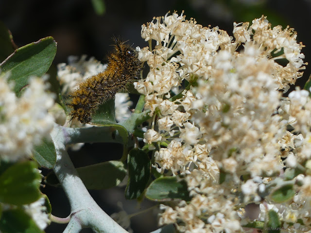

At the top, I didn't have to look hard for the station marker. I actually wondered if it was some piece of an old fire lookout when I first saw it. (While there was a "Mount Lassic Lookout", it was placed on Goat Hill to the south.) There is a bolt in the top of it and a single reference pointing at it. The description says there should be another in line with King Peak (the one on the Lost Coast) and while I picked out the shape of the peak, I didn't find the marker in line with it.


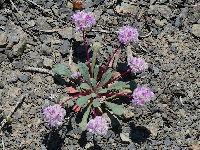
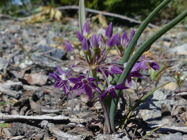
I went wandering around the northern side of the peak. There were plenty of flowers making short, colorful spreads on the rocks, but in the blue of mountain blue penstemon and the pink of one-seeded pussypaws. Then I spotted the cages over tiny lupines. Not a one of them was even budding. It's early in the typical season and the actual season is set by when the snow melts. It'll be a very late season indeed this year. I retreated from the plants quickly.



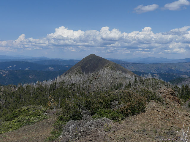

I took the trail down the mountain. It didn't cross enough snow to justify not taking it up, although it did cross some. At the saddle, I popped over to see some lower elevation plants, but it was the same along the well established trail there. There are plants in cages, a few roaming free, and nobody is thinking about flowers. I have failed to find blooming Lassics lupine. I did not go far along that trail either.

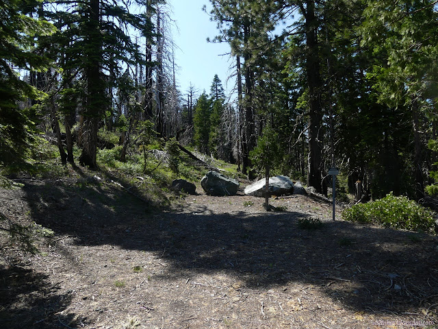
At the next saddle, the trail unexpectantly split. I decided the right might be a spur, but it wasn't. It climbs and drops following faint old road. Mining, I expect. There's a spur on it to get up to that first peak. I didn't take that, but I did spur off to see another spring.

I considered going back to try the other trail. I headed back on the road instead. There were some more scarlet fritillary when I got to the road. Had I gone on the other trail, I would have popped out very close to the car, but I didn't see the trailhead as I walked along the road. Admittedly, I wasn't looking all that closely because I didn't have to find it.
Then I decided it was time to find camp. The leftover afternoon could be used to invent a hike for the next day so that climbing Red Lassic would be put off just a little longer. I decided on an old camp spot at the end of a short, overgrown spur. Had I not seen so much water, I would have avoided it. It is next to another spring, a big pool with water pouring out down the side of the mountain. The bear path down the old spur and off down the mountain and shortcutting back up to the road on the other side were all quite well established. Just a slight worry.
*even more photos in the album*
©2023 Valerie Norton
Written 18 Jul 2023
Liked this? Interesting? Click the three bars at the top left for the menu to read more or subscribe!


Comments