Posts

Showing posts from March, 2023

Ma-le'l Dunes, south and north, for the wallflowers

Image
Arcata Field Office BLM Humboldt Bay National Wildlife Refuge ( map link ) The wallflowers are blooming and maybe it's time to make a wander over the Ma-le'l Dunes once more. We spotted them on the way to pulling the invasive marram grass last week, little yellow pompoms in a large depression and spotting a few other places in the dunes. Since I seem to be using flowers as motivation to document a place again, the critically endangered Erysimum menziesii , Menzies' Wallflower, was as good an excuse as any. It really is just an excuse. I wanted to wander the dunes. Beware. There has been some rabies found in grey foxes in the northern dunes. Information signs about trails in the south section of dunes are at both ends of the long parking area. I like the forest portions of the trails here, so I headed past a rabies warning on a less obvious trail that climbs up the old dunes hosting the trees. It follows a long and narrow crest between valleys of surprising depth

Fetid Adderstongue on the South Fork Elk River

Image
Headwaters Forest Reserve ( map link ) I was experimenting with the Seek app from iNaturalist (I'll say something about it at the end) and remembered to check on the fetid adderstongue. I found a couple leaves approximately where I remembered, then a couple seed pods getting a start, then a burst of flowers! Well, three. Not great, but not bad. A second plant had one more. Blooming fetid adderstongue was meant to be my trigger to go looking for them above the Elk River last year . I spotted them near the Eel River mostly in seed and jumped for it worried it was getting late for their season already. I see so many more seed pods developing than flowers. There weren't a lot then, at least not that I found. I decided to try it again, but didn't expect much. According to the plant phenology reported on iNaturalist observations , February is by far the biggest month to find blooming, falling off sharply by March. I was actually the thought of maybe seeing salmon run

Ku'wah-dah-wilth Restoration Area

Image
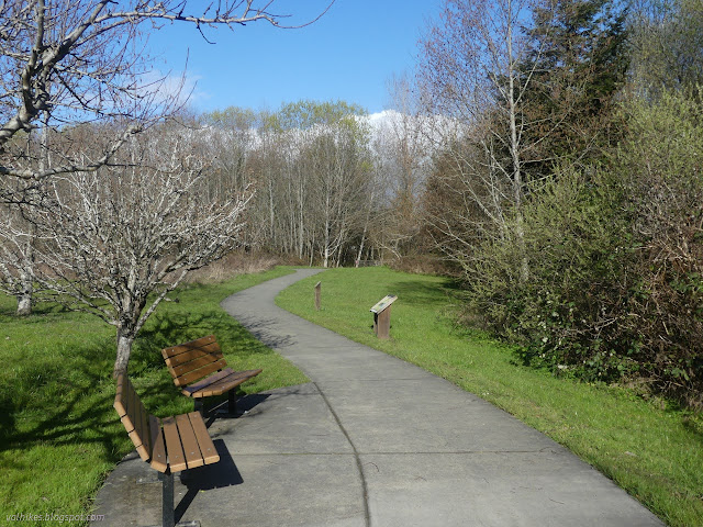
Potawot Indian Health Village ( map link ) When I was documenting even the littlest nature hikes available in the nearby city parks and similar at the end of 2021, there was a rather large omission. The Potawot Indian Health Village is split roughly in half between buildings and the Ku'wah-dah-wilth Restoration Area. This area has about two miles of looping trails around community gardens and areas purged of invasive species then replanted with native plants. The closer trails are paved while the outer parameter paths are dirt. I caught a sunny window and set off to wind and wander around these numerous trails, but managed to miss some of the outer ones. They were looking somewhat faint, but were not very muddy in spite of all the recent raining. I started at the information sign beside the parking lot. Dogs, bikes and other rolling things, and smoking aren't allowed in the Health Village. Starting out on the paved paths that loop this flat area. Looking toward the

follow by email