Posts

Showing posts with the label Stillwater BLM

Grimes Point and Hidden Cave

Image
Stillwater Field Office BLM ( map link ) I passed right by Grimes Point on the way out to see the annular eclipse , which quite definitively closes my circle through Nevada that started with the Pony Express and other ruins . (There's an introduction at the Lassen overlook , but that's in California, so that doesn't count.) I wanted to stop this time because there are petroglyphs. These aren't just any petroglyphs, either. Estimated to be at least 8000 years old, they're some of the oldest in the state. There are some that are probably at least 10,500, perhaps 14,000, years old, so they're not the oldest. One of a few information signs at the highly developed Grimes Point Trailhead which includes toilets, covered picnic tables, paved road access, and more information signs. My plan for the visit was to take a turn around the interpretive trail that visits some of the petroglyphs in the area, then head up the Observation Point Trail. There were some...
Corey Peak

Image
Stillwater Field Office BLM ( map link ) The sun came up leaving my apparently exposed camp in the shadow of the unnamed bulk north of Buller Mountain. I got to wishing this Trail Sense app didn't just tell me when the sun would come up, but would also show where, or at least give me a bearing. Then I could better plan to have a sunlit morning! The morning sun on Corey Peak, the goal for today, and the road to start climbing to it. Other sunlit peaks, short ones in Nevada and tall snowy ones in California. East along Lucky Boy Road to the colored sky. Of course, it's only a half hour to an hour more to get the sun. Still, more pleasant with it. I didn't have all that far to go (7-8 miles total) and all of it on clear road, so I didn't rush the start. The grader parked below got moving toward California eventually. The road wasn't smooth enough yet.

Below Corey Peak

Image
Humboldt-Toiyabe National Forest Stillwater Field Office BLM ( map link ) I stopped by the Mineral County Library in Hawthorne to do a few things on the web. The stop lasted a bit longer than expected because they have jigsaw puzzles out for working. I managed to head out in good time to find a camp site in the light and getting to the top of the top of Lucky Boy Pass took less time than expected as the road was recently graded. What to do with 40 minutes of light? The world was clearly directing me to go find the "Below Corey" geocache . I decided to let it push me along that way since it would mean I at least stepped foot into the forest. Along this road, it is essentially Bureau of Land Management on the north side of the road and National Forest on the south side. Besides, I do like a lonely cache and this one hadn't been visited in 6 years! This is doubly surprising since nearby ones have had much more recent visits. Lucky Boy Pass Road so recently polished...

Lazy Man and Evening Star Mines

Image
Stillwater Field Office BLM ( map link ) The bit of geocaching at the mining areas on the way up to Mable Mountain seemed quite successful, so I set out to find a couple more before stopping by the library in Hawthorne and then finding a new camp with easy access to Corey Peak. They were actually on the menu for the day I drove in, but the faint roads that lead to them proved so hard to see that I went right past before knowing it. With a lot more care, I got stopped in the right places on the way out. Since absolutely no one would care if I parked at the side of the road, I decided against challenging off road parking spots and didn't repeat throwing the car into a sand trap. First up, Lazy Man . I approached it from a hill that had been cut, but not for a road. Buildings and other structures and tailings from the Lazy Man Mine, worked around the 1930s?, lie below. The mine spreads out all around the hill. I headed down the hill, trackless on the south side, to hav...

Garfield Hills High Point

Image
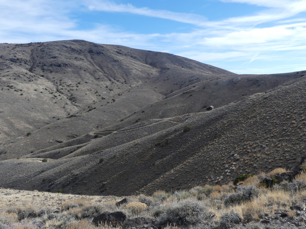
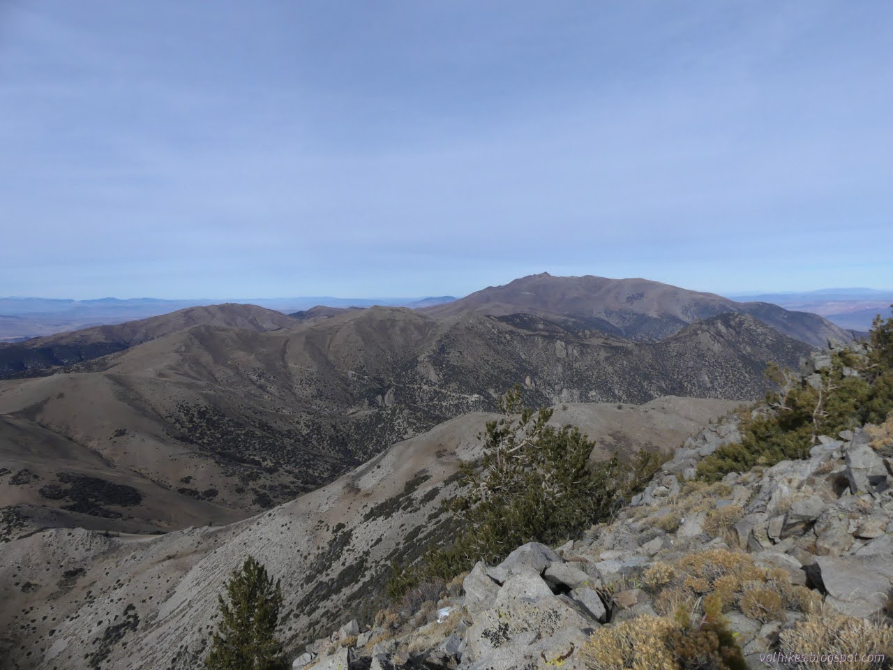
Stillwater Field Office BLM ( map link ) I headed down the good road from camp to another decaying road to hike the high point of the Garfield Hills. I thought I might go up that road far enough to clear the bit of private property around Garfield Flat, but decided against due to the rocks down the middle and just pulled over to park instead. Was that sand? I got out to verify that yep, I'd done an excellent job of parking, completely clearing the road, and sticking myself into somewhat deep sand. Since getting out of the sand would just mean having to find a new place to park, I decided to leave that task for later. No need for extra steps. I did a pretty good job of not fretting about it during the day as I took off up the road. This day would be road travel past the Bataan Mine , then a bit of the ridge between Mable Mountain and the high point to the day's goal. Then I'd take a slightly shorter route back with more cross country and less mine and road. Some ori...

Mable Mountain of the Garfield Hills

Image
Stillwater Field Office BLM ( map link ) If I could figure out a way to make permanent travel work, I'd have turned south to finish wiggling around Nevada. I've not, so I turned north to finish circling Nevada. However, there were still a few days of good weather left, so I stalled out in the Garfield Hills to check them out. Reports for getting to the high point on Peakbagger indicate Garfield Flat Road is rather rough on the east side, where it starts in Mina almost at an NDOT station. I came by the west side, past a tiny NDOT sign stating this road gets "minimal maintenance", and up some wash crossings. It looked like that minimal maintenance was quite recently done. I decided I would go up Mable Mountain. I read it as "Marble" and was a little upset there's no obvious marble like spots on it. There is a marble quarry half a mile down the road from my camp, though. There's no hint of marble on this Mable Mountain. I considered combini...

Copper Canyon

Image
Walker Lake Recreation Area, Stillwater BLM (map link) Peak bagging is a bit of a go to for me when looking for a hike in an area without any trails. I especially wanted to go up Mount Grant, the county high point. I expect it requires permission even if one does not try to obtain the key to drive up. Bald Mountain also looked like it could be an excellent hike. There's a canyon west of Sportsmans Beach Campground that looks interesting. What I settled on, partly because I had pulled in forward and didn't want to move the car, was Copper Canyon, directly west of Tamarack Beach. A stub of road gets to it and there is a benchmark far up it implying there was more road once. It could be hiding something. I thought I might turn from the main canyon to pass by a spring, and then make a loop up through some mining history on old pack trails. First, I struck out cross country to the mouth of the canyon, stopping for quick searches for benchmarks, one near the old highway and one...

Walker Lake stroll

Image
Walker Lake Recreation Area, Stillwater BLM (map link) After driving far too late into the night, I finally found myself a spot at Tamarack Beach Campground along Walker Lake. This is one of a pair of free Bureau of Land Management campgrounds along the lake. It looks small, but tent campers are allowed to drive down to the lake to find a site as they like. I kept to a pull in site rather than risk getting mired in the sand. A walk beside the lake seemed a sensible thing to do while I was there, so that's what I did. The north end of Walker Lake and the mildly colorful mountains on the far side. I headed off first to see what the danger signs I'd passed in the dark were about. They simply warn that the south shores are off limits and may contain unexploded munitions. The south shores are part of the Hawthorne Army Depot, which lays claim to being the largest munitions storage area in the world. Not a problem for me as I was headed north. I followed the generally comp...