Grimes Point and Hidden Cave
Stillwater Field Office BLM

I passed right by Grimes Point on the way out to see the annular eclipse, which quite definitively closes my circle through Nevada that started with the Pony Express and other ruins. (There's an introduction at the Lassen overlook, but that's in California, so that doesn't count.) I wanted to stop this time because there are petroglyphs. These aren't just any petroglyphs, either. Estimated to be at least 8000 years old, they're some of the oldest in the state. There are some that are probably at least 10,500, perhaps 14,000, years old, so they're not the oldest.

My plan for the visit was to take a turn around the interpretive trail that visits some of the petroglyphs in the area, then head up the Observation Point Trail. There were some geocaches in the area that met my standards, so I figured I would stop by them. (After I decided to find them, I noticed one of them had no recorded finds, so I might get a coveted "First To Find" on it.) Then I would head over to Hidden Cave for the interpretive trail there. There's signs to guide the way and a very well established trail. In fact, I wasn't even the only one on it. It's only a few steps to the first of the petroglyphs and the rest of the steps are quite surrounded by them as one loops around.

This first rock is actually a younger style, but it's still probably at least 3000 years old. It is the more common Great Basin Pecked style found at this site. That's still suitably old to call old.


My fellow wanderers seemed a little disappointed because these are so hard to see. I do agree these are hard to see, but when I look upon something that is still bright and full of contrast in the dark rock, I tend to wonder if it is truly old. These leave no question and they are pecked with such determination that there is no question of the meaningfulness either. I'm happy to see these where the desert varnish has reclaimed the area almost completely.


I continued around, reading the frequent signs and pondering the even more frequent art.


At the end, the trail splits to either take a very short return to finish off the loop or cross to the overlook trail. There's more petroglyphs along the connector trail, but that's the last I saw for a while.


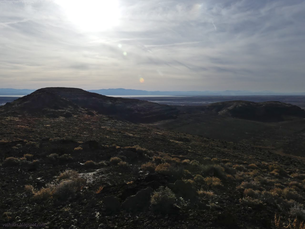
Getting up high certainly got a lot to look at, including the jets taking off and landing at the Naval Air Station. Taking off is really loud and far more sustained than the one boom that happened as well.


The trails at the top were well established and I wasn't the only one using them, either. A runner came by to tag the same high point I did. I located the geocaches I was after. That one that had never been found took a little effort to find, then more to retrieve and return, but I signed a blank log. Poking around for it helped me to notice the tufa. It's everywhere. Once this high point was a shallow part of the lake.


I found I was coming onto another system of trails, so followed along the ones I was on to connect with them. This passed even more interesting tufa along the basalt edges.


Heading down to the other trail, I found a bench and a sign. I had found my way to the Hidden Cave Interpretive Loop Trail without having to drive over. The signs here are frequently about the geology, but often with a human element.

I continued on around, taking spurs when they presented. First up happens to be Hidden Cave. I wouldn't be seeing it today.

So I just had to continue around the loop to the other two caves that were mentioned on the sign back at the Grimes Point parking.


The sign at Burnt Cave mentions there's pictographs in it. There are two locations where paint can still be seen, although "partly obscured by modern vandalism".

I continued around to the trailhead. It has pictures of the excavation of Hidden Cave and the information about the tours. I had plans for Saturday and I was pretty sure it was the 3rd one, but I checked anyway. Indeed, no tour for a week. There's also a bathroom and parking and picnic table.


There was a surprise on the way to Picnic Cave. Another rock of petroglyphs and these in a third style is present.


Picnic Cave is along the ledge I had been ogling for its tufa formations on the way down. It is on a small loop excursion from the main trail, but there is a sign to point the way.


So I continued around the loop until where I'd started.


I decided that since it was late, I'd take the more direct route back and took a trail down to the road, then back along it. It was certainly straighter and flatter, but I'm not sure it was better.


All that was left was to find a place to camp. These are day use areas, but there are areas of typical BLM rules to the east. They get used for quite a bit of target practice, unfortunately. All these spaces I was hiking were wrestled from being treated similarly. And it's a good thing they were! It is an extraordinary space to let the public come and see.
The next day would be sunny again, but it was reserved for getting back over the mountains before the big storm hit the following day. It was time to leave Nevada behind.
*photo album*
©2023,2024 Valerie Norton
Written 27 Feb 2024
Liked this? Interesting? Click the three bars at the top left for the menu to read more or subscribe!


Comments